- Elevation
- 76 m
- above sea level
- Local time
- UTC+00:00
- Europe/London · UTC+00:00
- Places inside
- 1
- listed under Snelson
- Airports
- MAN Manchester Airport10 km
- LPL Liverpool John Lennon Airport38 km
About Snelson
Snelson is a municipality. Location: Cheshire East, England. Elevation: 76 m. The best months to visit are June–September. The nearest airport is Manchester Airport (10 km). Nearby sights include Alderley Edge and Moss Rose.
Climate of Snelson
Best months for sightseeingBest months for sightseeing: June–September.
This month · November
A cold month
Day 10° · Night 4° · Rain 81 mm
- Hottest month
- July (day 20°)
- Coldest month
- January (night 1°)
- Wettest month
- November (81 mm)
- Driest month
- April (51 mm)
Bars: average monthly low and high temperature. Below: precipitation. Monthly averages for 1970–2000 at about 18 km resolution, adjusted for elevation. Highlighted months are mild and relatively dry. Source: WorldClim 2.1 (CC BY 4.0).
Show values as a table
| Month | Jan | Feb | Mar | Apr | May | Jun | Jul | Aug | Sep | Oct | Nov | Dec |
|---|---|---|---|---|---|---|---|---|---|---|---|---|
| Average high (°C) | 7° | 7° | 9° | 12° | 15° | 18° | 20° | 20° | 17° | 13° | 10° | 7° |
| Average low (°C) | 1° | 1° | 3° | 4° | 7° | 10° | 12° | 12° | 10° | 7° | 4° | 2° |
| Precipitation (mm) | 71 | 52 | 61 | 51 | 52 | 66 | 57 | 72 | 68 | 80 | 81 | 77 |
Other places to visit in this season: June July August September
How to get to Snelson
The nearest airport is Manchester Airport (MAN), 10 km to the north as the crow flies. The nearest large city is Stockport, 19 km to the northeast.
Airports
- Manchester Airport (MAN) Manchester, Greater Manchester 10 kmnorth
- Liverpool John Lennon Airport (LPL) Liverpool 38 kmwest
- Leeds Bradford Airport (LBA) Leeds, West Yorkshire 79 kmnortheast
Nearby large cities
- Stockport Population: 139.1K 19 kmnortheast
- Warrington Population: 172.3K 24 kmnorthwest
- Manchester Population: 569K 25 kmnorth
- Salford Population: 129.8K 25 kmnorth
- Newcastle-under-Lyme Population: 127.7K 29 kmsouth
Straight-line distances; road distances are longer. Airport data: OurAirports.
Day trips from Snelson
Within 100 km: 752 historic and cultural sites, 1,373 natural sites, 172 lakes, rivers and coasts.
0–25 km110 places
- Saint George's Island Island 24 kmN
- Birch Island Island 10 kmNW
- The Cloud Mountain 14 kmSE
- Shining Tor Mountain 19 kmE
25–60 km697 places
- Thurstaston Beach Beach 57 kmW
- The Island Island 45 kmN
- Goose Island Island 49 kmNW
- Wigg Island Island 29 kmW
60–100 km1,490 places
- Great Britain Island 84 kmN
- Formby Beach Beach 63 kmNW
- Ainsdale Beach Beach 64 kmNW
- St Anne's Beach Beach 73 kmNW
Straight-line distances.
Places in Snelson
1 placeCities & villages1
- Snelson · Village
Nearby attractions & nature
Everything nearby-
Alderley Edge Mountain, Nether Alderley6.5 km NE
-
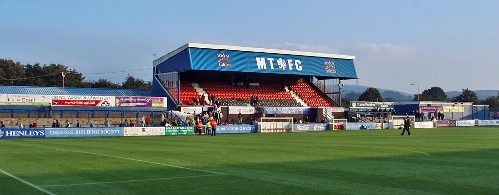 Moss Rose Landmark, Sutton11 km E
-
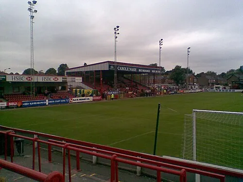 Moss Lane Landmark, Trafford14 km N
-
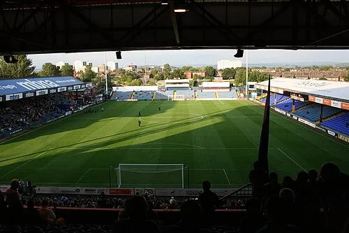 Edgeley Park Landmark, Offerton Park18 km NE
-
Ullerswood Historic site, Ringway10 km N
-
Tegg's Nose Mountain, Cheshire East14 km E
-
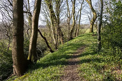 Biddulph Lea Forge Historic site, Biddulph17 km SE
-
Avro Heritage Museum Museum, Stockport13 km NE
Sources & licences
Data last updated: