- Population
- 101,382
- 101.4K
- Elevation
- 182 m
- above sea level
- Local time
- UTC+00:00
- Europe/London · UTC+00:00
- Places inside
- 139
- listed under West Dorset District
- Airports
- BOH Bournemouth Airport54 km
- EXT Exeter International Airport57 km
About West Dorset District
West Dorset District is a municipality. Location: Dorset, England. Population: 101,382. Elevation: 182 m. The best months to visit are June–September. The nearest airport is Bournemouth Airport (54 km). Nearby sights include Huish Park and Birts Hill.
Photos of West Dorset District
-
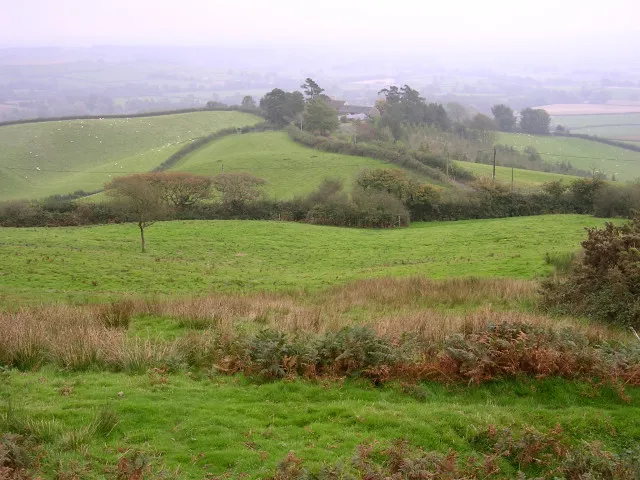
Pilsdon Pen Jim Champion · CC BY-SA 2.0 -
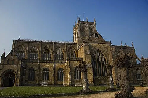
Sherborne Abbey The original uploader was Isis at English Wikipedia · CC BY-SA 3.0 -
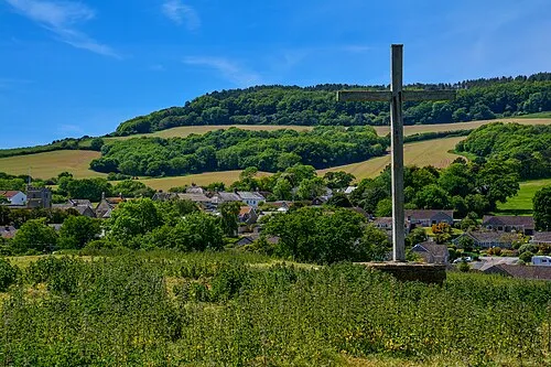
Chideock Castle Lewis Clarke · CC BY-SA 2.0 -
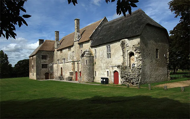
Woodsford Castle Mike Searle · CC BY-SA 2.0 -
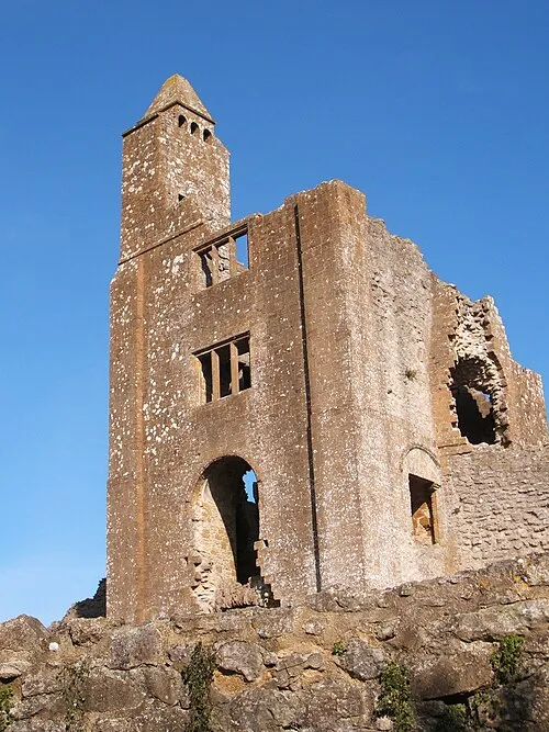
Sherborne Old Castle Pengannel · CC BY 2.0


Climate of West Dorset District
Best months for sightseeingBest months for sightseeing: June–September.
This month · November
A cold month
Day 11° · Night 5° · Rain 87 mm
- Hottest month
- July (day 20°)
- Coldest month
- February (night 2°)
- Wettest month
- January (104 mm)
- Driest month
- July (54 mm)
Bars: average monthly low and high temperature. Below: precipitation. Monthly averages for 1970–2000 at about 18 km resolution, adjusted for elevation. Highlighted months are mild and relatively dry. Source: WorldClim 2.1 (CC BY 4.0).
Show values as a table
| Month | Jan | Feb | Mar | Apr | May | Jun | Jul | Aug | Sep | Oct | Nov | Dec |
|---|---|---|---|---|---|---|---|---|---|---|---|---|
| Average high (°C) | 8° | 8° | 10° | 12° | 15° | 18° | 20° | 20° | 18° | 14° | 11° | 9° |
| Average low (°C) | 2° | 2° | 3° | 4° | 7° | 9° | 12° | 12° | 10° | 8° | 5° | 3° |
| Precipitation (mm) | 104 | 78 | 72 | 59 | 59 | 55 | 54 | 63 | 70 | 90 | 87 | 102 |
Other places to visit in this season: June July August September
How to get to West Dorset District
The nearest airport is Bournemouth Airport (BOH), 54 km to the east as the crow flies. For international flights: Bristol Airport (BRS) (66 km). The nearest large city is Poole, 45 km to the east.
Airports
- Bournemouth Airport (BOH) Bournemouth 54 kmeast
- Exeter International Airport (EXT) Exeter, Devon 57 kmwest
- Bristol Airport (BRS) Bristol 66 kmnorth
Nearby large cities
- Poole Population: 151.5K 45 kmeast
- Bournemouth Population: 163.6K 52 kmeast
- Exeter Population: 130.7K 65 kmwest
- Bath Population: 101.6K 67 kmnorth
- Bristol Population: 479K 74 kmnorth
Straight-line distances; road distances are longer. Airport data: OurAirports.
Day trips from West Dorset District
Within 100 km: 396 historic and cultural sites, 1,014 natural sites, 127 lakes, rivers and coasts.
0–25 km124 places
- Chesil Beach Beach 18 kmS
- Charmouth Beach Beach 21 kmW
- Wakeling Island Island 22 kmSE
- Overton Island Island 21 kmSE
25–60 km401 places
- Brownsea Island Island 47 kmE
- Studland Beach Beach 49 kmE
- Man O'War Beach Beach 31 kmSE
- Round Island Island 43 kmE
60–100 km1,012 places
- Isle of Wight Island 94 kmE
- Avon Beach Beach 62 kmE
- Goodrington Sands Beach 80 kmSW
- Calshot Beach Beach 92 kmE
Straight-line distances.
West Dorset District and similar cities
Side by side with cities of similar size in the same country: population, elevation and climate.
| Measure | West Dorset District | Bath | Gillingham | Worcester |
|---|---|---|---|---|
| Population | 101.4K | 101.6K | 101.2K | 101.7K |
| Elevation | 182 m | 96 m | 31 m | 29 m |
| Summer day (hottest month) | 20° | 21° | 22° | 21° |
| Winter night (coldest month) | 2° | 2° | 2° | 1° |
| Annual rainfall | 893 mm | 835 mm | 590 mm | 824 mm |
| Best months | Jun–Sep | Jun–Aug | Jun–Aug | Jun–Aug |
| Distance | — | 67 km | 231 km | 158 km |
Climate values are 1970–2000 monthly averages; straight-line distance.
Places in West Dorset District
139 placesCities & villages60
- Langton Herring · Village
- Leigh · Village
- Leweston · Village
- Lillington · Village
- Littlebredy · Village
- Litton Cheney · Village
- Loders · Village
- Long Bredy · Village
- Longburton · Village
- Lyme Regis · Village
- Maiden Newton · Village
- Mapperton · Village
- Marshwood · Village
- Melbury Bubb · Village
- Melbury Osmond · Village
- Melbury Sampford · Village
- Melcombe Horsey · Village
- Minterne Magna · Village
- Mosterton · Village
- Netherbury · Village
- Nether Cerne · Village
- Nether Compton · Village
- North Poorton · Village
- North Wootton · Village
- Oborne · Village
- Osmington · Village
- Over Compton · Village
- Owermoigne · Village
- Piddlehinton · Village
- Piddletrenthide · Village
- Pilsdon · Village
- Portesham · Village
- Powerstock · Village
- Poxwell · Village
- Poyntington · Village
- Puddletown · Village
- Puncknowle · Village
- Purse Caundle · Village
- Rampisham · Village
- Ryme Intrinseca · Village
- Sandford Orcas · Village
- Seaborough · Village
- Sherborne · Village
- Shipton Gorge · Village
- South Perrott · Village
- Stanton St. Gabriel · Village
- Stinsford · Village
- Stockwood · Village
- Stoke Abbott · Village
- Stratton · Village
- Swyre · Village
- Sydling St. Nicholas · Village
- Symondsbury · Village
- Thorncombe · Village
- Thornford · Village
- Tincleton · Village
- Toller Fratrum · Village
- Toller Porcorum · Village
- Tolpuddle · Village
- Trent · Village
Nearby attractions & nature
Everything nearby-
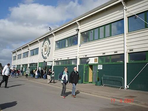 Huish Park Landmark, Brympton18 km N
-
Birts Hill Mountain, Closworth11 km NW
-
Abbot's Hill Mountain, Closworth11 km N
-
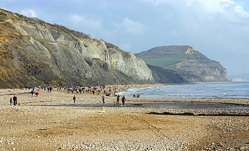 Golden Cape Natural site, England19 km SW
-
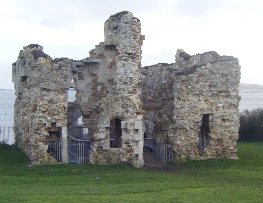 Sandsfoot Castle Historic site, Weymouth and Portland District25 km SE
-
Crondle Hill Mountain, North Perrott13 km NW
-
Osmington Hill Mountain, Weymouth and Portland District22 km SE
-
Coker Hill Mountain, West Coker15 km NW
Other cities and towns in Dorset
-
Weymouth and Portland District Municipality, Dorset23 km SE
-
North Dorset District Municipality, Dorset28 km NE
-
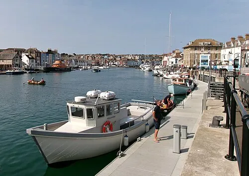 Weymouth Town, Weymouth and Portland District23 km SE
-
Bridport Town, Bridport12 km SW
-
Dorchester City, West Dorset District15 km SE
-
Purbeck District Municipality, Dorset36 km E
Sources & licences
Data last updated: