- Population
- 65,000
- 65K
- Elevation
- 54 m
- above sea level
- Local time
- UTC+00:00
- Europe/London · UTC+00:00
- Airports
- LHR London Heathrow Airport19 km
- LCY London City Airport20 km
About Cricklewood
Cricklewood is a town. Location: Brent, Greater London. Population: 65,000. Elevation: 54 m.
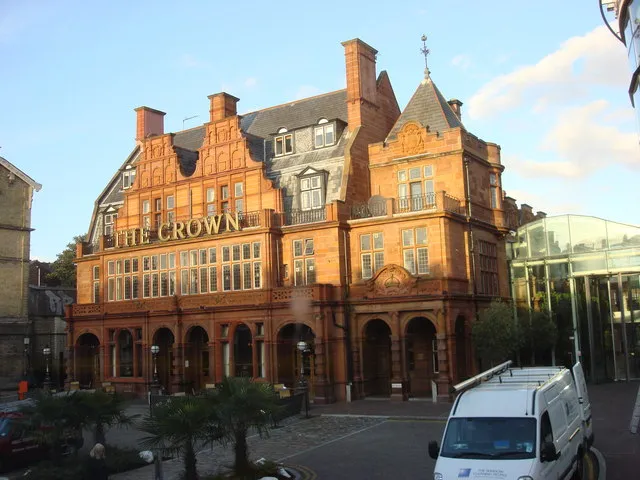
Cricklewood is a town in North West London, England, in the London Boroughs of Barnet and Brent. The Crown pub, now the Clayton Crown Hotel, is a local landmark and lies 5 miles (8 km) north-west of Charing Cross. Cricklewood was a small rural hamlet around Edgware Road, the Roman road which was later called Watling Street and which forms the boundary of the two boroughs that share Cricklewood. The area urbanised after the arrival of the surface and underground railways in nearby Willesden Green in the 1870s.
Source: Wikipedia · CC BY-SA 4.0
Photos of Cricklewood
-

Foulger Rail Photos from Basingstoke, UK · CC BY-SA 2.0 -

The Basingstoker · CC BY-SA 2.0 -

Marathon · CC BY-SA 2.0 -

David Howard · CC BY-SA 2.0 -

David Hillas · CC BY-SA 2.0


Places bordering Cricklewood
- Childs Hill
Climate of Cricklewood
Best months for sightseeingBest months for sightseeing: June–August.
This month · November
A cold month
Day 11° · Night 4° · Rain 61 mm
- Hottest month
- July (day 23°)
- Coldest month
- February (night 2°)
- Wettest month
- October (64 mm)
- Driest month
- February (41 mm)
Bars: average monthly low and high temperature. Below: precipitation. Monthly averages for 1970–2000 at about 18 km resolution, adjusted for elevation. Highlighted months are mild and relatively dry. Source: WorldClim 2.1 (CC BY 4.0).
Show values as a table
| Month | Jan | Feb | Mar | Apr | May | Jun | Jul | Aug | Sep | Oct | Nov | Dec |
|---|---|---|---|---|---|---|---|---|---|---|---|---|
| Average high (°C) | 7° | 8° | 11° | 13° | 17° | 20° | 23° | 22° | 19° | 15° | 11° | 8° |
| Average low (°C) | 2° | 2° | 3° | 4° | 7° | 10° | 13° | 12° | 10° | 7° | 4° | 3° |
| Precipitation (mm) | 63 | 41 | 49 | 46 | 50 | 55 | 43 | 51 | 58 | 64 | 61 | 62 |
How to get to Cricklewood
The nearest airport is London Heathrow Airport (LHR), 19 km to the southwest as the crow flies. The nearest large city is Archway, 6 km to the east.
Airports
- London Heathrow Airport (LHR) London 19 kmsouthwest
- London City Airport (LCY) London 20 kmeast
- London Luton Airport (LTN) Luton, Luton 37 kmnorth
Nearby large cities
- Archway Population: 215.7K 6 kmeast
- Islington Population: 319.1K 8 kmeast
- London Population: 9M 8 kmsoutheast
- Harrow Population: 149.2K 8 kmwest
- City of Westminster Population: 247.6K 9 kmsoutheast
Straight-line distances; road distances are longer. Airport data: OurAirports.
Day trips from Cricklewood
Within 100 km: 845 historic and cultural sites, 595 natural sites, 320 lakes, rivers and coasts.
0–25 km439 places
- White Hart Lane Landmark 12 kmNE
- Sunbury Court Island 21 kmSW
- Rivermead Island 21 kmSW
- Lot's Ait Island 10 kmSW
25–60 km580 places
- Spotlites @ Kings Theatre Attraction 55 kmE
- The Lynch Island 48 kmW
- Canvey Island Island 55 kmE
- Holm Island Island 26 kmSW
60–100 km741 places
- Isle of Sheppey Island 75 kmE
- St Nicholas Church Shoreham Attraction 80 kmS
- The Marlipins Museum Museum 81 kmS
- Camber Sands Beach 99 kmSE
Straight-line distances.
Cricklewood and similar cities
Side by side with cities of similar size in the same country: population, elevation and climate.
| Measure | Cricklewood | Taunton | Torquay | Wrexham |
|---|---|---|---|---|
| Population | 65K | 64.6K | 65.4K | 65.7K |
| Elevation | 54 m | 22 m | 8 m | 87 m |
| Summer day (hottest month) | 23° | 21° | 21° | 20° |
| Winter night (coldest month) | 2° | 3° | 4° | 0° |
| Annual rainfall | 643 mm | 954 mm | 947 mm | 673 mm |
| Best months | Jun–Aug | Jun–Aug | Jun–Sep | Jun–Aug |
| Distance | — | 210 km | 262 km | 252 km |
Climate values are 1970–2000 monthly averages; straight-line distance.
Nearby attractions & nature
Everything nearby-
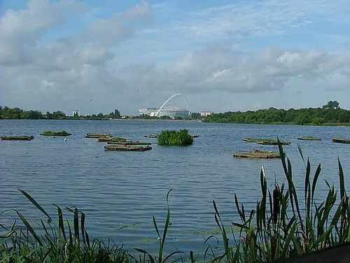 Welsh Harp Lake, Barnet2.6 km NW
-
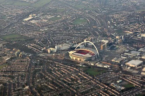
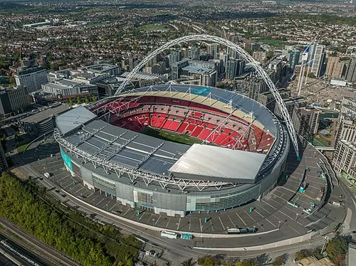 Wembley Stadium Landmark, Brent4.4 km W
-
Hampstead Heath Mountain, Camden2.5 km E
-
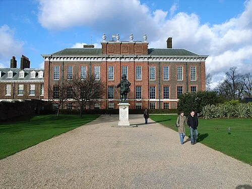 Kensington Palace Historic site, Royal Kensington and Chelsea6 km S
-
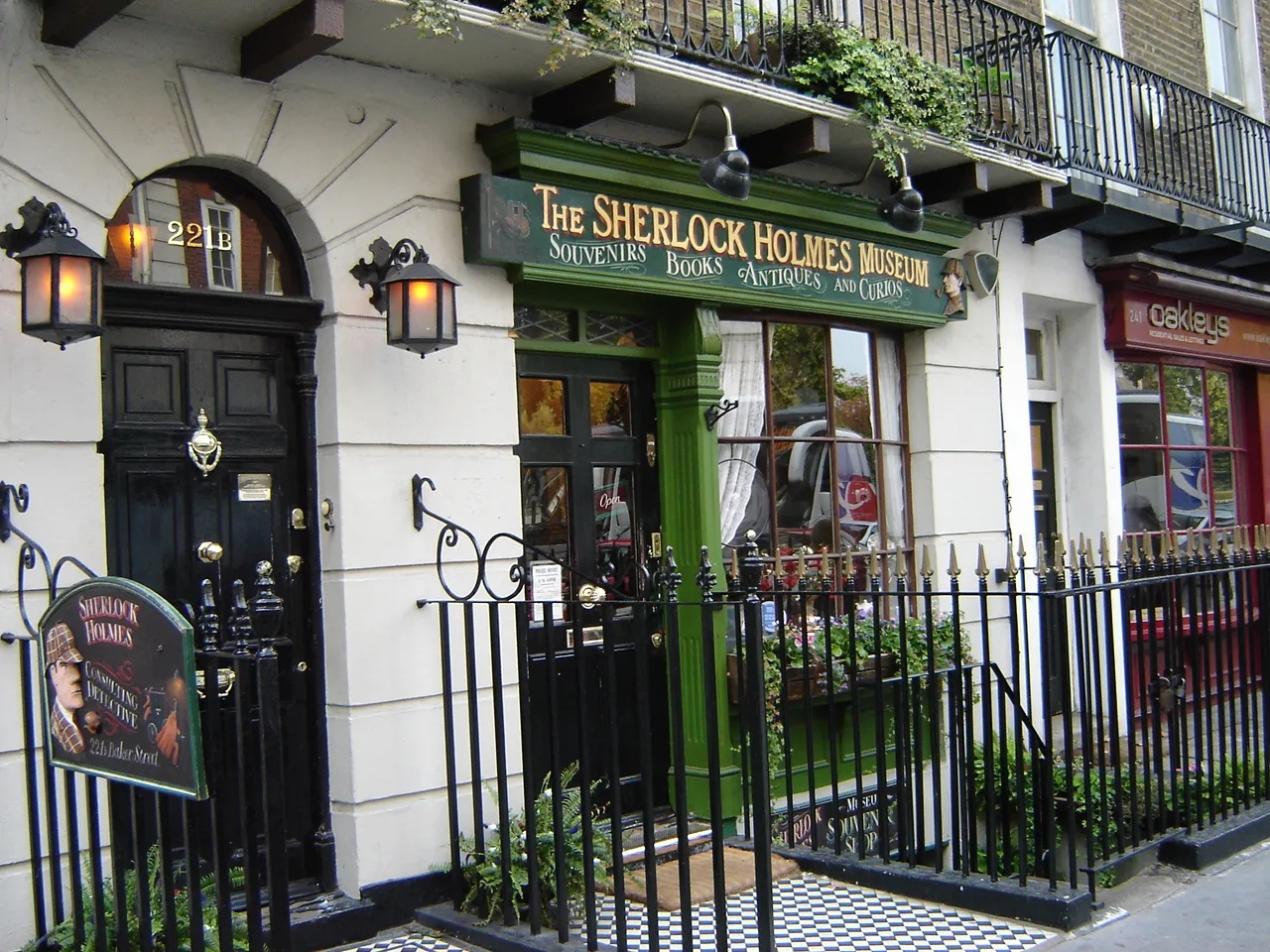 Sherlock Holmes Museum Museum, City of Westminster5.4 km SE
-
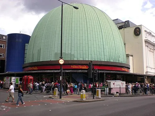 Madame Tussauds Museum, City of Westminster5.6 km SE
-
 Loftus Road Landmark, Hammersmith and Fulham5.4 km S
-
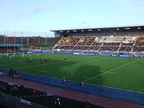 Stone-X Stadium Landmark, Barnet5.3 km N
Other cities and towns in Brent
Sources & licences
Data last updated: · 2 independent sources