- Population
- 90,045
- 90K
- Elevation
- 46 m
- above sea level
- Local time
- UTC+00:00
- Europe/London · UTC+00:00
- Airports
- LHR London Heathrow Airport15 km
- LCY London City Airport25 km
About Wembley
Wembley is a town. Location: Brent, Greater London. Population: 90,045. Elevation: 46 m.
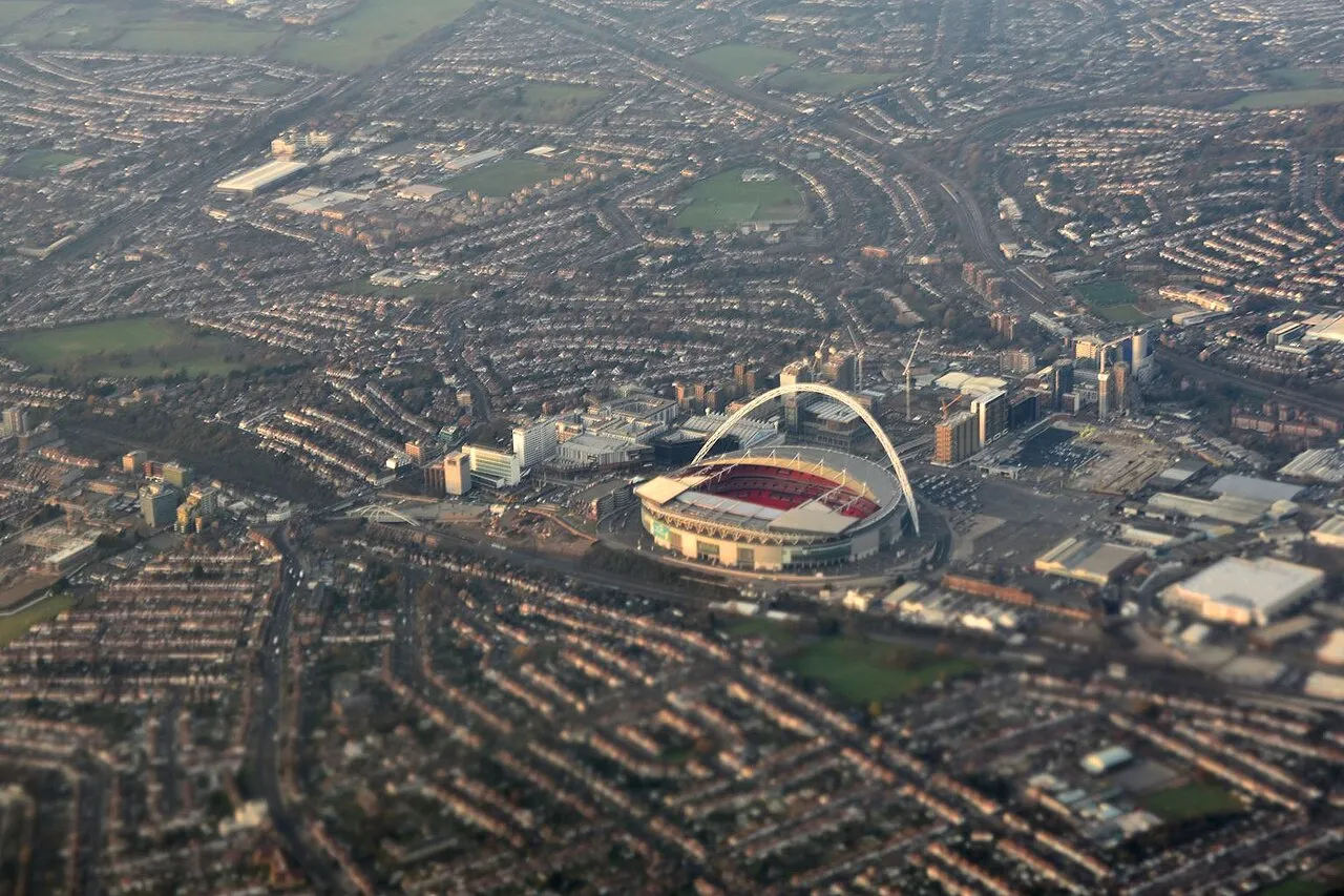
Wembley () is a district in the London Borough of Brent, north-west London, 8 miles (13 km) northwest of Charing Cross. It includes the wards of Alperton, Barn Hill, Kenton, Northwick Park, Preston, Sudbury, Tokyngton and Wembley Central, Wembley Hill and Wembley Park. The population was 133,616 in 2021, an increase of 20,000 since 2011. Wembley was for over 800 years part of the parish of Harrow on the Hill in Middlesex. Its heart, Wembley Green, was surrounded by agricultural manors and their hamlets.
Source: Wikipedia · CC BY-SA 4.0
Photos of Wembley
-

David Howard · CC BY-SA 2.0 -

Marathon · CC BY-SA 2.0 -

train_photos · CC BY-SA 2.0 -

train_photos · CC BY-SA 2.0 -

TheJRB · CC BY-SA 2.0


Places bordering Wembley
- Sudbury
- Alperton
Climate of Wembley
Best months for sightseeingBest months for sightseeing: June–August.
This month · November
A cold month
Day 11° · Night 4° · Rain 61 mm
- Hottest month
- July (day 23°)
- Coldest month
- February (night 2°)
- Wettest month
- October (64 mm)
- Driest month
- February (41 mm)
Bars: average monthly low and high temperature. Below: precipitation. Monthly averages for 1970–2000 at about 18 km resolution, adjusted for elevation. Highlighted months are mild and relatively dry. Source: WorldClim 2.1 (CC BY 4.0).
Show values as a table
| Month | Jan | Feb | Mar | Apr | May | Jun | Jul | Aug | Sep | Oct | Nov | Dec |
|---|---|---|---|---|---|---|---|---|---|---|---|---|
| Average high (°C) | 7° | 8° | 11° | 13° | 17° | 20° | 23° | 22° | 19° | 15° | 11° | 8° |
| Average low (°C) | 2° | 2° | 3° | 4° | 7° | 10° | 13° | 12° | 10° | 7° | 4° | 3° |
| Precipitation (mm) | 63 | 41 | 49 | 46 | 50 | 55 | 43 | 51 | 58 | 64 | 61 | 62 |
How to get to Wembley
The nearest airport is London Heathrow Airport (LHR), 15 km to the southwest as the crow flies. The nearest large city is Harrow, 4 km to the northwest.
Airports
- London Heathrow Airport (LHR) London 15 kmsouthwest
- London City Airport (LCY) London 25 kmeast
- London Luton Airport (LTN) Luton, Luton 36 kmnorth
Nearby large cities
- Harrow Population: 149.2K 4 kmnorthwest
- Archway Population: 215.7K 11 kmeast
- City of Westminster Population: 247.6K 13 kmsoutheast
- London Population: 9M 13 kmeast
- Watford Population: 125.7K 13 kmnorthwest
Straight-line distances; road distances are longer. Airport data: OurAirports.
Day trips from Wembley
Within 100 km: 851 historic and cultural sites, 623 natural sites, 323 lakes, rivers and coasts.
0–25 km471 places
- White Hart Lane Landmark 17 kmE
- Holm Island Island 21 kmSW
- Sunbury Court Island 17 kmSW
- Rivermead Island 18 kmSW
25–60 km538 places
- The Lynch Island 42 kmW
- Windsor Racecourse Island Island 25 kmW
- Wargrave Island Island 40 kmW
- Loddon Island Island 41 kmW
60–100 km788 places
- Portsea Island Natural site 100 kmSW
- Isle of Sheppey Island 80 kmE
- Spotlites @ Kings Theatre Attraction 61 kmE
- St Nicholas Church Shoreham Attraction 79 kmS
Straight-line distances.
Wembley and similar cities
Side by side with cities of similar size in the same country: population, elevation and climate.
| Measure | Wembley | Grays | Chester | Hartlepool |
|---|---|---|---|---|
| Population | 90K | 89.8K | 90.5K | 88.9K |
| Elevation | 46 m | 13 m | 34 m | 11 m |
| Summer day (hottest month) | 23° | 22° | 20° | 20° |
| Winter night (coldest month) | 2° | 2° | 1° | 2° |
| Annual rainfall | 643 mm | 645 mm | 695 mm | 751 mm |
| Best months | Jun–Aug | Jun–Aug | Jun–Aug | Jun–Sep |
| Distance | — | 44 km | 254 km | 354 km |
Climate values are 1970–2000 monthly averages; straight-line distance.
Nearby attractions & nature
Everything nearby-
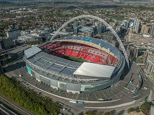 Wembley Stadium Landmark, Brent1.3 km E
-
Wembley Hill Mountain, Brent0.6 km NE
-
Watkin's Tower Historic site, Brent1.3 km E
-
Sudbury Mountain, Brent2.2 km NW
-
Barn Hill Mountain, Brent2.5 km NE
-
Horsenden Hill Mountain, Ealing2.1 km W
-
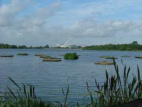 Welsh Harp Lake, Barnet3.9 km NE
-
Hanger Hill Mountain, Ealing3.1 km S
Other cities and towns in Brent
-
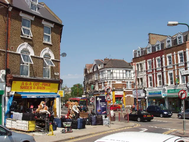 Harlesden Town, Brent3.6 km SE
-
 Cricklewood Town, Brent5.7 km E
-
Willesden Town, Brent4.9 km SE
Sources & licences
Data last updated: · 2 independent sources