- Population
- 25,530
- 25.5K
- Elevation
- 82 m
- above sea level
- Local time
- UTC+00:00
- Europe/London · UTC+00:00
- Airports
- LGW London Gatwick Airport19 km
- LCY London City Airport25 km
About Coulsdon
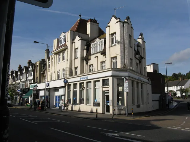
Coulsdon is a town. Location: Croydon, Greater London. Population: 25,530. Elevation: 82 m.
Coulsdon (, traditionally pronounced ) is a town in south London, England, within the London Borough of Croydon. Coulsdon was an ancient parish in the county of Surrey that included the settlements of Purley and Kenley. It was merged with Sanderstead in 1915 to form the Coulsdon and Purley Urban District and has formed part of Greater London since 1965.
Source: Wikipedia · CC BY-SA 4.0
Photos of Coulsdon
-

Donald Macauley from Carshalton, Surrey, UK · CC BY-SA 2.0 -

Peter Trimming · CC BY-SA 2.0 -

Roger Carvell · CC BY 3.0 -

allen watkin from London, UK · CC BY-SA 2.0 -

Peter Trimming · CC BY-SA 2.0


Climate of Coulsdon
Best months for sightseeingBest months for sightseeing: June–August.
This month · November
A cold month
Day 10° · Night 4° · Rain 78 mm
- Hottest month
- July (day 22°)
- Coldest month
- February (night 1°)
- Wettest month
- January (82 mm)
- Driest month
- July (44 mm)
Bars: average monthly low and high temperature. Below: precipitation. Monthly averages for 1970–2000 at about 18 km resolution, adjusted for elevation. Highlighted months are mild and relatively dry. Source: WorldClim 2.1 (CC BY 4.0).
Show values as a table
| Month | Jan | Feb | Mar | Apr | May | Jun | Jul | Aug | Sep | Oct | Nov | Dec |
|---|---|---|---|---|---|---|---|---|---|---|---|---|
| Average high (°C) | 7° | 7° | 10° | 12° | 16° | 19° | 22° | 22° | 18° | 15° | 10° | 8° |
| Average low (°C) | 1° | 1° | 3° | 4° | 7° | 10° | 12° | 12° | 10° | 7° | 4° | 2° |
| Precipitation (mm) | 82 | 52 | 59 | 50 | 51 | 57 | 44 | 54 | 65 | 75 | 78 | 80 |
How to get to Coulsdon
The nearest airport is London Gatwick Airport (LGW), 19 km to the south as the crow flies. The nearest large city is Sutton, 5 km to the northwest.
Airports
- London Gatwick Airport (LGW) London 19 kmsouth
- London City Airport (LCY) London 25 kmnortheast
- London Heathrow Airport (LHR) London 28 kmnorthwest
Nearby large cities
- Sutton Population: 187.6K 5 kmnorthwest
- Croydon Population: 173.3K 8 kmnorth
- City of Westminster Population: 247.6K 20 kmnorth
- London Population: 9M 21 kmnorth
- Crawley Population: 124K 23 kmsouth
Straight-line distances; road distances are longer. Airport data: OurAirports.
Day trips from Coulsdon
Within 100 km: 798 historic and cultural sites, 608 natural sites, 324 lakes, rivers and coasts.
0–25 km400 places
- Sunbury Court Island 20 kmNW
- Rivermead Island 20 kmNW
- Lot's Ait Island 21 kmNW
- Ravens Ait Island 15 kmNW
25–60 km600 places
- White Hart Lane Landmark 32 kmN
- Spotlites @ Kings Theatre Attraction 47 kmE
- St Nicholas Church Shoreham Attraction 54 kmS
- The Marlipins Museum Museum 55 kmS
60–100 km730 places
- Portsea Island Natural site 87 kmSW
- Isle of Sheppey Island 68 kmE
- Camber Sands Beach 78 kmSE
- Calshot Beach Beach 100 kmSW
Straight-line distances.
Nearby attractions & nature
Everything nearby-
Clock House Mountain, Sutton1.4 km W
-
Sanderstead Plantation Mountain, Croydon5.2 km NE
-
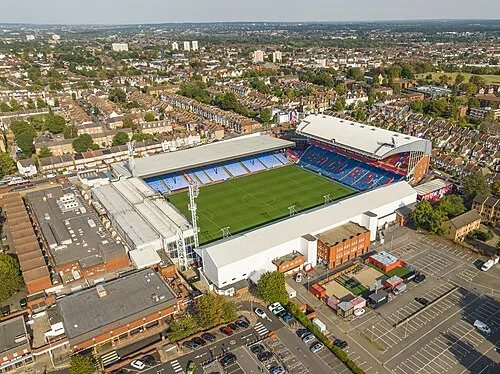 Selhurst Park Landmark, Croydon9.5 km NE
-
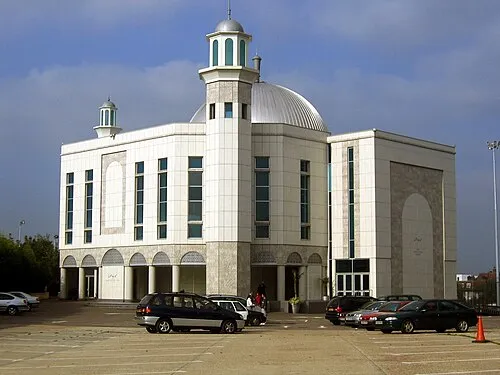 Baitul Futuh Mosque Attraction, Merton9.4 km NW
-
Eyhurst Park Natural site, Reigate and Banstead District5 km SW
-
Manor Park Natural site, Sutton5.9 km NW
-
Merland Rise Recreational Ground Natural site, Reigate and Banstead District6.5 km W
-
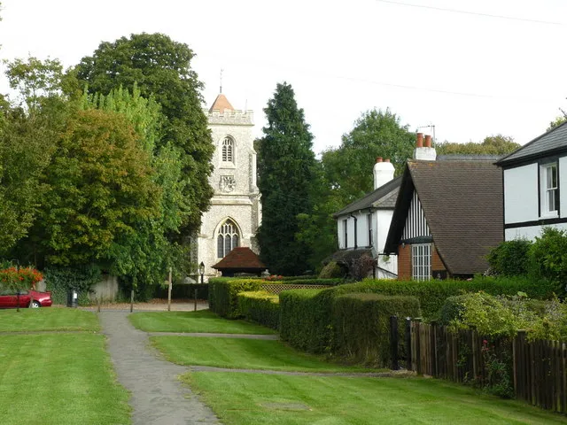 Walton on the Hill Historic site, Reigate and Banstead District8.7 km SW
Other cities and towns in Croydon
-
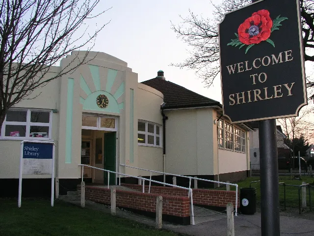 Shirley Town, Croydon9 km NE
-
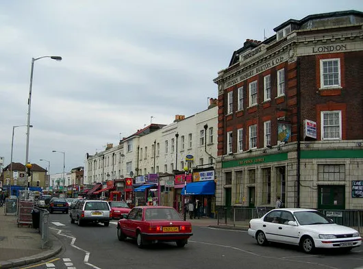 Thornton Heath Town, Croydon9.2 km N
-
South Croydon Town, Croydon5.7 km NE
-
Croydon City, Croydon7.6 km N
Sources & licences
Data last updated: · 2 independent sources