- Elevation
- 147 m
- above sea level
- Local time
- UTC+00:00
- Europe/London · UTC+00:00
- Airports
- LGW London Gatwick Airport20 km
- LCY London City Airport25 km
About Clock House
Clock House is a mountain. Location: Sutton, Greater London. Elevation: 147 m. The best months to visit are June–August. The nearest airport is London Gatwick Airport (20 km). Nearby sights include Eyhurst Park and Manor Park.
Climate of Clock House
Best months for sightseeingBest months for sightseeing: June–August.
This month · November
A cold month
Day 10° · Night 3° · Rain 78 mm
- Hottest month
- July (day 21°)
- Coldest month
- February (night 1°)
- Wettest month
- January (82 mm)
- Driest month
- July (44 mm)
Bars: average monthly low and high temperature. Below: precipitation. Monthly averages for 1970–2000 at about 18 km resolution, adjusted for elevation. Highlighted months are mild and relatively dry. Source: WorldClim 2.1 (CC BY 4.0).
Show values as a table
| Month | Jan | Feb | Mar | Apr | May | Jun | Jul | Aug | Sep | Oct | Nov | Dec |
|---|---|---|---|---|---|---|---|---|---|---|---|---|
| Average high (°C) | 7° | 7° | 10° | 12° | 16° | 19° | 21° | 21° | 18° | 14° | 10° | 8° |
| Average low (°C) | 1° | 1° | 2° | 3° | 6° | 9° | 11° | 11° | 9° | 7° | 3° | 2° |
| Precipitation (mm) | 82 | 52 | 59 | 50 | 51 | 57 | 44 | 54 | 65 | 75 | 78 | 80 |
How to get to Clock House
The nearest airport is London Gatwick Airport (LGW), 20 km to the south as the crow flies. The nearest large city is Sutton, 4 km to the northwest.
Airports
- London Gatwick Airport (LGW) London 20 kmsouth
- London City Airport (LCY) London 25 kmnortheast
- London Heathrow Airport (LHR) London 27 kmnorthwest
Nearby large cities
- Sutton Population: 187.6K 4 kmnorthwest
- Croydon Population: 173.3K 8 kmnortheast
- City of Westminster Population: 247.6K 19 kmnorth
- London Population: 9M 21 kmnorth
- Crawley Population: 124K 23 kmsouth
Straight-line distances; road distances are longer. Airport data: OurAirports.
Day trips from Clock House
Within 100 km: 802 historic and cultural sites, 613 natural sites, 325 lakes, rivers and coasts.
0–25 km404 places
- Sunbury Court Island 19 kmNW
- Rivermead Island 19 kmNW
- Lot's Ait Island 20 kmNW
- Ravens Ait Island 13 kmNW
25–60 km598 places
- White Hart Lane Landmark 32 kmN
- Spotlites @ Kings Theatre Attraction 49 kmE
- St Nicholas Church Shoreham Attraction 54 kmS
- The Marlipins Museum Museum 55 kmS
60–100 km738 places
- Portsea Island Natural site 86 kmSW
- Isle of Sheppey Island 70 kmE
- Camber Sands Beach 80 kmSE
- Calshot Beach Beach 99 kmSW
Straight-line distances.
Nearest towns and villages
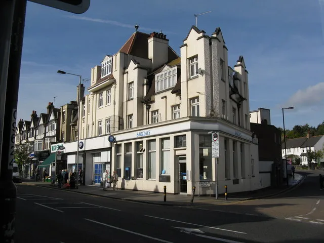
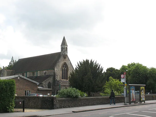
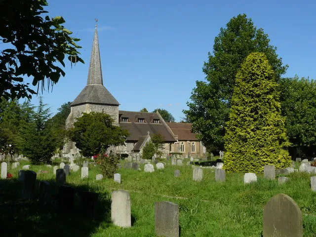
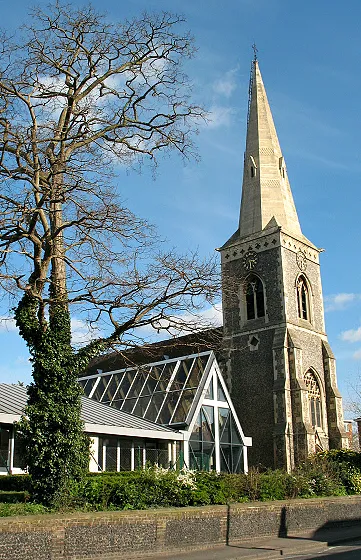
Nearby attractions & nature
Everything nearby-
Eyhurst Park Natural site, Reigate and Banstead District4.6 km SW
-
Manor Park Natural site, Sutton4.9 km NW
-
Merland Rise Recreational Ground Natural site, Reigate and Banstead District5.4 km SW
-
Pot Wood Natural site, Reigate and Banstead District5.9 km SW
-
Sanderstead Plantation Mountain, Croydon6.3 km E
-
Nonsuch Park Natural site, Epsom and Ewell District6.4 km NW
-
Lothian Wood Natural site, Reigate and Banstead District6.5 km SW
-
White Hill Mountain, Caterham Valley8.1 km SE
Sources & licences
Data last updated: