Richmond Bridge
Located in Richmond upon Thames, Greater London Coordinates: 51°27′27″ N 0°18′26″ W
- Local time
- UTC+00:00
- Europe/London · UTC+00:00
- Elevation
- 8 m
- above sea level
- Airports
- LHR London Heathrow Airport11 km
- LCY London City Airport26 km
About Richmond Bridge
Richmond Bridge is a landmark. Location: Richmond upon Thames, Greater London.
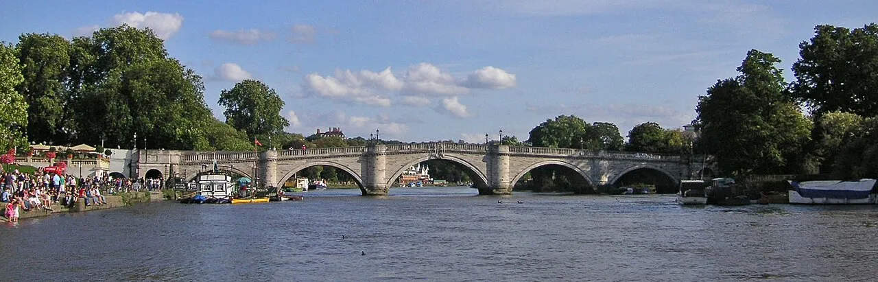
Richmond Bridge is an 18th-century stone arch bridge that crosses the River Thames at Richmond, connecting the two halves of the present-day London Borough of Richmond upon Thames. It was designed by James Paine and Kenton Couse. The bridge, which is Grade I listed, was built between 1774 and 1777, as a replacement for a ferry crossing which connected Richmond town centre on the east bank with its neighbouring district of East Twickenham to the west.
Source: Wikipedia · CC BY-SA 4.0
At a glance
- Opened
- 1777
- Heritage designation
- Grade I listed building
Source: Wikidata
Photos of Richmond Bridge
-

Xander11012 · CC BY-SA 4.0 -

Jocelyn Erskine-Kellie from London, UK · CC BY 2.0 -

Dinkum · CC BY-SA 3.0 -

Peter S · CC BY-SA 2.0 -

Sergei Gussev · CC BY 2.0


Climate of Richmond Bridge
Best months for sightseeingBest months for sightseeing: June–August.
This month · November
A cold month
Day 11° · Night 4° · Rain 62 mm
- Hottest month
- July (day 23°)
- Coldest month
- February (night 2°)
- Wettest month
- January (63 mm)
- Driest month
- February (40 mm)
Bars: average monthly low and high temperature. Below: precipitation. Monthly averages for 1970–2000 at about 18 km resolution, adjusted for elevation. Highlighted months are mild and relatively dry. Source: WorldClim 2.1 (CC BY 4.0).
Show values as a table
| Month | Jan | Feb | Mar | Apr | May | Jun | Jul | Aug | Sep | Oct | Nov | Dec |
|---|---|---|---|---|---|---|---|---|---|---|---|---|
| Average high (°C) | 8° | 8° | 11° | 13° | 18° | 21° | 23° | 23° | 19° | 15° | 11° | 9° |
| Average low (°C) | 2° | 2° | 3° | 5° | 8° | 11° | 13° | 13° | 10° | 8° | 4° | 3° |
| Precipitation (mm) | 63 | 40 | 48 | 44 | 49 | 54 | 42 | 50 | 57 | 62 | 62 | 62 |
How to get to Richmond Bridge
The nearest airport is London Heathrow Airport (LHR), 11 km to the west as the crow flies. The nearest large city is City of Westminster, 13 km to the east.
Airports
- London Heathrow Airport (LHR) London 11 kmwest
- London City Airport (LCY) London 26 kmeast
- London Gatwick Airport (LGW) London 35 kmsouth
Nearby large cities
- City of Westminster Population: 247.6K 13 kmeast
- Harrow Population: 149.2K 14 kmnorth
- London Population: 9M 14 kmnortheast
- Sutton Population: 187.6K 14 kmsoutheast
- Croydon Population: 173.3K 17 kmsoutheast
Straight-line distances; road distances are longer. Airport data: OurAirports.
Day trips from Richmond Bridge
Within 100 km: 857 historic and cultural sites, 620 natural sites, 325 lakes, rivers and coasts.
0–25 km474 places
- White Hart Lane Landmark 23 kmNE
- Holm Island Island 16 kmW
- Sunbury Court Island 8 kmSW
- Rivermead Island 8 kmSW
25–60 km514 places
- Spotlites @ Kings Theatre Attraction 59 kmE
- The Lynch Island 41 kmW
- St Mary's Island Island 60 kmE
- Wargrave Island Island 40 kmW
60–100 km814 places
- Portsea Island Natural site 90 kmSW
- Isle of Sheppey Island 80 kmE
- St Nicholas Church Shoreham Attraction 69 kmS
- The Marlipins Museum Museum 70 kmS
Straight-line distances.
Nearby attractions & nature
Everything nearby-
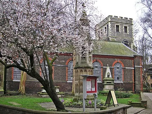 St Mary Magdalene Attraction, Richmond upon Thames0.4 km NE
-
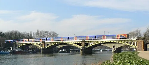 Richmond Railway Bridge Landmark, Richmond upon Thames0.5 km NW
-
 Twickenham Bridge Landmark, Richmond upon Thames0.6 km NW
-
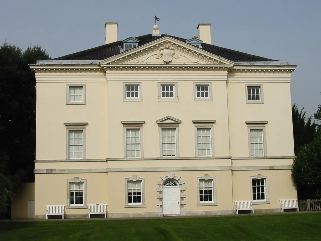 Marble Hill House Museum, Richmond upon Thames1 km SW
-
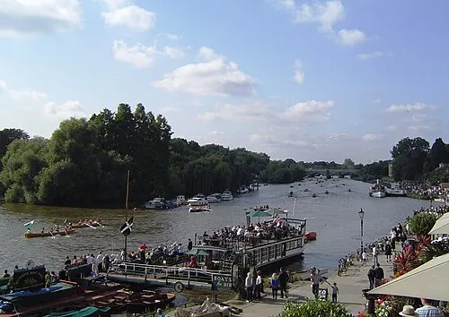 Corporation Island Island, Richmond upon Thames0.2 km NW
-
Richmond Palace Gatehouse Historic site, Richmond upon Thames0.5 km N
-
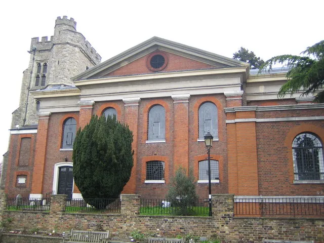 St Mary's Church Attraction, Richmond upon Thames1.7 km SW
-
Athletic Ground Landmark, Richmond upon Thames1.1 km N
Nearest towns and villages
-
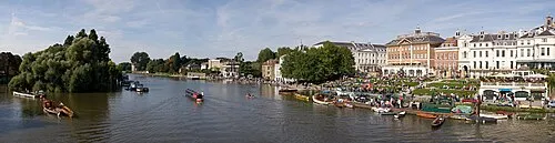 Richmond Town, Richmond upon Thames0.5 km N
-
 Twickenham Village, Richmond upon Thames2.5 km SW
-
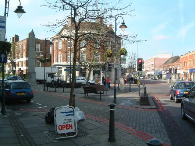 East Sheen Town, Richmond upon Thames2.8 km E
-
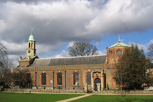 Kew Town, Richmond upon Thames3 km NE
More sights in Richmond upon Thames
-
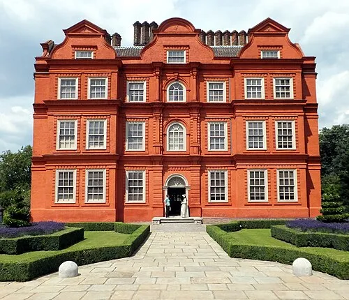 Kew Palace Historic site, Richmond upon Thames3.1 km N
-
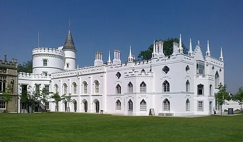 Strawberry Hill House Museum, Richmond upon Thames2.9 km SW
-
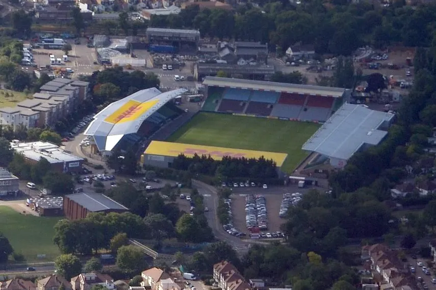 The Stoop Landmark, Richmond upon Thames2.7 km W
-
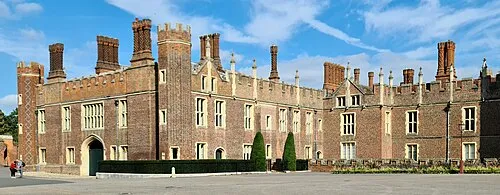 Hampton Court Palace Historic site, Richmond upon Thames6.4 km S
-
Petersham Parish Church Attraction, Richmond upon Thames1.3 km S
-
King's Observatory Attraction, Richmond upon Thames1.3 km NW
Sources & licences
Data last updated: · 2 independent sources