North West Leicestershire
Located in Leicestershire, England Coordinates: 52°43′56″ N 1°25′54″ W
- Population
- 98,644
- 98.6K
- Elevation
- 139 m
- above sea level
- Local time
- UTC+00:00
- Europe/London · UTC+00:00
- Places inside
- 39
- listed under North West Leicestershire
- Airports
- EMA East Midlands Airport13 km
- BHX Birmingham Airport38 km
About North West Leicestershire
North West Leicestershire is a municipality. Location: Leicestershire, England. Population: 98,644. Elevation: 139 m. The best months to visit are June–August. The nearest airport is East Midlands Airport (13 km). Nearby sights include Pistern Hill and Melbourne Castle.
Climate of North West Leicestershire
Best months for sightseeingBest months for sightseeing: June–August.
This month · November
A cold month
Day 9° · Night 3° · Rain 67 mm
- Hottest month
- July (day 20°)
- Coldest month
- February (night 0°)
- Wettest month
- December (68 mm)
- Driest month
- February (47 mm)
Bars: average monthly low and high temperature. Below: precipitation. Monthly averages for 1970–2000 at about 18 km resolution, adjusted for elevation. Highlighted months are mild and relatively dry. Source: WorldClim 2.1 (CC BY 4.0).
Show values as a table
| Month | Jan | Feb | Mar | Apr | May | Jun | Jul | Aug | Sep | Oct | Nov | Dec |
|---|---|---|---|---|---|---|---|---|---|---|---|---|
| Average high (°C) | 7° | 7° | 9° | 12° | 15° | 18° | 20° | 20° | 17° | 13° | 9° | 7° |
| Average low (°C) | 1° | 0° | 2° | 3° | 6° | 9° | 11° | 11° | 9° | 6° | 3° | 1° |
| Precipitation (mm) | 64 | 47 | 53 | 51 | 53 | 58 | 51 | 63 | 63 | 64 | 67 | 68 |
How to get to North West Leicestershire
The nearest airport is East Midlands Airport (EMA), 13 km to the northeast as the crow flies. The nearest large city is Burton-on-Trent, 17 km to the northwest.
Airports
- East Midlands Airport (EMA) Nottingham, Leicestershire 13 kmnortheast
- Birmingham Airport (BHX) Birmingham, West Midlands 38 kmsouthwest
- Manchester Airport (MAN) Manchester, Greater Manchester 89 kmnorthwest
Nearby large cities
- Burton-on-Trent Population: 122.2K 17 kmnorthwest
- Derby Population: 270.5K 21 kmnorth
- Leicester Population: 368.6K 23 kmsoutheast
- Nottingham Population: 323.6K 31 kmnortheast
- Sutton Coldfield Population: 109.9K 32 kmsouthwest
Straight-line distances; road distances are longer. Airport data: OurAirports.
Day trips from North West Leicestershire
Within 100 km: 665 historic and cultural sites, 775 natural sites, 123 lakes, rivers and coasts.
0–25 km87 places
- Horninglow island Island 15 kmNW
- Barton Island Island 23 kmNE
- Brown's Island Island 20 kmW
- Holme Nook Island 24 kmN
25–60 km461 places
- Newark Island Island 56 kmNE
- Crescent Wood Island Island 37 kmSW
- The Islands Island 32 kmSE
- Brown's Island Island 51 kmE
60–100 km1,015 places
- Saint George's Island Island 99 kmNW
- Park Island Island 79 kmE
- Glover's Island Island 79 kmSW
- Don Island Island 77 kmN
Straight-line distances.
North West Leicestershire and similar cities
Side by side with cities of similar size in the same country: population, elevation and climate.
| Measure | North West Leicestershire | Rochdale | Gillingham | Bath |
|---|---|---|---|---|
| Population | 98.6K | 97.6K | 101.2K | 101.6K |
| Elevation | 139 m | 127 m | 31 m | 96 m |
| Summer day (hottest month) | 20° | 20° | 22° | 21° |
| Winter night (coldest month) | 0° | 2° | 2° | 2° |
| Annual rainfall | 702 mm | 1,134 mm | 590 mm | 835 mm |
| Best months | Jun–Aug | Jun–Aug | Jun–Aug | Jun–Aug |
| Distance | — | 110 km | 202 km | 164 km |
Climate values are 1970–2000 monthly averages; straight-line distance.
Places in North West Leicestershire
39 placesBar: population relative to the most populous place in this list.
Cities & villages36
- Agar Nook · Neighbourhood
- Appleby Magna · Village
- Ashby-de-la-Zouch · Village
- Ashby Woulds · Village
- Bardon · Village
- Belton · Village
- Breedon on the Hill · Village
- Castle Donington · Village
- Charley · Village
- Chilcote · Village
- Coleorton · Village
- Ellistown and Battleflat · Village
- Greenhill · Neighbourhood
- Heather · Village
- Hugglescote · Village
- Ibstock · Village
- Isley cum Langley · Village
- Kegworth · Village
- Lockington-Hemington · Village
- Long Whatton and Diseworth · Village
- Measham · Village
- New Swannington · Neighbourhood
- Normanton Le Heath · Village
- Oakthorpe and Donisthorpe · Village
- Osgathorpe · Village
- Packington · Village
- Ravenstone with Snibstone · Village
- Snarestone · Village
- Staunton Harold · Village
- Stretton en le Field · Village
- Swannington · Village
- Swannington · Village
- Swepstone · Village
- Thringstone · Village
- Whitwick · Village
- Worthington · Village
Heritage & sights1
- Whitwick Castle · Historic site
Nearby attractions & nature
Everything nearby-
Pistern Hill Mountain, Smisby6.4 km NW
-
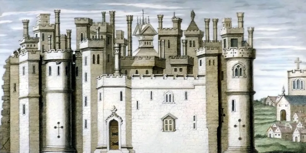 Melbourne Castle Historic site, Melbourne10 km N
-
Shackerstone Motte Historic site, Shackerstone8.3 km S
-
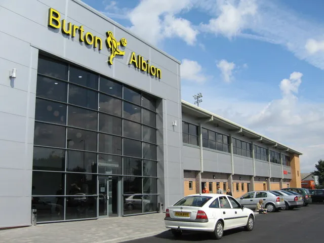 Pirelli Stadium Landmark, Horninglow and Eton17 km NW
-
Ives Head Mountain, Shepshed9.5 km E
-
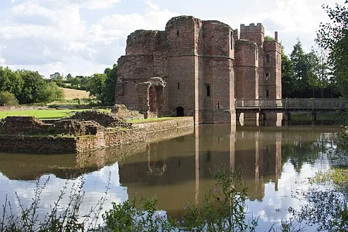 Kirby Muxloe Castle Historic site, Kirby Muxloe17 km SE
-
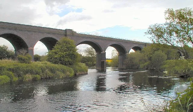 Stanford Viaduct Landmark, Stanford on Soar17 km E
-
South Hill Mountain, Twycross11 km SW
Other cities and towns in Leicestershire
-
Hinckley and Bosworth District Municipality, Leicestershire14 km S
-
Ashby-de-la-Zouch Town, Ashby-de-la-Zouch3.2 km NW
-
Charnwood District Municipality, Leicestershire20 km E
-
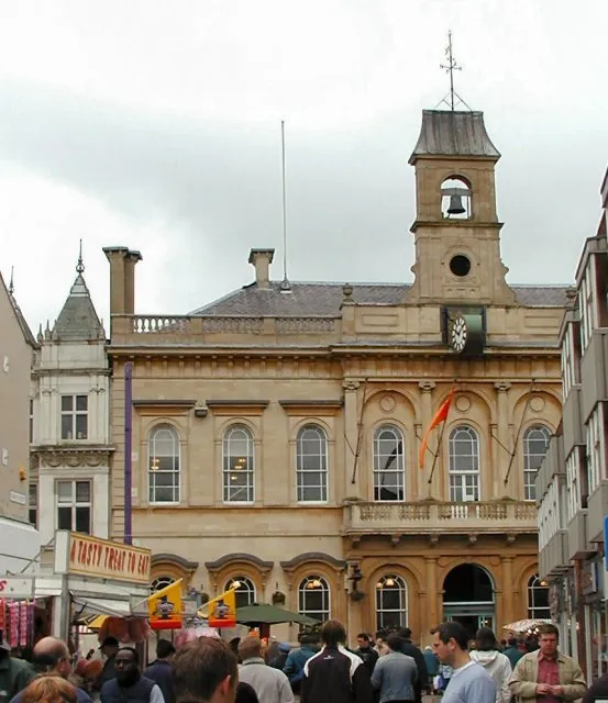 Loughborough Town, Charnwood District16 km E
-
Ibstock Town, Ibstock5.6 km SE
-
Measham Town, Measham5.8 km SW
Sources & licences
Data last updated: