Sand Hutton
Located in Ryedale District, North Yorkshire Coordinates: 54°01′08″ N 0°56′31″ W
- Elevation
- 29 m
- above sea level
- Local time
- UTC+00:00
- Europe/London · UTC+00:00
- Places inside
- 1
- listed under Sand Hutton
- Airports
- LBA Leeds Bradford Airport50 km
- HUY Humberside Airport63 km
About Sand Hutton
Sand Hutton is a village. Location: Ryedale District, North Yorkshire. Elevation: 29 m. The best months to visit are June–September. The nearest airport is Leeds Bradford Airport (50 km). Nearby sights include Stockton on the Forest Castle Hill and Buttercrambe.
Climate of Sand Hutton
Best months for sightseeingBest months for sightseeing: June–September.
This month · November
A cold month
Day 9° · Night 3° · Rain 58 mm
- Hottest month
- July (day 20°)
- Coldest month
- January (night 1°)
- Wettest month
- December (62 mm)
- Driest month
- February (40 mm)
Bars: average monthly low and high temperature. Below: precipitation. Monthly averages for 1970–2000 at about 18 km resolution, adjusted for elevation. Highlighted months are mild and relatively dry. Source: WorldClim 2.1 (CC BY 4.0).
Show values as a table
| Month | Jan | Feb | Mar | Apr | May | Jun | Jul | Aug | Sep | Oct | Nov | Dec |
|---|---|---|---|---|---|---|---|---|---|---|---|---|
| Average high (°C) | 6° | 7° | 9° | 11° | 15° | 18° | 20° | 20° | 17° | 13° | 9° | 7° |
| Average low (°C) | 1° | 1° | 2° | 4° | 6° | 9° | 11° | 11° | 9° | 6° | 3° | 2° |
| Precipitation (mm) | 59 | 40 | 51 | 45 | 47 | 56 | 50 | 57 | 54 | 58 | 58 | 62 |
Other places to visit in this season: June July August September
How to get to Sand Hutton
The nearest airport is Leeds Bradford Airport (LBA), 50 km to the west as the crow flies. The nearest large city is York, 11 km to the southwest.
Airports
- Leeds Bradford Airport (LBA) Leeds, West Yorkshire 50 kmwest
- Humberside Airport (HUY) Grimsby, Lincolnshire 63 kmsoutheast
- Teesside International Airport (MME) Darlington, Durham 63 kmnorthwest
Nearby large cities
- York Population: 156.1K 11 kmsouthwest
- Leeds Population: 536.3K 47 kmsouthwest
- Hull Population: 314K 50 kmsoutheast
- Wakefield Population: 109.8K 52 kmsouthwest
- Doncaster Population: 113.6K 57 kmsouth
Straight-line distances; road distances are longer. Airport data: OurAirports.
Day trips from Sand Hutton
Within 100 km: 429 historic and cultural sites, 646 natural sites, 135 lakes, rivers and coasts.
0–25 km81 places
- The Island Island 11 kmS
- Bank Island Island 14 kmS
- The Island Island 20 kmW
- Cherry Islands Island 12 kmNE
25–60 km420 places
- Whitby Beach Beach 57 kmN
- North Beach Beach 51 kmE
- Fraisethorpe Beach Beach 48 kmE
- The Island Island 53 kmNW
60–100 km709 places
- Great Britain Island 69 kmW
- Seaton Carew Beach Beach 73 kmN
- Redcar Beach Beach 68 kmN
- Sunk Island Island 71 kmSE
Straight-line distances.
Places in Sand Hutton
1 placeCities & villages1
- Sand Hutton · Village
Nearby attractions & nature
Everything nearby-
Stockton on the Forest Castle Hill Historic site, Stockton-on-the-Forest3.7 km W
-
Buttercrambe Historic site, Buttercrambe with Bossall3.9 km E
-
Skirpenbeck Motte Historic site, Skirpenbeck4.3 km E
-
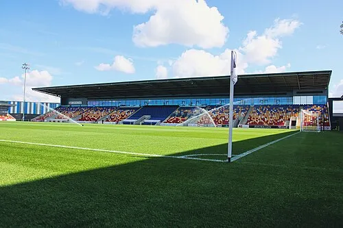 York Community Stadium Landmark, Huntington8.2 km SW
-
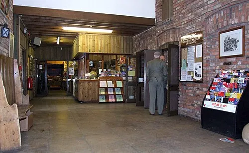 Yorkshire Museum of Farming Museum, Murton7.9 km SW
-
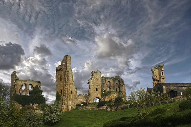 Sheriff Hutton Castle Historic site, Sheriff Hutton8.7 km NW
Sources & licences
Data last updated: