Wakefield
Located in England, United Kingdom Coordinates: 53°40′51″ N 1°29′56″ W
- Population
- 367,666
- 367.7K
- Elevation
- 42 m
- above sea level
- Local time
- UTC+00:00
- Europe/London · UTC+00:00
- Places inside
- 134
- listed under Wakefield
About Wakefield
Wakefield is a district. Location: England, United Kingdom. Population: 367,666.
In comparison
- 19 sights and natural places within 10 km Chantry Chapel, Stennard Island
- Listed here: Neighbourhood: 67, Municipality: 30, Village: 13, Town: 5
Places in Wakefield
134 places-
Low Common Neighbourhood
-
Lupset Village
-
Marl Pits Neighbourhood
-
Methley Lanes Village
-
Milnthorpe Neighbourhood
-
Monkhill Neighbourhood
-
New Brighton Neighbourhood
-
New Fryston Neighbourhood
-
Newland with Woodhouse Moor Municipality
-
New Scarborough Neighbourhood
-
Newton Hill Village
-
New Town Neighbourhood
-
Normanton Municipality
-
North Elmsall Municipality
-
Notton Municipality
-
Ossett Spa Neighbourhood
-
Ossett Street Side Neighbourhood
-
Outwood Village
-
Paleside Neighbourhood
-
Park Hill Neighbourhood
-
Patrick Green Neighbourhood
-
Peacock Village
-
Pinders Fields Neighbourhood
-
Pledwick Neighbourhood
-
Pontefract Castle Historic site
-
Portobello Neighbourhood
-
Primrose Hill Neighbourhood
-
Prince of Wales Colliery Tip Mountain
-
Pugneys Country Park Natural site
-
Red Hill Mountain
-
River Calder River
-
Round Hill Neighbourhood
-
Runtlings Neighbourhood
-
Ryhill Municipality
-
Sandal Castle Historic site
-
Sandal Magna Neighbourhood
-
Sharlston Municipality
-
Shepherd Hill Neighbourhood
-
Sitlington Municipality
-
Snow Hill Neighbourhood
-
South Elmsall Municipality
-
South Hiendley Municipality
-
South Kirkby and Moorthorpe Municipality
-
South Ossett Neighbourhood
-
Spring End Neighbourhood
-
Stand Bridge Neighbourhood
-
Stanley Village
-
Stanley Methodist Church Attraction
-
Stennard Island Island
-
St Johns Neighbourhood
-
St. Peter's Church Attraction
-
Thornes Neighbourhood
-
Thorpe Audlin Municipality
-
Town End Neighbourhood
-
Townville Neighbourhood
-
Upton Municipality
-
Wakefield Lowe Hill Historic site
-
Walton Municipality
-
Warmfield cum Heath Municipality
-
West Bretton Municipality
Nature and heritage in Wakefield
-
Beacon Hill Mountain, Woolley
-
Upton Beacon Mountain, Upton
-
Chevet Park Mountain, Chevet
Nearby attractions & nature
Everything nearby-
Christ Church Attraction, Leeds5.3 km N
-
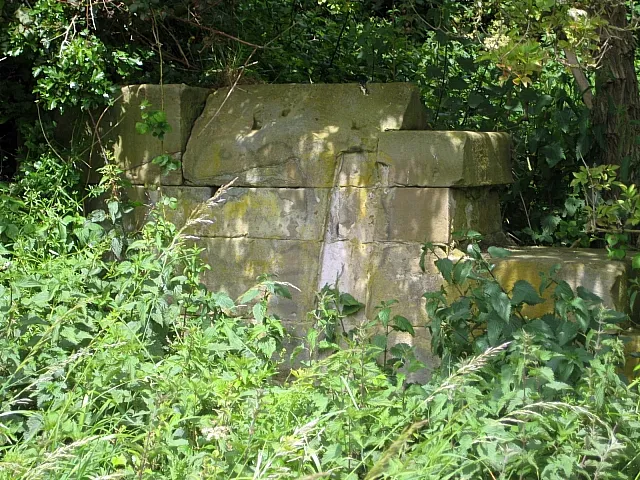 Rothwell Castle Historic site, Leeds7.7 km N
-
Springhead Park Natural site, England7.8 km N
-
 Elland Road Landmark, Morley12 km NW
-
Morley Mediumwave Transmitter Landmark, Morley7.9 km NW
-
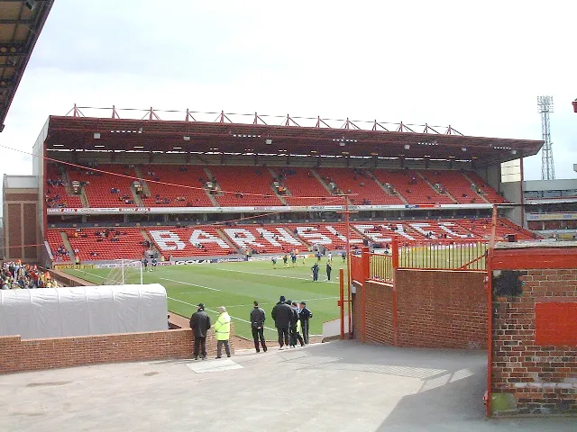 Oakwell Landmark, Stainborough14 km S
Sources & licences
Data last updated: