Warwick District
Located in Warwickshire, England Coordinates: 52°18′04″ N 1°35′30″ W
- Population
- 140,411
- 140.4K
- Elevation
- 76 m
- above sea level
- Local time
- UTC+00:00
- Europe/London · UTC+00:00
- Places inside
- 32
- listed under Warwick District
About Warwick District
Warwick District is a municipality. Location: Warwickshire, England. Population: 140,411. Elevation: 76 m.
In comparison
- Most populous of 5 places in Warwickshire
- Nearest larger town: Coventry, 13 km NE
- 14 sights and natural places within 10 km St Johns, Warwick Castle
- Listed here: Village: 31, City: 1
Places in Warwick District
32 places-
Warwick City37.3K
-
Budbrooke Village1.9K
-
Ashow Village
-
Baddesley Clinton Village
-
Baginton Village
-
Barford Village
-
Bishop's Tachbrook Village
-
Blackdown Village
-
Bubbenhall Village
-
Bushwood Village
-
Cubbington Village
-
Eathorpe Village
-
Hatton Village
-
Hunningham Village
-
Kenilworth Village
-
Lapworth Village
-
Leek Wootton and Guy's Cliffe Village
-
Norton Lindsey Village
-
Offchurch Village
-
Old Milverton Village
-
Radford Semele Village
-
Rowington Village
-
Royal Leamington Spa Village
-
Sherbourne Village
-
Shrewley Village
-
Stoneleigh Village
-
Wappenbury Village
-
Warwick Village
-
Wasperton Village
-
Weston under Wetherley Village
-
Whitnash Village
Nearby attractions & nature
Everything nearby-
River Leam River, England3.5 km SE
-
Fulbrook Castle Historic site, Fulbrook6.9 km SW
-
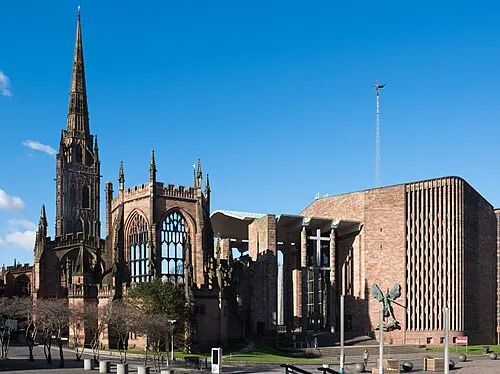 Coventry Cathedral Attraction, Coventry13 km NE
-
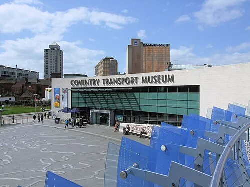 Coventry Transport Museum Museum, Coventry13 km NE
-
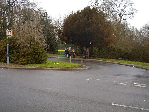 Allesley Ringwork Historic site, Coventry13 km N
-
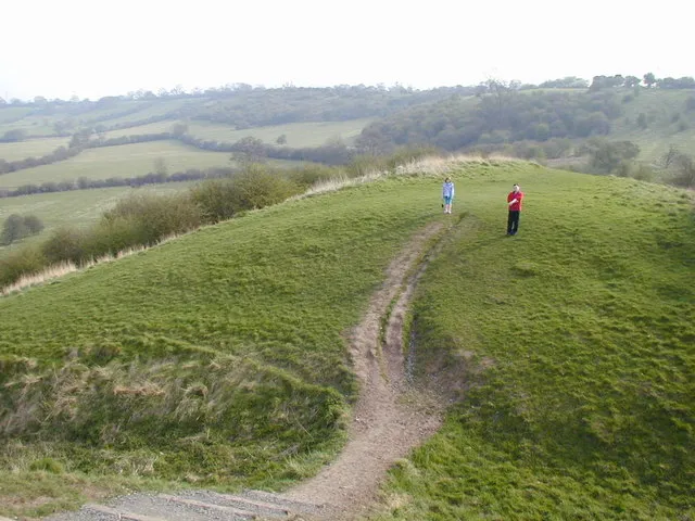 Beaudesert Castle Historic site, Beaudesert12 km W
-
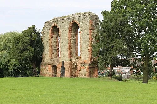 Caludon Castle Historic site, Coventry16 km NE
-
Ashorne Hill Mountain, Newbold Pacey9.4 km S
Other cities and towns in Warwickshire
-
Stratford-on-Avon District Municipality, Warwickshire16 km S
-
Royal Leamington Spa Town, Royal Leamington Spa5.2 km E
-
Kenilworth Town, Kenilworth5.4 km N
-
Rugby District Municipality, Warwickshire21 km NE
-
Nuneaton and Bedworth District Municipality, Warwickshire24 km N
-
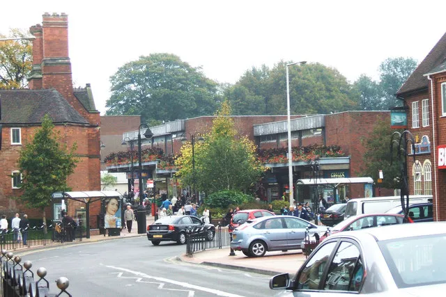 Bedworth Town, Nuneaton and Bedworth District21 km NE
Sources & licences
Data last updated: