Stratford-on-Avon District
Located in Warwickshire, England Coordinates: 52°09′41″ N 1°35′43″ W
- Population
- 122,276
- 122.3K
- Elevation
- 72 m
- above sea level
- Local time
- UTC+00:00
- Europe/London · UTC+00:00
- Places inside
- 114
- listed under Stratford-on-Avon District
- Airports
- BHX Birmingham Airport34 km
- EMA East Midlands Airport77 km
About Stratford-on-Avon District
Stratford-on-Avon District is a municipality. Location: Warwickshire, England. Population: 122,276. Elevation: 72 m. The best months to visit are June–August. The nearest airport is Birmingham Airport (34 km). Nearby sights include Warwick Castle and Hidcote Manor Garden.
Photos of Stratford-on-Avon District
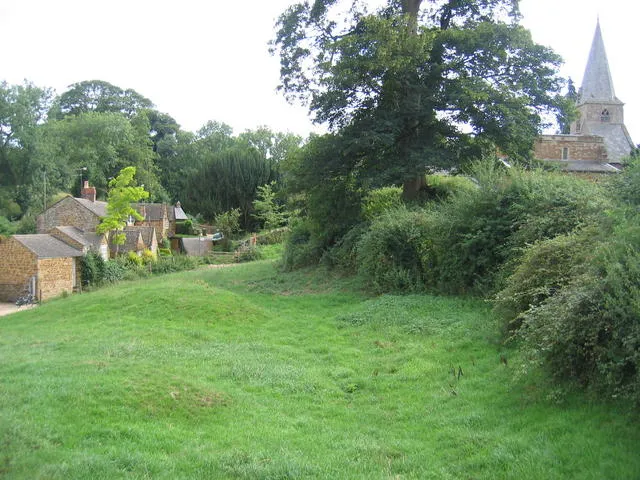
-
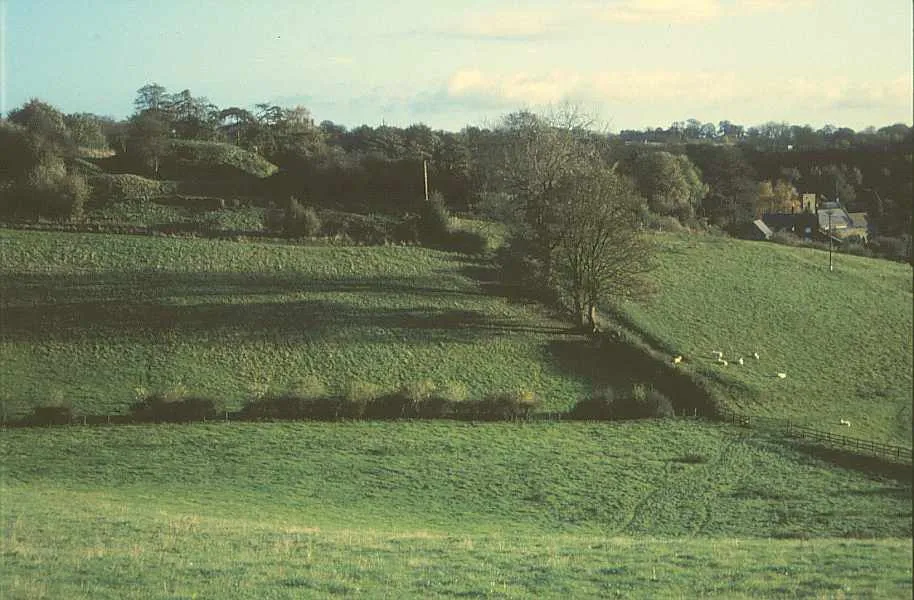
Ratley Motte Derek Harper · CC BY-SA 2.0 -
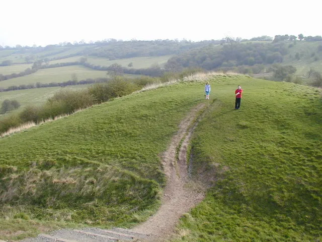
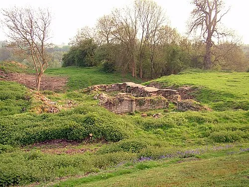
Beaudesert Castle Chris Gunns · CC BY-SA 2.0


Climate of Stratford-on-Avon District
Best months for sightseeingBest months for sightseeing: June–August.
This month · November
A cold month
Day 10° · Night 4° · Rain 60 mm
- Hottest month
- July (day 22°)
- Coldest month
- February (night 1°)
- Wettest month
- December (64 mm)
- Driest month
- February (44 mm)
Bars: average monthly low and high temperature. Below: precipitation. Monthly averages for 1970–2000 at about 18 km resolution, adjusted for elevation. Highlighted months are mild and relatively dry. Source: WorldClim 2.1 (CC BY 4.0).
Show values as a table
| Month | Jan | Feb | Mar | Apr | May | Jun | Jul | Aug | Sep | Oct | Nov | Dec |
|---|---|---|---|---|---|---|---|---|---|---|---|---|
| Average high (°C) | 7° | 7° | 10° | 12° | 16° | 19° | 22° | 22° | 18° | 14° | 10° | 8° |
| Average low (°C) | 1° | 1° | 2° | 3° | 6° | 9° | 11° | 11° | 9° | 7° | 4° | 2° |
| Precipitation (mm) | 62 | 44 | 52 | 47 | 52 | 57 | 47 | 59 | 60 | 58 | 60 | 64 |
How to get to Stratford-on-Avon District
The nearest airport is Birmingham Airport (BHX), 34 km to the north as the crow flies. The nearest large city is Coventry, 28 km to the north.
Airports
- Birmingham Airport (BHX) Birmingham, West Midlands 34 kmnorth
- East Midlands Airport (EMA) Nottingham, Leicestershire 77 kmnorth
- London Luton Airport (LTN) Luton, Luton 90 kmeast
Nearby large cities
- Coventry Population: 345.3K 28 kmnorth
- Solihull Population: 126.6K 31 kmnorthwest
- Birmingham Population: 1.2M 41 kmnorthwest
- Worcester Population: 101.7K 43 kmwest
- Cheltenham Population: 118.8K 44 kmsouthwest
Straight-line distances; road distances are longer. Airport data: OurAirports.
Day trips from Stratford-on-Avon District
Within 100 km: 826 historic and cultural sites, 836 natural sites, 164 lakes, rivers and coasts.
0–25 km82 places
- Lake Lake 21 kmN
- Edge Hill Mountain 10 kmSE
- Seven Wells Hill Mountain 23 kmSW
- Ebrington Hill Mountain 13 kmSW
25–60 km478 places
- Alney Island Island 56 kmSW
- Andersey Island Island 59 kmS
- Rose Isle Island 55 kmSE
- Lock Wood Island Island 60 kmSE
60–100 km1,266 places
- The Lynch Island 89 kmSE
- Windsor Racecourse Island Island 99 kmSE
- Wargrave Island Island 88 kmSE
- Loddon Island Island 92 kmSE
Straight-line distances.
Stratford-on-Avon District and similar cities
Side by side with cities of similar size in the same country: population, elevation and climate.
| Measure | Stratford-on-Avon District | Burton-on-Trent | Crawley | Saint Peters |
|---|---|---|---|---|
| Population | 122.3K | 122.2K | 124K | 125.4K |
| Elevation | 72 m | 49 m | 84 m | 43 m |
| Summer day (hottest month) | 22° | 21° | 22° | 21° |
| Winter night (coldest month) | 1° | 1° | 1° | 2° |
| Annual rainfall | 662 mm | 678 mm | 755 mm | 544 mm |
| Best months | Jun–Aug | Jun–Aug | Jun–Aug | Jun–Aug |
| Distance | — | 72 km | 152 km | 226 km |
Climate values are 1970–2000 monthly averages; straight-line distance.
Places in Stratford-on-Avon District
114 placesBar: population relative to the most populous place in this list.
Cities & villages59
- Admington · Village
- Alcester · Village
- Alderminster · Village
- Arrow with Weethley · Village
- Aston Cantlow · Village
- Atherstone on Stour · Village
- Avon Dassett · Village
- Barcheston · Village
- Barton-on-the-Heath · Village
- Bearley · Village
- Beaudesert · Village
- Bidford-on-Avon · Village
- Billesley · Village
- Binton · Village
- Bishop's Itchington · Village
- Brailes · Village
- Burmington · Village
- Burton Dassett · Village
- Butlers Marston · Village
- Chadshunt · Village
- Chapel Ascote · Village
- Charlecote · Village
- Cherington · Village
- Chesterton and Kingston · Village
- Claverdon · Village
- Clifford Chambers and Milcote · Village
- Combrook · Village
- Compton Verney · Village
- Compton Wynyates · Village
- Coughton · Village
- Dorsington · Village
- Ettington · Village
- Exhall · Village
- Farnborough · Village
- Fenny Compton · Village
- Fulbrook · Village
- Gaydon · Village
- Great Alne · Village
- Great Wolford · Village
- Halford · Village
- Hampton Lucy · Village
- Harbury · Village
- Haselor · Village
- Henley-in-Arden · Village
- Hodnell and Wills Pastures · Village
- Honington · Village
- Idlicote · Village
- Ilmington · Village
- Kineton · Village
- Kinwarton · Village
- Ladbroke · Village
- Langley · Village
- Lighthorne · Village
- Lighthorne Heath · Village
- Little Compton · Village
- Long Compton · Village
- Long Itchington · Village
- Long Marston · Village
- Loxley · Village
Nearby attractions & nature
Everything nearby-
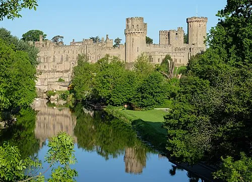 Warwick Castle Historic site, Warwick13 km N
-
Hidcote Manor Garden Attraction, Ebrington13 km SW
-
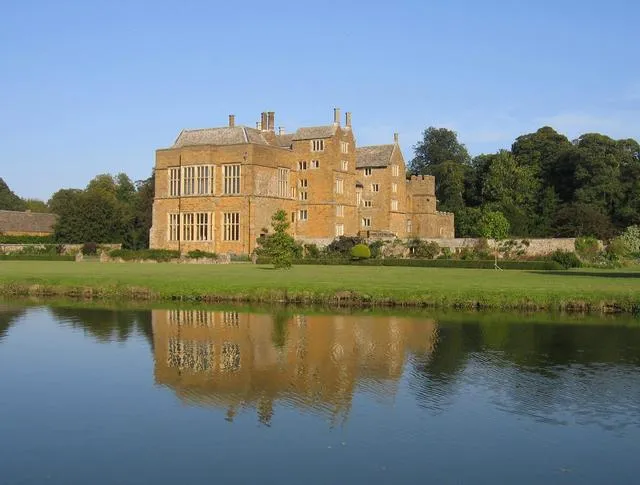 Broughton Castle Historic site, Broughton19 km SE
-
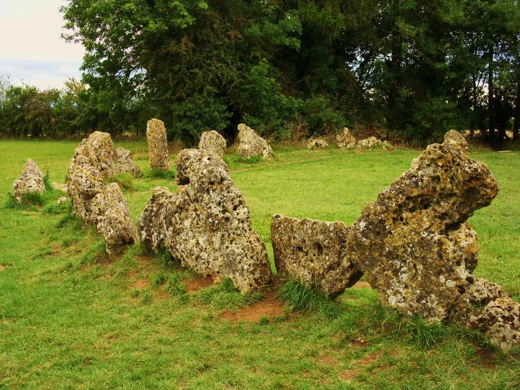 Rollright Stones Historic site, Rollright21 km S
-
 Swerford Castle Historic site, Swerford23 km SE
-
Shenlow Hill Mountain, Shenington with Alkerton12 km SE
-
 Baginton Castle Historic site, Baginton24 km N
-
Epwell Hill Mountain, Epwell12 km SE
Sources & licences
Data last updated: