- Population
- 103,815
- 103.8K
- Elevation
- 84 m
- above sea level
- Local time
- UTC+00:00
- Europe/London · UTC+00:00
- Places inside
- 50
- listed under Rugby District
- Airports
- BHX Birmingham Airport30 km
- EMA East Midlands Airport49 km
About Rugby District
Rugby District is a municipality. Location: Warwickshire, England. Population: 103,815. Elevation: 84 m. The best months to visit are June–August. The nearest airport is Birmingham Airport (30 km). Nearby sights include Caludon Castle and Coventry Cathedral.
Climate of Rugby District
Best months for sightseeingBest months for sightseeing: June–August.
This month · November
A cold month
Day 10° · Night 3° · Rain 60 mm
- Hottest month
- July (day 22°)
- Coldest month
- February (night 1°)
- Wettest month
- December (62 mm)
- Driest month
- February (44 mm)
Bars: average monthly low and high temperature. Below: precipitation. Monthly averages for 1970–2000 at about 18 km resolution, adjusted for elevation. Highlighted months are mild and relatively dry. Source: WorldClim 2.1 (CC BY 4.0).
Show values as a table
| Month | Jan | Feb | Mar | Apr | May | Jun | Jul | Aug | Sep | Oct | Nov | Dec |
|---|---|---|---|---|---|---|---|---|---|---|---|---|
| Average high (°C) | 7° | 7° | 10° | 12° | 16° | 19° | 22° | 21° | 18° | 14° | 10° | 8° |
| Average low (°C) | 1° | 1° | 2° | 3° | 6° | 9° | 11° | 11° | 9° | 6° | 3° | 2° |
| Precipitation (mm) | 59 | 44 | 50 | 47 | 50 | 56 | 49 | 59 | 58 | 57 | 60 | 62 |
How to get to Rugby District
The nearest airport is Birmingham Airport (BHX), 30 km to the west as the crow flies. The nearest large city is Coventry, 13 km to the west.
Airports
- Birmingham Airport (BHX) Birmingham, West Midlands 30 kmwest
- East Midlands Airport (EMA) Nottingham, Leicestershire 49 kmnorth
- London Luton Airport (LTN) Luton, Luton 87 kmsoutheast
Nearby large cities
- Coventry Population: 345.3K 13 kmwest
- Leicester Population: 368.6K 30 kmnortheast
- Solihull Population: 126.6K 32 kmwest
- Northampton Population: 245.9K 34 kmsoutheast
- Sutton Coldfield Population: 109.9K 39 kmnorthwest
Straight-line distances; road distances are longer. Airport data: OurAirports.
Places in Rugby District
50 placesBar: population relative to the most populous place in this list.
Cities & villages47
- Ansty · Village
- Bilton · Village
- Binley Woods · Village
- Birdingbury · Village
- Bourton and Draycote · Village
- Brandon and Bretford · Village
- Brinklow · Village
- Brownsover · Neighbourhood
- Burton Hastings · Village
- Cawston · Village
- Church Lawford · Village
- Churchover · Village
- Clifton upon Dunsmore · Village
- Combe Fields · Village
- Copston Magna · Village
- Cosford · Village
- Dunchurch · Village
- Easenhall · Village
- Frankton · Village
- Grandborough · Village
- Harborough Magna · Village
- Hillmorton · Neighbourhood
- King's Newnham · Village
- Leamington Hastings · Village
- Little Lawford · Village
- Long Lawford · Village
- Marton · Village
- Monks Kirby · Village
- New Bilton · Village
- Newbold on Avon · Village
- Newton and Biggin · Village
- Overslade · Neighbourhood
- Pailton · Village
- Princethorpe · Village
- Ryton-on-Dunsmore · Village
- Shilton · Village
- Stretton Baskerville · Village
- Stretton-on-Dunsmore · Village
- Stretton under Fosse · Village
- Thurlaston · Village
- Wibtoft · Village
- Willey · Village
- Willoughby · Village
- Withybrook · Village
- Wolfhampcote · Village
- Wolston · Village
- Wolvey · Village
Heritage & sights2
- Brownsover · Historic site
- Rugby Castle · Historic site
Nearby attractions & nature
Everything nearby-
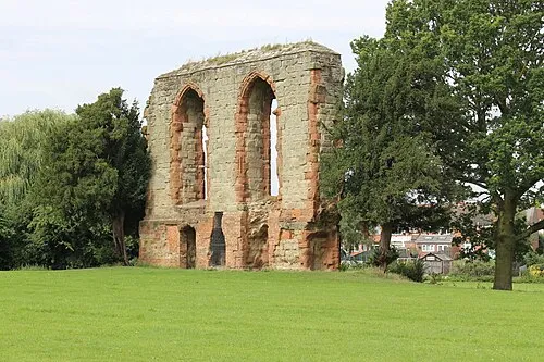 Caludon Castle Historic site, Coventry9.6 km W
-
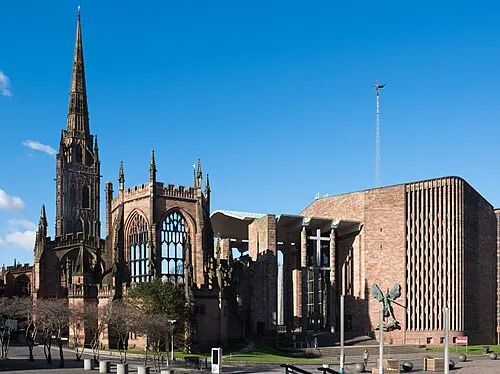 Coventry Cathedral Attraction, Coventry13 km W
-
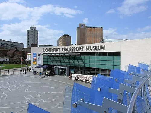 Coventry Transport Museum Museum, Coventry13 km W
-
Shawell Historic site, Shawell7.8 km E
-
Lilbourne Castle Historic site, Lilbourne9.5 km E
-
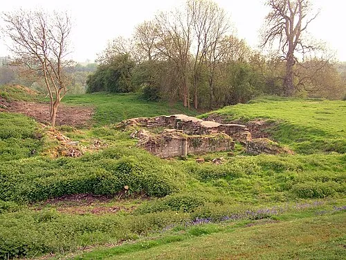 Baginton Castle Historic site, Baginton13 km W
-
Magna Park Natural site, Bitteswell9 km NE
-
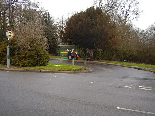 Allesley Ringwork Historic site, Coventry17 km W
Other cities and towns in Warwickshire
-
Nuneaton and Bedworth District Municipality, Warwickshire16 km NW
-
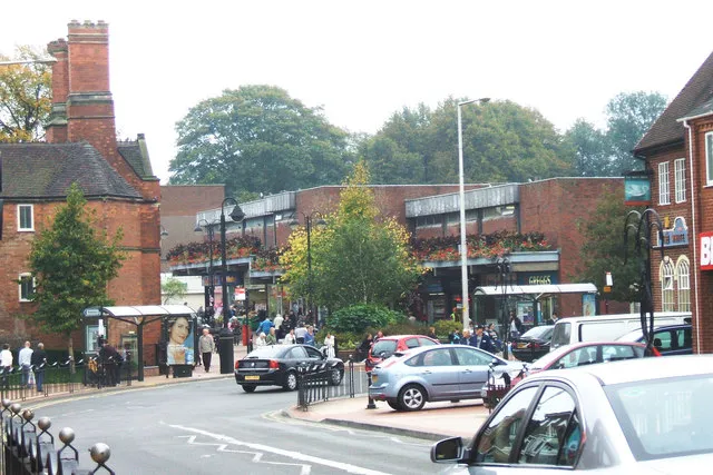 Bedworth Town, Nuneaton and Bedworth District14 km NW
-
Warwick District Municipality, Warwickshire21 km SW
-
Brandon Town, Brandon and Bretford5.7 km W
-
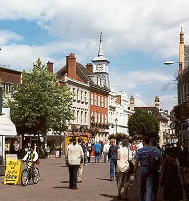 Nuneaton Town, Nuneaton and Bedworth District18 km NW
-
North Warwickshire District Municipality, Warwickshire28 km NW
Sources & licences
Data last updated: