Warwick Castle
Located in Warwick, Warwick District Coordinates: 52°16′47″ N 1°35′06″ W
- Local time
- UTC+00:00
- Europe/London · UTC+00:00
- Elevation
- 66 m
- above sea level
- Airports
- BHX Birmingham Airport22 km
- EMA East Midlands Airport64 km
About Warwick Castle
Warwick Castle is a historic site. Location: Warwick, Warwick District.
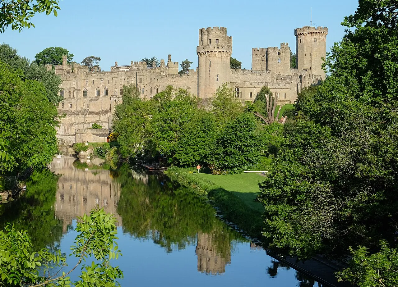
Warwick Castle is a medieval castle developed from a wooden fort originally built by William the Conqueror during 1068. The original wooden motte-and-bailey castle overlooking the River Avon was rebuilt in stone during the 12th century. During the Hundred Years War, the facade opposite the town was refortified, resulting in one of the most recognisable examples of 14th-century military architecture.
Source: Wikipedia · CC BY-SA 4.0
At a glance
- Built
- 1068
- Architectural style
- medieval architecture
- Heritage designation
- Grade I listed building, scheduled monument, Grade I listed park and garden
- Official website
- warwick-castle.com
Source: Wikidata
Climate of Warwick Castle
Best months for sightseeingBest months for sightseeing: June–August.
This month · November
A cold month
Day 10° · Night 3° · Rain 55 mm
- Hottest month
- July (day 22°)
- Coldest month
- February (night 1°)
- Wettest month
- December (58 mm)
- Driest month
- February (41 mm)
Bars: average monthly low and high temperature. Below: precipitation. Monthly averages for 1970–2000 at about 18 km resolution, adjusted for elevation. Highlighted months are mild and relatively dry. Source: WorldClim 2.1 (CC BY 4.0).
Show values as a table
| Month | Jan | Feb | Mar | Apr | May | Jun | Jul | Aug | Sep | Oct | Nov | Dec |
|---|---|---|---|---|---|---|---|---|---|---|---|---|
| Average high (°C) | 7° | 7° | 10° | 12° | 16° | 19° | 22° | 22° | 18° | 14° | 10° | 8° |
| Average low (°C) | 1° | 1° | 2° | 3° | 6° | 9° | 11° | 11° | 9° | 6° | 3° | 2° |
| Precipitation (mm) | 57 | 41 | 47 | 44 | 48 | 55 | 46 | 57 | 56 | 53 | 55 | 58 |
How to get to Warwick Castle
The nearest airport is Birmingham Airport (BHX), 22 km to the northwest as the crow flies. The nearest large city is Coventry, 15 km to the north.
Airports
- Birmingham Airport (BHX) Birmingham, West Midlands 22 kmnorthwest
- East Midlands Airport (EMA) Nottingham, Leicestershire 64 kmnorth
- London Luton Airport (LTN) Luton, Luton 95 kmsoutheast
Nearby large cities
- Coventry Population: 345.3K 15 kmnorth
- Solihull Population: 126.6K 20 kmnorthwest
- Birmingham Population: 1.2M 31 kmnorthwest
- Sutton Coldfield Population: 109.9K 36 kmnorthwest
- West Bromwich Population: 103.1K 39 kmnorthwest
Straight-line distances; road distances are longer. Airport data: OurAirports.
Nearby attractions & nature
Everything nearby-
St Johns Museum, Warwick0.5 km NE
-
Fulbrook Castle Historic site, Fulbrook5.1 km SW
-
River Leam River, England2.4 km E
-
Pinley Priory Historic site, Rowington7.1 km W
-
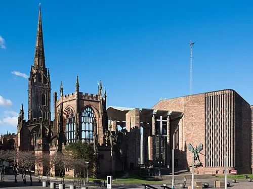 Coventry Cathedral Attraction, Coventry15 km N
-
Stoneleigh Abbey Historic site, Stoneleigh7.5 km NE
-
Kenilworth Castle Historic site, Kenilworth7.5 km N
-
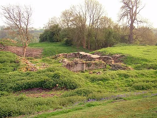 Baginton Castle Historic site, Baginton12 km NE
Nearest towns and villages
-
Warwick City, Warwick District0.4 km N
-
Bridge End Neighbourhood, Warwick0.3 km SE
-
Royal Leamington Spa Town, Royal Leamington Spa4.5 km E
-
Cliff Hill Neighbourhood, Warwick1.2 km N
Sources & licences
Data last updated: · 2 independent sources