Sunningdale
Located in Windsor and Maidenhead, England Coordinates: 51°23′51″ N 0°38′27″ W
- Elevation
- 62 m
- above sea level
- Local time
- UTC+00:00
- Europe/London · UTC+00:00
- Places inside
- 4
- listed under Sunningdale
- Airports
- LHR London Heathrow Airport15 km
- LGW London Gatwick Airport42 km
About Sunningdale
Sunningdale is a municipality. Location: Windsor and Maidenhead, England. Elevation: 62 m. The best months to visit are June–August. The nearest airport is London Heathrow Airport (15 km). Nearby sights include China Island and Ribs Down.
Climate of Sunningdale
Best months for sightseeingBest months for sightseeing: June–August.
This month · November
A cold month
Day 11° · Night 4° · Rain 62 mm
- Hottest month
- July (day 22°)
- Coldest month
- February (night 2°)
- Wettest month
- October (66 mm)
- Driest month
- July (40 mm)
Bars: average monthly low and high temperature. Below: precipitation. Monthly averages for 1970–2000 at about 18 km resolution, adjusted for elevation. Highlighted months are mild and relatively dry. Source: WorldClim 2.1 (CC BY 4.0).
Show values as a table
| Month | Jan | Feb | Mar | Apr | May | Jun | Jul | Aug | Sep | Oct | Nov | Dec |
|---|---|---|---|---|---|---|---|---|---|---|---|---|
| Average high (°C) | 8° | 8° | 10° | 13° | 17° | 20° | 22° | 22° | 19° | 15° | 11° | 8° |
| Average low (°C) | 2° | 2° | 3° | 4° | 7° | 10° | 13° | 12° | 10° | 7° | 4° | 3° |
| Precipitation (mm) | 62 | 42 | 49 | 46 | 50 | 52 | 40 | 51 | 58 | 66 | 62 | 64 |
How to get to Sunningdale
The nearest airport is London Heathrow Airport (LHR), 15 km to the northeast as the crow flies. The nearest large city is Woking, 10 km to the southeast.
Airports
- London Heathrow Airport (LHR) London 15 kmnortheast
- London Gatwick Airport (LGW) London 42 kmsoutheast
- London City Airport (LCY) London 50 kmeast
Nearby large cities
- Woking Population: 103.9K 10 kmsoutheast
- Slough Population: 164.8K 13 kmnorth
- Reading Population: 318K 24 kmwest
- High Wycombe Population: 133.2K 27 kmnorth
- Harrow Population: 149.2K 29 kmnortheast
Straight-line distances; road distances are longer. Airport data: OurAirports.
Day trips from Sunningdale
Within 100 km: 865 historic and cultural sites, 704 natural sites, 301 lakes, rivers and coasts.
0–25 km220 places
- The Lynch Island 21 kmNW
- Holm Island Island 9 kmNE
- Sunbury Court Island 17 kmE
- Rivermead Island 17 kmE
25–60 km750 places
- White Hart Lane Landmark 46 kmNE
- Lot's Ait Island 26 kmE
- Andersey Island Island 53 kmNW
- Rose Isle Island 55 kmNW
60–100 km900 places
- Portsea Island Natural site 73 kmSW
- Isle of Wight Island 92 kmSW
- Spotlites @ Kings Theatre Attraction 82 kmE
- St Nicholas Church Shoreham Attraction 67 kmS
Straight-line distances.
Places in Sunningdale
4 placesCities & villages3
- Broomhall · Village
- Sunningdale · Village
- The Rise · Neighbourhood
Mountains & nature1
- Shrubs Hill · Mountain
Nearby attractions & nature
Everything nearby-
China Island Island, Old Windsor2 km NE
-
Ribs Down Mountain, Windlesham2.6 km S
-
Virginia Water Lake, England3.1 km NE
-
Bagshot Park Natural site, England4.4 km W
-
Savil Garden Natural site, Runnymede District4.4 km NE
-
Cranbourne Tower Historic site, Windsor and Maidenhead5.8 km N
-
Windsor Great Park Natural site, Windsor and Maidenhead7.9 km N
-
Surrey Hill Mountain, Winkfield6.7 km SW
Other cities and towns in Windsor and Maidenhead
-
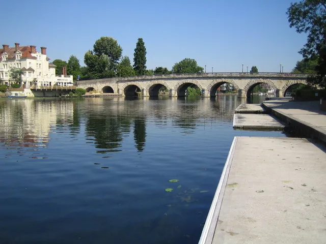 Maidenhead City, Windsor and Maidenhead15 km N
-
Windsor Town, Windsor and Maidenhead10 km N
-
Old Windsor Municipality, Windsor and Maidenhead5.3 km N
-
Old Windsor Town, Old Windsor7.7 km NE
-
Furze Platt Town, Windsor and Maidenhead17 km NW
-
Wraysbury Municipality, Windsor and Maidenhead9.1 km NE
Sources & licences
Data last updated: