Holywood
Local name: Ard Mhic Nasca
Located in Ards and North Down, Northern Ireland Coordinates: 54°38′19″ N 5°49′29″ W
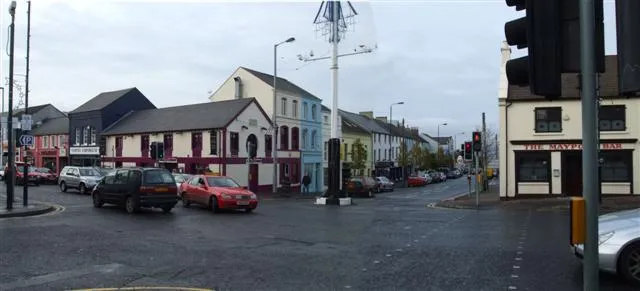
- Population
- 13,109
- 13.1K
- Elevation
- 44 m
- above sea level
- Local time
- UTC+00:00
- Europe/London · UTC+00:00
- Airports
- BHD George Best Belfast City Airport4 km
- BFS Belfast International Airport25 km
About Holywood
Holywood is a town. Location: Ards and North Down, Northern Ireland. Population: 13,109. Elevation: 44 m.
Holywood ( HOL-ee-wuud; from Latin Sanctus Boscus 'holy wood') is a town in the metropolitan area of Belfast in County Down, Northern Ireland. It is a civil parish and townland of 306 hectares (755 acres) lying on the shore of Belfast Lough, between Belfast and Bangor. Holywood Exchange and Belfast City Airport are nearby.
Source: Wikipedia · CC BY-SA 4.0
Photos of Holywood
-
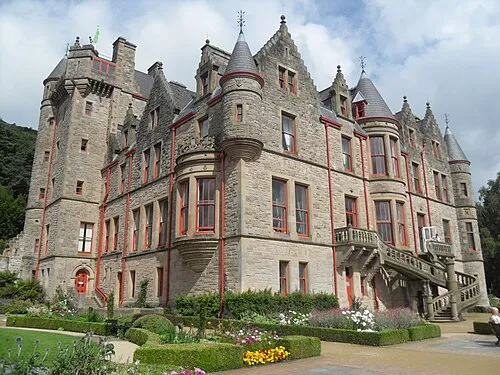
Belfast Castle Trevor Caruth · CC BY-SA 3.0

Travel notes for Holywood
From Wikivoyage
Holywood is a town five miles northeast of Belfast. It's historically in County Down, but since 2015 has been governed as part of Ards and North Down District, along with Bangor and Newtownards. With a population of 10,700 in 2021, its main attractions are the Ulster Folk and Transport Museums.
Understand+
The town's name is pronounced "holly" but means "holy" — the monastery of St Laiseran was established early in the 7th century. An Augustinian priory was built in the 12th century, and these are the ruins you see today. In the early 17th century Holywood was rebuilt as a Plantation market town. Its developers and settlers didn't make much money, until the railway arrived in 1848. It became a commuter town, trippers came out from the city for a day at the seaside, and wealthy industrialists and merchants built their mansions here. Traditional industry slumped in the 20th century and fuelled "The Troubles", but Holywood is not an interface between communities and was only lightly afflicted. It has even managed to attract a textile industry in an era when so many Ulster towns have lost theirs.
Get in+
1 Belfast City Airport aka George Best (BHD IATA) is two miles southwest. Take the free shuttle bus or walk to Sydenham station for the Bangor train as below.
For other long-distance routes travel via Belfast city centre: by car follow A2.
Trains from Belfast Grand Central run every 20 min and take 20 min via City Hospital, Botanic (for Queen's University), Lanyon Place, Titanic and Sydenham (for City Airport). They continue from Holywood to Marino (for beach), Cultra (for Transport and Folk Museums), Seahill, Helen's Bay (for Crawfordsburn), Carnalea, Bangor West and Bangor.
2 Holywood railway station is on A2 the bypass, a block northwest of High St. It has ticket machines, and step-free access to the platforms. No toilets.
Ulsterbus 1 & 2 run from Belfast Laganside, taking 25 min via Lanyon Place, and continuing to Cultra, Kilcooley, Crawfordsburn and Bangor. They're hourly M-Sa but only four on Sunday.
Source: Wikivoyage · CC BY-SA 4.0 · abridged
Climate of Holywood
Best months for sightseeingBest months for sightseeing: June–August.
This month · November
A cold month
Day 9° · Night 3° · Rain 79 mm
- Hottest month
- July (day 20°)
- Coldest month
- January (night 1°)
- Wettest month
- October (86 mm)
- Driest month
- May (55 mm)
Bars: average monthly low and high temperature. Below: precipitation. Monthly averages for 1970–2000 at about 18 km resolution, adjusted for elevation. Highlighted months are mild and relatively dry. Source: WorldClim 2.1 (CC BY 4.0).
Show values as a table
| Month | Jan | Feb | Mar | Apr | May | Jun | Jul | Aug | Sep | Oct | Nov | Dec |
|---|---|---|---|---|---|---|---|---|---|---|---|---|
| Average high (°C) | 6° | 7° | 10° | 12° | 16° | 18° | 20° | 19° | 16° | 13° | 9° | 7° |
| Average low (°C) | 1° | 1° | 2° | 4° | 6° | 9° | 11° | 11° | 9° | 6° | 3° | 1° |
| Precipitation (mm) | 85 | 60 | 66 | 58 | 55 | 60 | 64 | 77 | 79 | 86 | 79 | 81 |
How to get to Holywood
The nearest airport is George Best Belfast City Airport (BHD), 4 km to the southwest as the crow flies. For international flights: Belfast International Airport (BFS) (25 km). The nearest large city is Belfast, 8 km to the southwest.
Airports
- George Best Belfast City Airport (BHD) Belfast 4 kmsouthwest
- Belfast International Airport (BFS) Belfast 25 kmwest
- Campbeltown Airport (CAL) Campbeltown 89 kmnorth
Nearby large cities
- Belfast Population: 348K 8 kmsouthwest
- Dublin Population: 1M 148 kmsouth
- Glasgow Population: 626.4K 169 kmnortheast
- Blackpool Population: 145K 203 kmsoutheast
- Edinburgh Population: 515K 222 kmnortheast
Straight-line distances; road distances are longer. Airport data: OurAirports.
Day trips from Holywood
Within 100 km: 68 historic and cultural sites, 604 natural sites, 321 lakes, rivers and coasts.
0–25 km68 places
- Reagh Island Island 19 kmSE
- Lighthouse Island Island 20 kmE
- Copeland Island Island 20 kmE
- Strangford Lough Lake 21 kmSE
25–60 km238 places
- West Maiden Island 33 kmN
- Reedy Flat Island 45 kmW
- Rams Island Island 32 kmW
- Guns Island Island 42 kmSE
60–100 km687 places
- Portstewart Beach Beach 83 kmNW
- Benone Beach Beach 90 kmNW
- The Skerries Island 83 kmNW
- Sheep Island Island 74 kmN
Straight-line distances.
Nearby attractions & nature
Everything nearby-
Ballykeel Mountain, Ards and North Down1.8 km SE
-
Stormont Castle Historic site, Ards and North Down2.5 km S
-
Belfast Lough RSPB Reserve Natural site, Belfast3.4 km W
-
Belfast Castle Historic site, Belfast7.6 km W
-
Cairngaver Mountain, Ards and North Down5.5 km SE
-
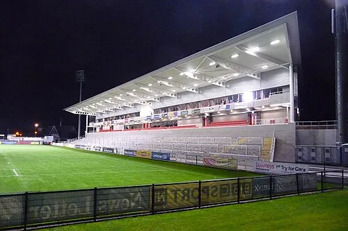 Kingspan Stadium Landmark, Belfast8.6 km SW
-
St Columba's Church Attraction, Belfast5.8 km SW
-
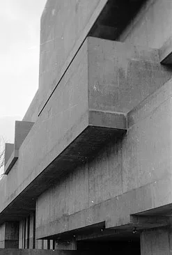 Ulster Museum Museum, Belfast9.5 km SW
Other cities and towns in Ards and North Down
-
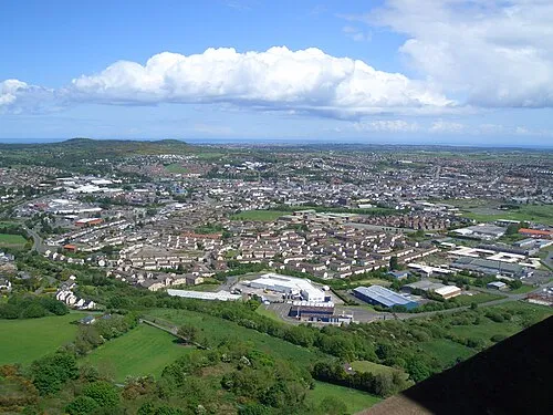 Newtownards City, Ards and North Down10 km SE
-
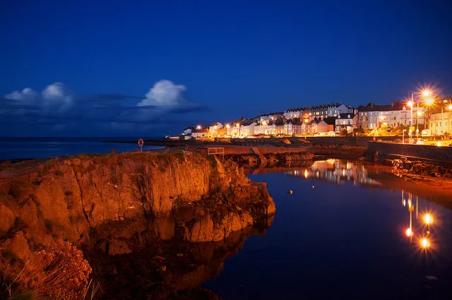 Bangor City, Ards and North Down10 km E
-
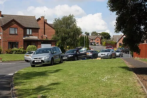 Comber Town, Ards and North Down11 km SE
-
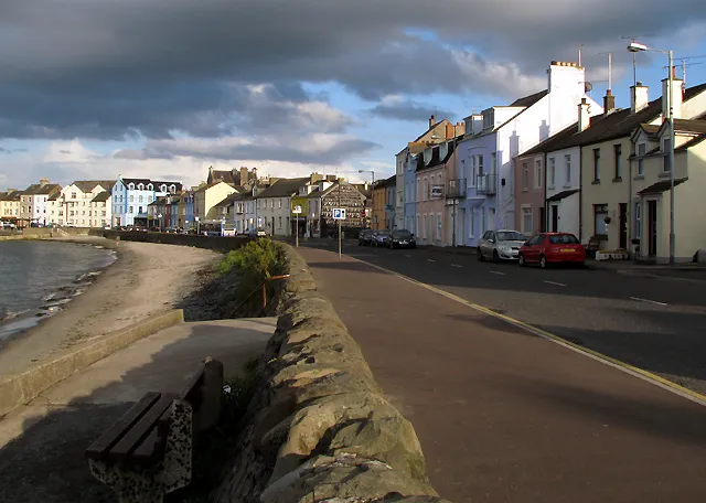 Donaghadee Town, Ards and North Down19 km E
Sources & licences
Data last updated: · 2 independent sources