- Elevation
- 8 m
- above sea level
- Local time
- UTC+00:00
- Europe/London · UTC+00:00
- Airports
- LDY City of Derry Airport39 km
- ILY Islay Airport56 km
About The Skerries
The Skerries is an island. Location: Northern Ireland, United Kingdom. The best months to visit are June–August. The nearest airport is City of Derry Airport (39 km). Nearby sights include Ramore Head and Corbally Reservoir.
Photos of The Skerries
-
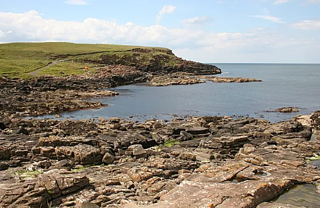
Ramore Head Anne Burgess · CC BY-SA 2.0

Climate of The Skerries
Best months for sightseeingBest months for sightseeing: June–August.
This month · November
A wet month
Day 10° · Night 5° · Rain 132 mm
- Hottest month
- August (day 18°)
- Coldest month
- February (night 3°)
- Wettest month
- January (137 mm)
- Driest month
- May (64 mm)
Bars: average monthly low and high temperature. Below: precipitation. Monthly averages for 1970–2000 at about 18 km resolution, adjusted for elevation. Highlighted months are mild and relatively dry. Source: WorldClim 2.1 (CC BY 4.0).
Show values as a table
| Month | Jan | Feb | Mar | Apr | May | Jun | Jul | Aug | Sep | Oct | Nov | Dec |
|---|---|---|---|---|---|---|---|---|---|---|---|---|
| Average high (°C) | 8° | 8° | 9° | 11° | 14° | 16° | 18° | 18° | 16° | 13° | 10° | 9° |
| Average low (°C) | 3° | 3° | 4° | 5° | 7° | 10° | 12° | 12° | 10° | 8° | 5° | 4° |
| Precipitation (mm) | 137 | 102 | 105 | 73 | 64 | 70 | 79 | 97 | 108 | 132 | 132 | 130 |
How to get to The Skerries
The nearest airport is City of Derry Airport (LDY), 39 km to the southwest as the crow flies. The nearest large city is Belfast, 83 km to the southeast.
Airports
- City of Derry Airport (LDY) Derry, Derry and Strabane 39 kmsouthwest
- Islay Airport (ILY) Isle of Islay, Argyll and Bute 56 kmnortheast
- Campbeltown Airport (CAL) Campbeltown 64 kmeast
Nearby large cities
- Belfast Population: 348K 83 kmsoutheast
- Glasgow Population: 626.4K 166 kmnortheast
- Dublin Population: 1M 212 kmsouth
- Edinburgh Population: 515K 231 kmeast
- Dundee Population: 148.2K 268 kmnortheast
Straight-line distances; road distances are longer. Airport data: OurAirports.
Day trips from The Skerries
Within 100 km: 81 historic and cultural sites, 832 natural sites, 482 lakes, rivers and coasts.
0–25 km43 places
- Portstewart Beach Beach 9 kmSW
- Benone Beach Beach 17 kmW
- Portstewart Strand Beach 11 kmSW
- Sheep Island Island 18 kmE
25–60 km366 places
- Lisfannon Beach Beach 56 kmW
- Texa Island Island 53 kmNE
- Rathlin Island Island 28 kmE
- Oversay Island Island 51 kmN
60–100 km986 places
- Isle of Arran Island 97 kmNE
- Colonsay Island 97 kmN
- Island Roy Island 74 kmW
- Oronsay Island 91 kmN
Straight-line distances.
Nearest towns and villages
-
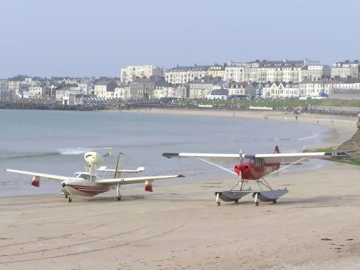 Portrush Town, Causeway Coast and Glens3.3 km SW
-
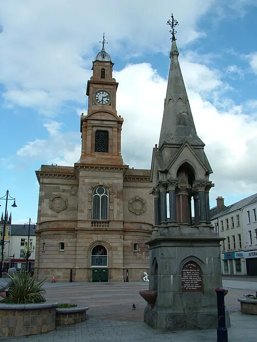 Coleraine City, Causeway Coast and Glens10 km S
-
 Portballintrae Village, Causeway Coast and Glens5.5 km E
-
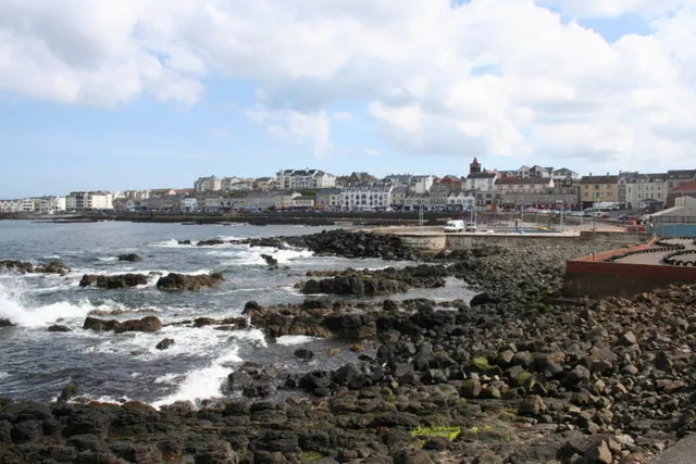 Portstewart Town, Causeway Coast and Glens7.2 km SW
-
Bushmills Village, Causeway Coast and Glens7.3 km E
-
Lissanduff Village, Causeway Coast and Glens5.4 km E
Nearby attractions & nature
Everything nearby-
Ramore Head Natural site, Causeway Coast and Glens2.5 km SW
-
Corbally Reservoir Lake, Causeway Coast and Glens4.1 km S
-
Portrush Historic site, Causeway Coast and Glens2.6 km SW
-
Port Ballintrae Natural site, Causeway Coast and Glens5.2 km E
-
Giants Causeway Natural site, Causeway Coast and Glens6.4 km E
-
Dunluce Castle Historic site, Causeway Coast and Glens3.5 km SE
-
Dunluce Castle Historic site, Causeway Coast and Glens3.9 km SE
-
Portstewart Beach Beach, Causeway Coast and Glens8.6 km SW
More lakes, rivers and coasts in United Kingdom
-
Portstewart Strand Beach, Causeway Coast and Glens11 km SW
-
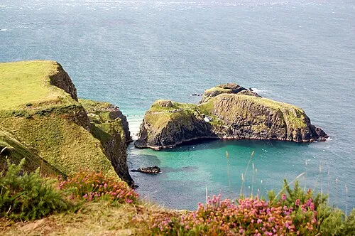 Carrickarade Island Island, Northern Ireland19 km E
-
Bush River River, Northern Ireland8.2 km E
-
Sheep Island Island, Causeway Coast and Glens18 km E
-
Benone Beach Beach, Causeway Coast and Glens17 km W
-
River Bann River, Northern Ireland11 km SW
Sources & licences
Data last updated: