Killantringan Lighthouse
Located in Dumfries and Galloway, Scotland Coordinates: 54°51′43″ N 5°08′49″ W
- Local time
- UTC+00:00
- Europe/London · UTC+00:00
- Elevation
- 21 m
- above sea level
- Airports
- BHD George Best Belfast City Airport54 km
- BFS Belfast International Airport72 km
About Killantringan Lighthouse
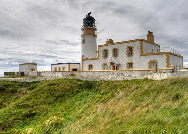
Killantringan Lighthouse is a landmark. Location: Dumfries and Galloway, Scotland.
Killantringan Lighthouse is a lighthouse located near Portpatrick in Dumfries and Galloway, south-west Scotland. The light came into operation in 1900, and served as a waypoint in the North Channel of the Irish Sea. The name Killantringan is derived from Cill shaint Ringain, 'St Ringan's chapel'; Ringan is a mediaeval variation of Ninian. The lighthouse is protected as a category B listed building.
Source: Wikipedia · CC BY-SA 4.0
At a glance
- Built
- 1900
- Heritage designation
- category B listed building
- Height
- 22 m
Source: Wikidata
Climate of Killantringan Lighthouse
Best months for sightseeingBest months for sightseeing: June–August.
This month · November
A wet month
Day 9° · Night 4° · Rain 124 mm
- Hottest month
- July (day 18°)
- Coldest month
- February (night 1°)
- Wettest month
- October (127 mm)
- Driest month
- May (58 mm)
Bars: average monthly low and high temperature. Below: precipitation. Monthly averages for 1970–2000 at about 18 km resolution, adjusted for elevation. Highlighted months are mild and relatively dry. Source: WorldClim 2.1 (CC BY 4.0).
Show values as a table
| Month | Jan | Feb | Mar | Apr | May | Jun | Jul | Aug | Sep | Oct | Nov | Dec |
|---|---|---|---|---|---|---|---|---|---|---|---|---|
| Average high (°C) | 7° | 7° | 9° | 11° | 14° | 17° | 18° | 18° | 16° | 13° | 9° | 8° |
| Average low (°C) | 2° | 1° | 2° | 4° | 6° | 9° | 11° | 11° | 9° | 7° | 4° | 2° |
| Precipitation (mm) | 124 | 86 | 95 | 67 | 58 | 72 | 77 | 97 | 104 | 127 | 124 | 120 |
How to get to Killantringan Lighthouse
The nearest airport is George Best Belfast City Airport (BHD), 54 km to the southwest as the crow flies. For international flights: Belfast International Airport (BFS) (72 km). The nearest large city is Belfast, 58 km to the southwest.
Airports
- George Best Belfast City Airport (BHD) Belfast 54 kmsouthwest
- Belfast International Airport (BFS) Belfast 72 kmwest
- Campbeltown Airport (CAL) Campbeltown 73 kmnorthwest
Nearby large cities
- Belfast Population: 348K 58 kmsouthwest
- Glasgow Population: 626.4K 125 kmnortheast
- Edinburgh Population: 515K 173 kmnortheast
- Blackpool Population: 145K 179 kmsoutheast
- Dublin Population: 1M 185 kmsouthwest
Straight-line distances; road distances are longer. Airport data: OurAirports.
Nearby attractions & nature
Everything nearby-
Black Head Natural site, Dumfries and Galloway0.2 km SW
-
Killantringan Fell Mountain, Dumfries and Galloway1.5 km E
-
Knock Bay Natural site, Scotland0.6 km N
-
Craigbouie Fell Mountain, Dumfries and Galloway1.9 km E
-
Killantringan Bay Natural site, Scotland1.4 km NW
-
Maidenhead Bay Natural site, Scotland1.8 km SE
-
Craigenlee Fell Mountain, Dumfries and Galloway4.1 km E
-
Broadsea Bay Natural site, Scotland3 km N
Nearest towns and villages
-
Portpatrick Village, Dumfries and Galloway3 km SE
-
Enoch Village, Dumfries and Galloway2.3 km SE
-
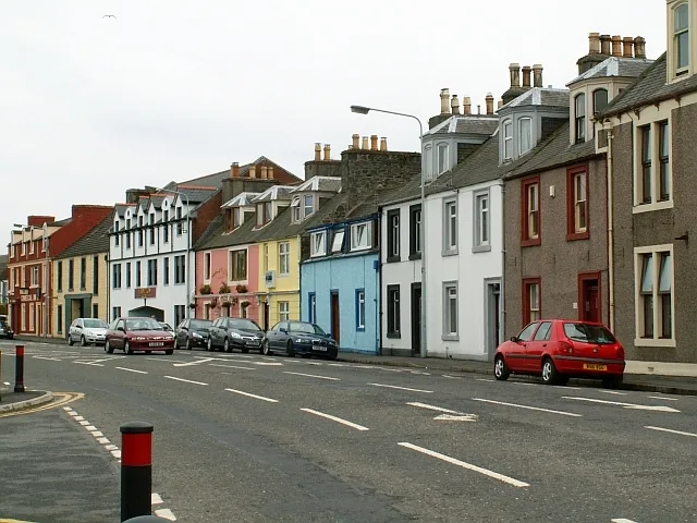 Stranraer Town, Dumfries and Galloway8.9 km NE
-
Glenstockdale Village, Dumfries and Galloway5.4 km NE
More sights in Dumfries and Galloway
-
 Stair Park Landmark, Dumfries and Galloway9.7 km NE
-
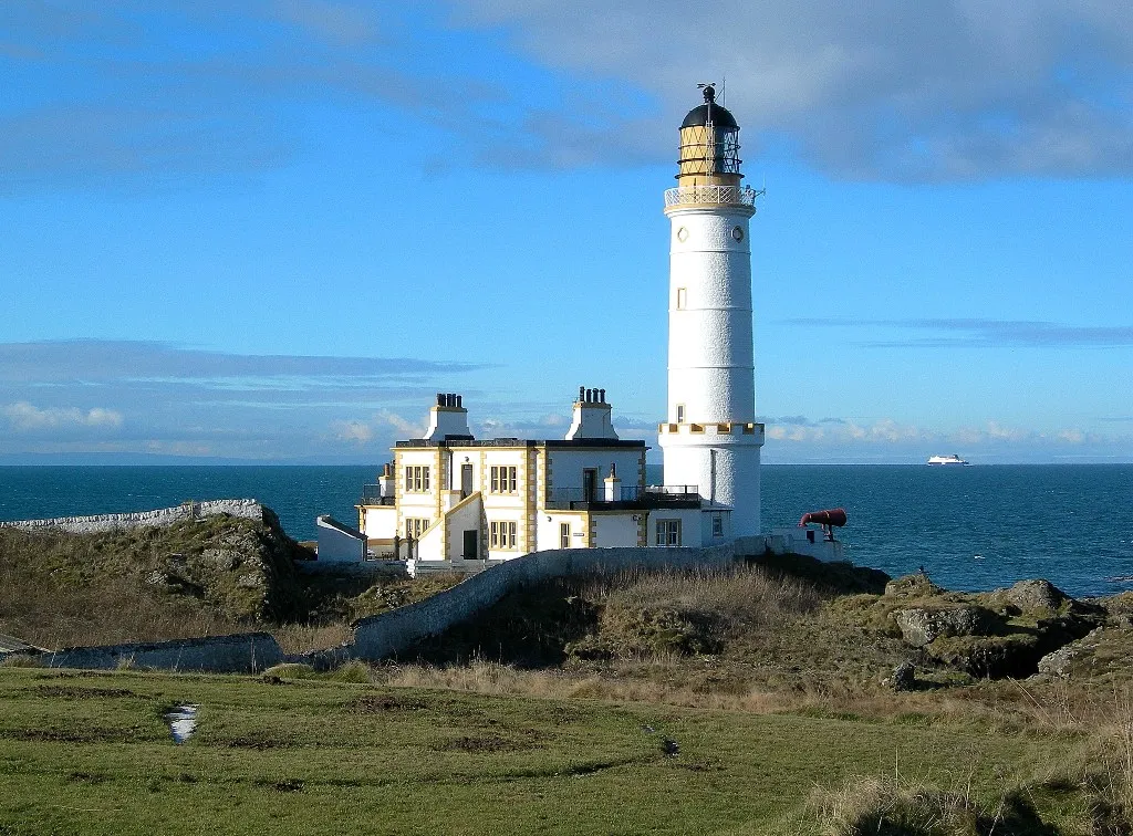 Corsewall Lighthouse Landmark, Dumfries and Galloway16 km N
-
Glenluce Abbey Historic site, Dumfries and Galloway20 km E
-
Glenluce Abbey c. 1191-1602 Historic site, Dumfries and Galloway20 km E
-
Mull of Galloway Lighthouse Landmark, Dumfries and Galloway31 km SE
-
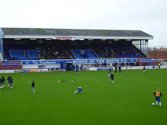 Palmerston Park Landmark, Dumfries and Galloway100 km E
Sources & licences
Data last updated: · 2 independent sources