Dumfries and Galloway
Located in Scotland, United Kingdom Coordinates: 55°05′00″ N 3°50′00″ W
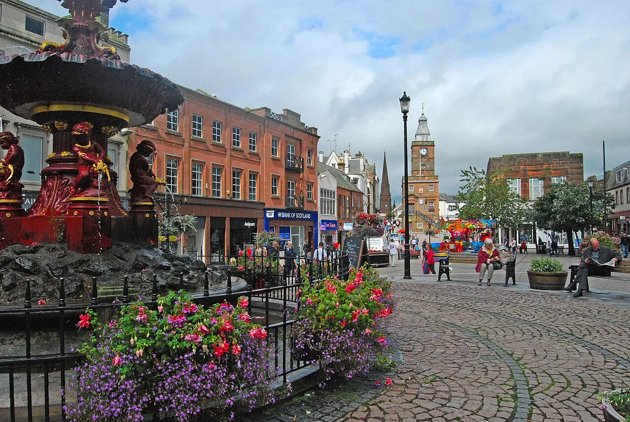
- Population
- 145,860
- 145.9K
- Elevation
- 272 m
- above sea level
- Local time
- UTC+00:00
- Europe/London · UTC+00:00
- Places inside
- 1,299
- listed under Dumfries and Galloway
- Airports
- PIK Glasgow Prestwick Airport66 km
- GLA Glasgow Airport96 km
About Dumfries and Galloway
Dumfries and Galloway is a district. Location: Scotland, United Kingdom. Population: 145,860. The best months to visit are June–August. The nearest airport is Glasgow Prestwick Airport (66 km). Nearby sights include Old Water and Glenesslin Burn.
Photos of Dumfries and Galloway
-
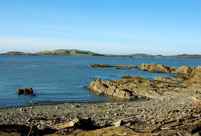
Little Ross Malcolm Morris · CC BY-SA 2.0 -
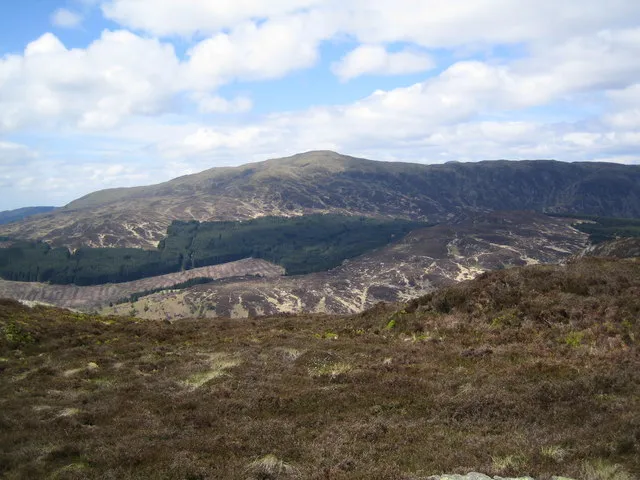
Millfore Judy Catterall · CC BY-SA 2.0 -
Merrick w:User:DavidAdamson · CC BY 3.0 -
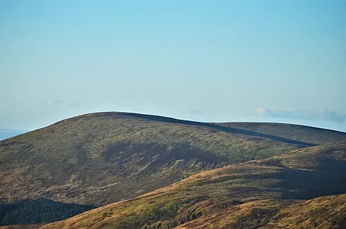
Loch Fell Iangpark · CC BY-SA 4.0 -
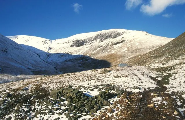
Hart Fell Richard Webb · CC BY-SA 2.0


Climate of Dumfries and Galloway
Best months for sightseeingBest months for sightseeing: June–August.
This month · November
A wet month
Day 7° · Night 2° · Rain 132 mm
- Hottest month
- July (day 17°)
- Coldest month
- January (night 0°)
- Wettest month
- January (139 mm)
- Driest month
- April (63 mm)
Bars: average monthly low and high temperature. Below: precipitation. Monthly averages for 1970–2000 at about 18 km resolution, adjusted for elevation. Highlighted months are mild and relatively dry. Source: WorldClim 2.1 (CC BY 4.0).
Show values as a table
| Month | Jan | Feb | Mar | Apr | May | Jun | Jul | Aug | Sep | Oct | Nov | Dec |
|---|---|---|---|---|---|---|---|---|---|---|---|---|
| Average high (°C) | 5° | 5° | 7° | 10° | 13° | 16° | 17° | 17° | 14° | 11° | 7° | 5° |
| Average low (°C) | 0° | 0° | 1° | 2° | 5° | 8° | 10° | 9° | 7° | 5° | 2° | 1° |
| Precipitation (mm) | 139 | 99 | 102 | 63 | 72 | 66 | 75 | 90 | 106 | 137 | 132 | 137 |
How to get to Dumfries and Galloway
The nearest airport is Glasgow Prestwick Airport (PIK), 66 km to the northwest as the crow flies. The nearest large city is Glasgow, 91 km to the north.
Airports
- Glasgow Prestwick Airport (PIK) Prestwick, South Ayrshire 66 kmnorthwest
- Glasgow Airport (GLA) Glasgow 96 kmnorthwest
- Edinburgh Airport (EDI) Ingliston, Edinburgh 101 kmnorth
Nearby large cities
- Glasgow Population: 626.4K 91 kmnorth
- Edinburgh Population: 515K 105 kmnorth
- Newcastle upon Tyne Population: 300.1K 142 kmeast
- Belfast Population: 348K 145 kmwest
- Blackpool Population: 145K 150 kmsouth
Straight-line distances; road distances are longer. Airport data: OurAirports.
Day trips from Dumfries and Galloway
Within 100 km: 364 historic and cultural sites, 2,905 natural sites, 700 lakes, rivers and coasts.
0–25 km366 places
- Green Island Island 18 kmW
- Grainyford Isle Island 21 kmSW
- Danevale Island Island 16 kmSW
- Parton Island Island 15 kmSW
25–60 km1,311 places
- Powillimount Beach Beach 27 kmSE
- Murrays Isles Island 39 kmSW
- Hestan Island Island 28 kmS
- Islands of Fleet Island 40 kmSW
60–100 km2,292 places
- St. Bees Beach Seafront Beach 68 kmS
- Ayr Beach Beach 66 kmNW
- Troon Beach Beach 73 kmNW
- Hunterston Sands Beach 98 kmNW
Straight-line distances.
Places in Dumfries and Galloway
1,299 placesCities & villages15
- Penkiln Mews · Village
- Penninghame · Village
- Penpont · Village
- Portling · Village
- Port Logan · Village
- Port o' Warren Bay · Village
- Portyerrock · Village
- Powfoot · Village
- Prestonmill · Village
- Prestrie · Village
- Racks · Village
- Rerrick High Row · Village
- Rigg · Village
- Ringford · Village
- Rockcliffe · Village
Mountains & nature43
- Penbane · Mountain
- Penbreck · Mountain
- Phawhope Kips · Mountain
- Pibble Hill · Mountain
- Pike Fell · Mountain
- Pikestone Hill · Mountain
- Pikethaw Hill · Mountain
- Pinnacle Hill · Mountain
- Plea Knowe · Mountain
- Plunton Hill · Mountain
- Polholm Rig · Mountain
- Portlong Bay · Natural site
- Portnaughan Bay · Natural site
- Port Nessock Bay · Natural site
- Port O'Warren Bay · Natural site
- Portyerrock Bay · Natural site
- Pot Hill · Mountain
- Potholm Hill · Mountain
- Potterland Hill · Mountain
- Poultrybuie Hill · Mountain
- Poundland Hill · Mountain
- Priestgill Head · Mountain
- Pumro Fell · Mountain
- Punch Well Brae · Mountain
- Quarry Bay · Natural site
- Queensberry · Mountain
- Quhytewoollen Hill · Mountain
- Quickningair Hill · Mountain
- Ramshaw Fort · Mountain
- Rangecastle Hill · Mountain
- Redbank Hill · Mountain
- Repentance Hill · Mountain
- Rig of Burnfoot · Mountain
- Rig of Drumbuie · Mountain
- Rig of the Cairn · Mountain
- Ringdoo Bay · Natural site
- Risp Hill · Mountain
- Rivox Fell · Mountain
- Rivox Moor · Mountain
- Robertson's Bay · Natural site
- Ronald's Hill · Mountain
- Rorie Hill · Mountain
- Rosehill · Mountain
Lakes, rivers & coasts1
- Powillimount Beach · Beach
Heritage & sights1
- Robert Burns Centre · Museum
Nearby attractions & nature
Everything nearby-
Old Water River, Scotland5.3 km E
-
Glenesslin Burn River, Scotland6 km N
-
Lochrutton Loch Lake, Scotland7.4 km SE
-
Milton Loch Lake, Scotland7.5 km S
-
Corsock Loch Lake, Scotland7.7 km W
-
Nithsdale Natural site, Scotland8.5 km NE
Other regions in Scotland
-
 South Lanarkshire District, Scotland56 km N
-
East Ayrshire District, Scotland53 km NW
-
South Ayrshire District, Scotland56 km W
-
North Lanarkshire District, Scotland87 km N
-
 East Renfrewshire District, Scotland81 km NW
-
 Renfrewshire District, Scotland94 km NW
Sources & licences
Data last updated: