Liberton
Located in Edinburgh, Scotland Coordinates: 55°54′47″ N 3°09′39″ W
- Elevation
- 110 m
- above sea level
- Local time
- UTC+00:00
- Europe/London · UTC+00:00
About Liberton
Liberton is a village. Location: Edinburgh, Scotland. Elevation: 110 m.
Liberton is a suburb of Edinburgh, Scotland. It is in the south of the city, south of The Inch, east of the Braid Hills and west of Moredun. Liberton Community council's area includes Liberton, Gracemount, Kaimes, Alnwickhill and Mortonhall. Historically the parish covered a wide area and included Burdiehouse, Gilmerton, Niddrie and Straiton. It was incorporated into the city in 1920..
Read more on Wikipedia Text: Wikipedia contributors · CC BY-SA 4.0 · shortened
In comparison
- Nearest larger town: Danderhall, 3 km E
- 70 sights and natural places within 10 km Craigmillar Castle, Lions Haunch
Climate of Liberton
Best months for sightseeing: June–September.
| Month | Jan | Feb | Mar | Apr | May | Jun | Jul | Aug | Sep | Oct | Nov | Dec |
|---|---|---|---|---|---|---|---|---|---|---|---|---|
| Average high (°C) | 6° | 6° | 8° | 11° | 14° | 17° | 19° | 18° | 16° | 12° | 9° | 7° |
| Average low (°C) | 0° | 1° | 2° | 3° | 5° | 8° | 10° | 10° | 8° | 6° | 3° | 1° |
| Precipitation (mm) | 64 | 46 | 54 | 43 | 50 | 56 | 60 | 62 | 65 | 70 | 61 | 62 |
Monthly averages for 1970–2000 at about 18 km resolution, adjusted for elevation. Highlighted months are mild and relatively dry. Source: WorldClim 2.1 (CC BY 4.0).
Other places to visit in this season: June · July · August · September
Airports nearest to Liberton
- Edinburgh Airport (EDI) Ingliston, Edinburgh 14 km
- Dundee Airport (DND) Dundee 61 km
- Glasgow Airport (GLA) Glasgow 80 km
Straight-line distance; airports with scheduled flights only. Source: OurAirports (public domain).
Nearby attractions & nature
Everything nearby-
Lions Haunch Mountain, Edinburgh2.3 km N
-
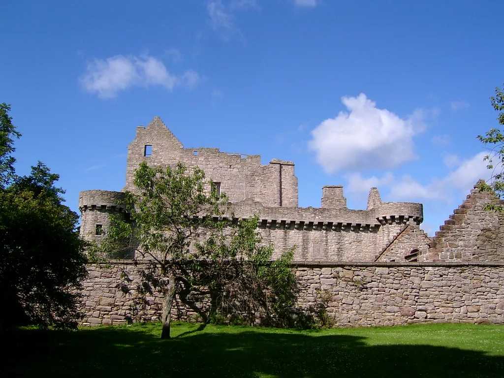 Craigmillar Castle Historic site, Edinburgh2 km NE
-
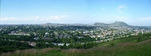 Blackford Hill Mountain, Edinburgh2.4 km NW
-
Duddingston Loch Lake, Scotland3 km N
-
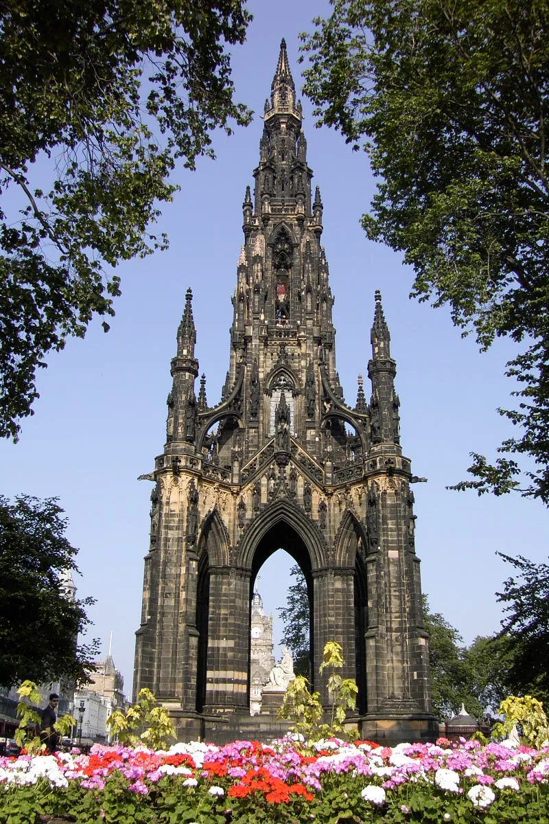 Scott Monument Landmark, Edinburgh4.8 km NW
-
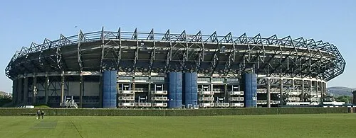 Murrayfield Landmark, Edinburgh6 km NW
Sources & licences
Data last updated: · 2 independent sources