- Elevation
- 85 m
- above sea level
- Local time
- UTC+00:00
- Europe/London · UTC+00:00
- Airports
- EDI Edinburgh Airport9 km
- DND Dundee Airport53 km
About Castland Hill
Castland Hill is a mountain. Location: Fife, Scotland. Elevation: 85 m. The best months to visit are June–August. The nearest airport is Edinburgh Airport (9 km). Nearby sights include Hillfield Crescent and Ferry Hills.
Climate of Castland Hill
Best months for sightseeingBest months for sightseeing: June–August.
This month · November
A cold month
Day 9° · Night 3° · Rain 81 mm
- Hottest month
- July (day 19°)
- Coldest month
- January (night 1°)
- Wettest month
- January (91 mm)
- Driest month
- April (50 mm)
Bars: average monthly low and high temperature. Below: precipitation. Monthly averages for 1970–2000 at about 18 km resolution, adjusted for elevation. Highlighted months are mild and relatively dry. Source: WorldClim 2.1 (CC BY 4.0).
Show values as a table
| Month | Jan | Feb | Mar | Apr | May | Jun | Jul | Aug | Sep | Oct | Nov | Dec |
|---|---|---|---|---|---|---|---|---|---|---|---|---|
| Average high (°C) | 6° | 7° | 9° | 11° | 14° | 17° | 19° | 19° | 16° | 12° | 9° | 7° |
| Average low (°C) | 1° | 1° | 2° | 3° | 6° | 9° | 11° | 11° | 9° | 6° | 3° | 1° |
| Precipitation (mm) | 91 | 62 | 72 | 50 | 59 | 61 | 62 | 63 | 77 | 89 | 81 | 85 |
How to get to Castland Hill
The nearest airport is Edinburgh Airport (EDI), 9 km to the south as the crow flies. The nearest large city is Edinburgh, 16 km to the southeast.
Airports
- Edinburgh Airport (EDI) Ingliston, Edinburgh 9 kmsouth
- Dundee Airport (DND) Dundee 53 kmnortheast
- Glasgow Airport (GLA) Glasgow 66 kmwest
Nearby large cities
- Edinburgh Population: 515K 16 kmsoutheast
- Glasgow Population: 626.4K 56 kmwest
- Dundee Population: 148.2K 56 kmnortheast
- Aberdeen Population: 198.6K 148 kmnortheast
- Newcastle upon Tyne Population: 300.1K 164 kmsoutheast
Straight-line distances; road distances are longer. Airport data: OurAirports.
Day trips from Castland Hill
Within 100 km: 235 historic and cultural sites, 3,231 natural sites, 723 lakes, rivers and coasts.
0–25 km272 places
- Burntisland Beach Beach 13 kmE
- Cramond beach Beach 9 kmSE
- Portobello Beach Beach 21 kmSE
- Inchkeith Island 18 kmE
25–60 km1,103 places
- Gullane Beach Beach 36 kmE
- Seacliff Beach Beach 49 kmE
- Mugdrum Island Island 37 kmN
- Isle of May Island 56 kmE
60–100 km2,814 places
- Great Cumbrae Island Island 98 kmW
- Ayr Beach Beach 100 kmSW
- Troon Beach Beach 95 kmSW
- Hunterston Sands Beach 99 kmW
Straight-line distances.
Nearest towns and villages
-
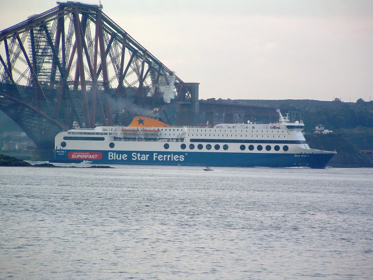 Rosyth Town, Fife1.6 km NW
-
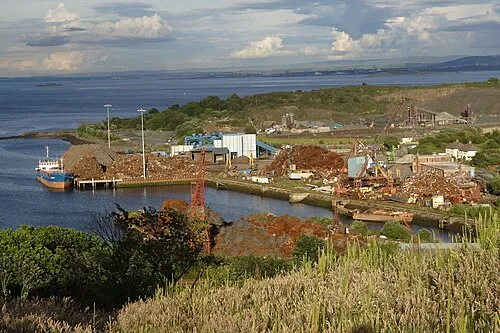 Inverkeithing Town, Fife1.4 km E
-
North Queensferry Village, Fife2.7 km SE
-
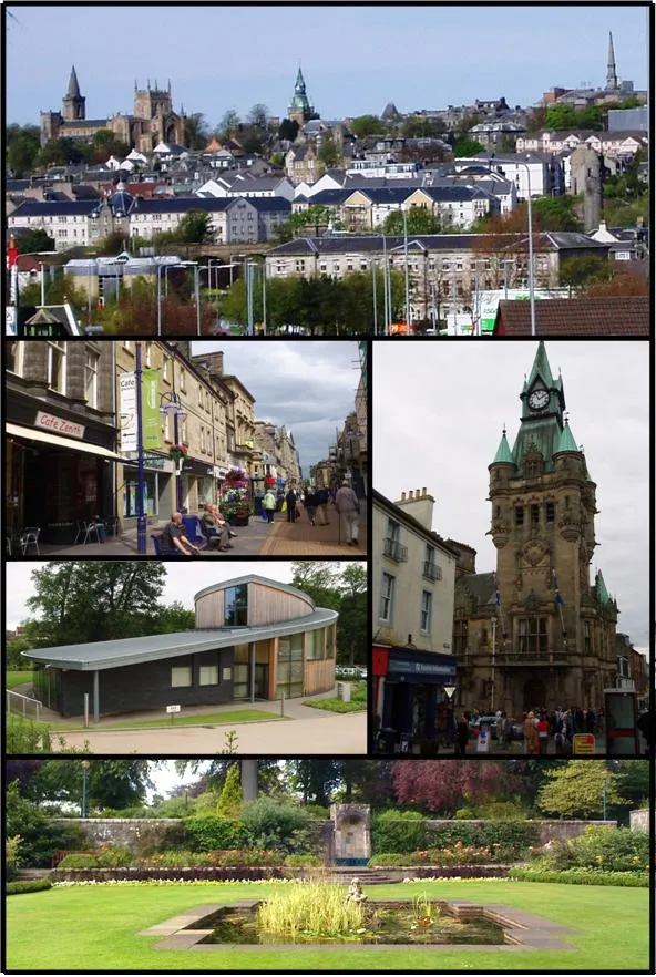 Dunfermline Town, Fife5.4 km NW
-
Dalgety Bay Town, Fife4.2 km E
-
Limekilns Village, Fife3.8 km W
Nearby attractions & nature
Everything nearby-
Hillfield Crescent Mountain, Fife0.9 km E
-
Ferry Hills Mountain, Fife1.9 km SE
-
Inner bay Natural site, Fife1.5 km E
-
Rosyth Castle Historic site, Fife1.1 km SW
-
Letham Hill Mountain, Fife3 km E
-
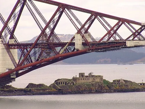 Inch Garvie Island, Edinburgh3.7 km SE
-
Inverkeithing Bay Natural site, Scotland2.5 km E
-
Whitehouse Bay Natural site, Edinburgh4.7 km SE
More nature in United Kingdom
-
Pinnel Hill Mountain, Fife5.1 km NE
-
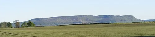 Benarty Hill Mountain, Fife16 km N
-
Hill of Beath Mountain, Fife7.6 km N
-
Dalgety Bay Natural site, Fife5.1 km E
-
Cullaloe Hills Mountain, Fife8.7 km NE
-
East Hill Mountain, Fife9.4 km NW
Sources & licences
Data last updated: