Pirka
Located in Hitzendorf, Politischer Bezirk Graz-Umgebung Coordinates: 47°02′00″ N 15°18′00″ E
- Population
- 70
- 70
- Elevation
- 369 m
- above sea level
- Local time
- UTC+01:00
- Europe/Vienna · UTC+01:00
- Airports
- GRZ Graz Airport12 km
- MBX Maribor Edvard Rusjan Airport68 km
About Pirka
Pirka is a village. Location: Hitzendorf, Politischer Bezirk Graz-Umgebung. Population: 70. Elevation: 369 m. The best months to visit are May–September. The nearest airport is Graz Airport (12 km). Nearby sights include Schloss Hart and Schloss Plankenwarth.
Photos of Pirka
-
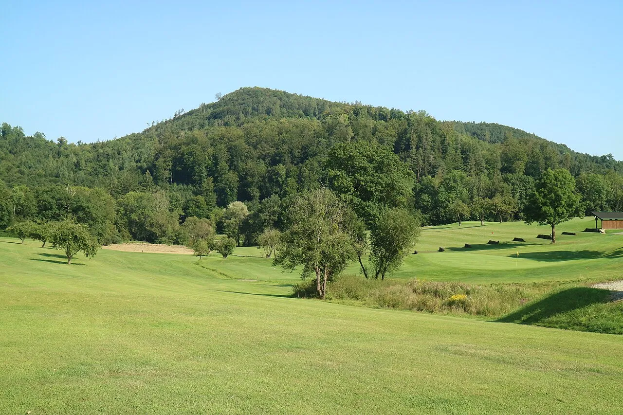
Kollerberg Clemens Stockner · CC BY-SA 4.0 -
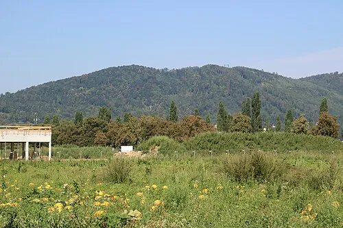
Gaisberg Clemens Stockner · CC BY-SA 4.0 -
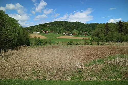
Straßengelberg Clemens Stockner · CC BY-SA 4.0 -
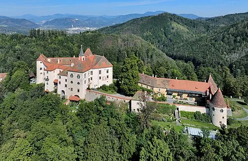
Schloss Plankenwarth C.Stadler/Bwag · CC BY-SA 4.0 -
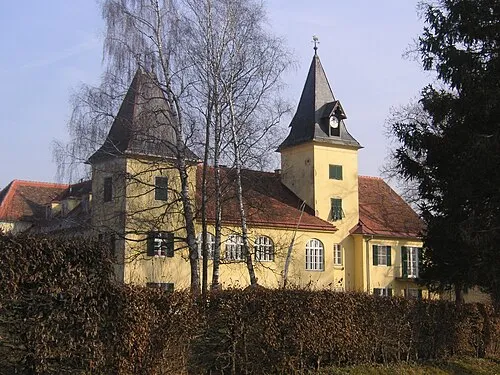
Schloss Hart Liuthalas · CC BY-SA 3.0 at


Climate of Pirka
Best months for sightseeingBest months for sightseeing: May–September.
This month · November
A cold month
Day 8° · Night 0° · Rain 60 mm
- Hottest month
- July (day 25°)
- Coldest month
- January (night -5°)
- Wettest month
- July (129 mm)
- Driest month
- January (29 mm)
Bars: average monthly low and high temperature. Below: precipitation. Monthly averages for 1970–2000 at about 18 km resolution, adjusted for elevation. Highlighted months are mild and relatively dry. Source: WorldClim 2.1 (CC BY 4.0).
Show values as a table
| Month | Jan | Feb | Mar | Apr | May | Jun | Jul | Aug | Sep | Oct | Nov | Dec |
|---|---|---|---|---|---|---|---|---|---|---|---|---|
| Average high (°C) | 3° | 6° | 10° | 15° | 20° | 23° | 25° | 24° | 20° | 15° | 8° | 4° |
| Average low (°C) | -5° | -4° | 0° | 4° | 9° | 12° | 14° | 13° | 10° | 5° | 0° | -3° |
| Precipitation (mm) | 29 | 37 | 55 | 61 | 89 | 121 | 129 | 122 | 89 | 72 | 60 | 44 |
Other places to visit in this season: May June July August September
How to get to Pirka
The nearest airport is Graz Airport (GRZ), 12 km to the southeast as the crow flies. The nearest large city is Graz, 11 km to the east.
Airports
- Graz Airport (GRZ) Feldkirchen bei Graz 12 kmsoutheast
- Maribor Edvard Rusjan Airport (MBX) Maribor 68 kmsoutheast
- Klagenfurt Airport (KLU) Klagenfurt am Wörthersee 85 kmsouthwest
Nearby large cities
- Graz Population: 303.3K 11 kmeast
- Klagenfurt Population: 100.3K 88 kmsouthwest
- Ljubljana Population: 272.2K 125 kmsouthwest
- Zagreb Population: 663.6K 145 kmsouth
- Linz Population: 204.8K 161 kmnorthwest
Straight-line distances; road distances are longer. Airport data: OurAirports.
Day trips from Pirka
Within 100 km: 258 historic and cultural sites, 1,644 natural sites, 577 lakes, rivers and coasts.
0–25 km219 places
- Thaler See Lake 6 kmNE
- Wundschuher Teich Lake 16 kmSE
- Poniglteich Lake 17 kmSE
- Neuteich Lake 15 kmSE
25–60 km748 places
- Ribnica Lake Lake 59 kmS
- Pohorje Mountain 57 kmS
- Jezero Pernica Lake 59 kmSE
- Mislinja River 55 kmS
60–100 km1,512 places
- Mrzla Gora Mountain 92 kmSW
- Grintavec Mountain 95 kmSW
- Ščavnica River 95 kmSE
- Klamm Natural site 92 kmNW
Straight-line distances.
Nearby attractions & nature
Everything nearby-
Schloss Hart Historic site, Thal4.2 km NE
-
Schloss Plankenwarth Historic site, Sankt Oswald bei Plankenwarth5.6 km N
-
Buchkogel Mountain, Hitzendorf5.1 km E
-
Kreuzeck Mountain, Sankt Bartholomä4.5 km NW
-
Rudolfswarte Landmark, Hitzendorf5.1 km E
-
Brühwald Natural site, Styria4.5 km NE
Sources & licences
Data last updated: