- Elevation
- 135 m
- above sea level
- Local time
- UTC+01:00
- Europe/Zagreb · UTC+01:00
- Airports
- SOB Hévíz–Balaton Airport53 km
- ZAG Zagreb Franjo Tuđman International Airport82 km
About Bednja
Bednja is a river. Location: Croatia.
The Bednja (Croatian pronunciation: [bêdɲa]) is a river in northern Croatia, a right tributary of the Drava. It is 133 kilometres (83 mi) long and its basin covers an area of 966 square kilometres (373 sq mi). The Bednja rises in the mountainous forested areas near Macelj in northern Croatia, west of Trakošćan, where it also forms a 0.2 km2 (0.077 sq mi) lake at 255 m.a.s.l.
Read more on Wikipedia Text: Wikipedia contributors · CC BY-SA 4.0 · shortened
At a glance
- Length
- 133 km
Source: Wikidata
Climate of Bednja
Best months for sightseeingBest months for sightseeing: May–September.
Bars: average monthly low and high temperature. Below: precipitation. Monthly averages for 1970–2000 at about 18 km resolution, adjusted for elevation. Highlighted months are mild and relatively dry. Source: WorldClim 2.1 (CC BY 4.0).
Show values as a table
| Month | Jan | Feb | Mar | Apr | May | Jun | Jul | Aug | Sep | Oct | Nov | Dec |
|---|---|---|---|---|---|---|---|---|---|---|---|---|
| Average high (°C) | 3° | 6° | 11° | 16° | 22° | 25° | 27° | 26° | 22° | 16° | 9° | 4° |
| Average low (°C) | -3° | -2° | 1° | 5° | 10° | 13° | 15° | 14° | 10° | 6° | 2° | -2° |
| Precipitation (mm) | 39 | 38 | 47 | 60 | 70 | 87 | 82 | 75 | 73 | 66 | 77 | 56 |
Other places to visit in this season: May June July August September
Airports nearest to Bednja
- Hévíz–Balaton Airport (SOB) Sármellék 53 km
- Zagreb Franjo Tuđman International Airport (ZAG) Velika Gorica 82 km
- Maribor Edvard Rusjan Airport (MBX) Maribor 85 km
Straight-line distance; airports with scheduled flights only. Source: OurAirports (public domain).
Nearest towns and villages
-
Selnica Podravska Village, Municipality of Legrad2 km SE
-
Mali Bukovec City, Municipality of Mali Bukovec2.4 km SW
-
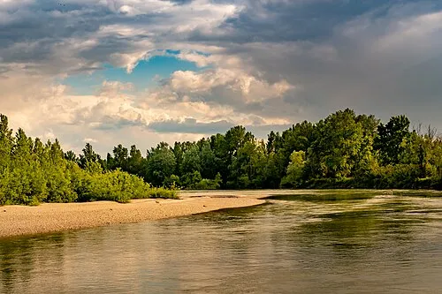 Sveta Marija City, Municipality of Sveta Marija3.6 km N
-
Donji Vidovec City, Municipality of Donji Vidovec3.9 km NE
-
Donja Dubrava City, Municipality of Donja Dubrava4.5 km E
-
Donji Mihaljevec Village, Municipality of Sveta Marija5 km NW
Nearby attractions & nature
Everything nearby-
Plitvica River, Croatia1.8 km NW
-
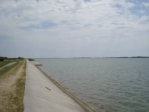 Lake Dubrava Lake, Croatia8.4 km W
-
Mur river River, Austria9.3 km E
-
Trnava Murska River, Croatia11 km N
-
Kerka River, Hungary23 km NW
-
Vereshegy Mountain, Somogy County24 km E
-
Nagykanizsa Ghetto Historic site, Zala County24 km NE
More lakes, rivers and coasts in Croatia
-
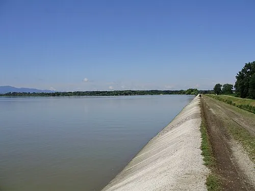 Lake Varaždin Lake, Croatia28 km W
-
Kamešnica Potok River, Croatia30 km SW
-
Komarnica River, Croatia30 km SE
-
Čivičevac River, Croatia37 km SE
-
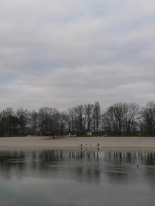 Bundek Lake, Croatia83 km SW
-
 Jezero Jarun Lake, City of Zagreb87 km SW
Sources & licences
Data last updated: · 2 independent sources