Sveta Marija
Located in Municipality of Sveta Marija, Međimurje County Coordinates: 46°19′56″ N 16°44′40″ E
- Population
- 1,374
- 1.4K
- Elevation
- 138 m
- above sea level
- Local time
- UTC+01:00
- Europe/Zagreb · UTC+01:00
- Airports
- SOB Hévíz–Balaton Airport51 km
- MBX Maribor Edvard Rusjan Airport83 km
About Sveta Marija
Sveta Marija is a city. Location: Municipality of Sveta Marija, Međimurje County. Population: 1,374. Elevation: 138 m.
Sveta Marija (Hungarian: Muraszentmária) is a village and a municipality in Međimurje County, Croatia. It is located in the south-eastern part of the county, near the Drava River, approximately 27 kilometres south-east of Čakovec and 11 kilometres east of Prelog, the largest and second-largest city of Međimurje County respectively.
Source: Wikipedia · CC BY-SA 4.0
Photos of Sveta Marija
-

Aljoša Zanze · CC BY-SA 4.0 -

Aljoša Zanze · CC BY-SA 4.0 -

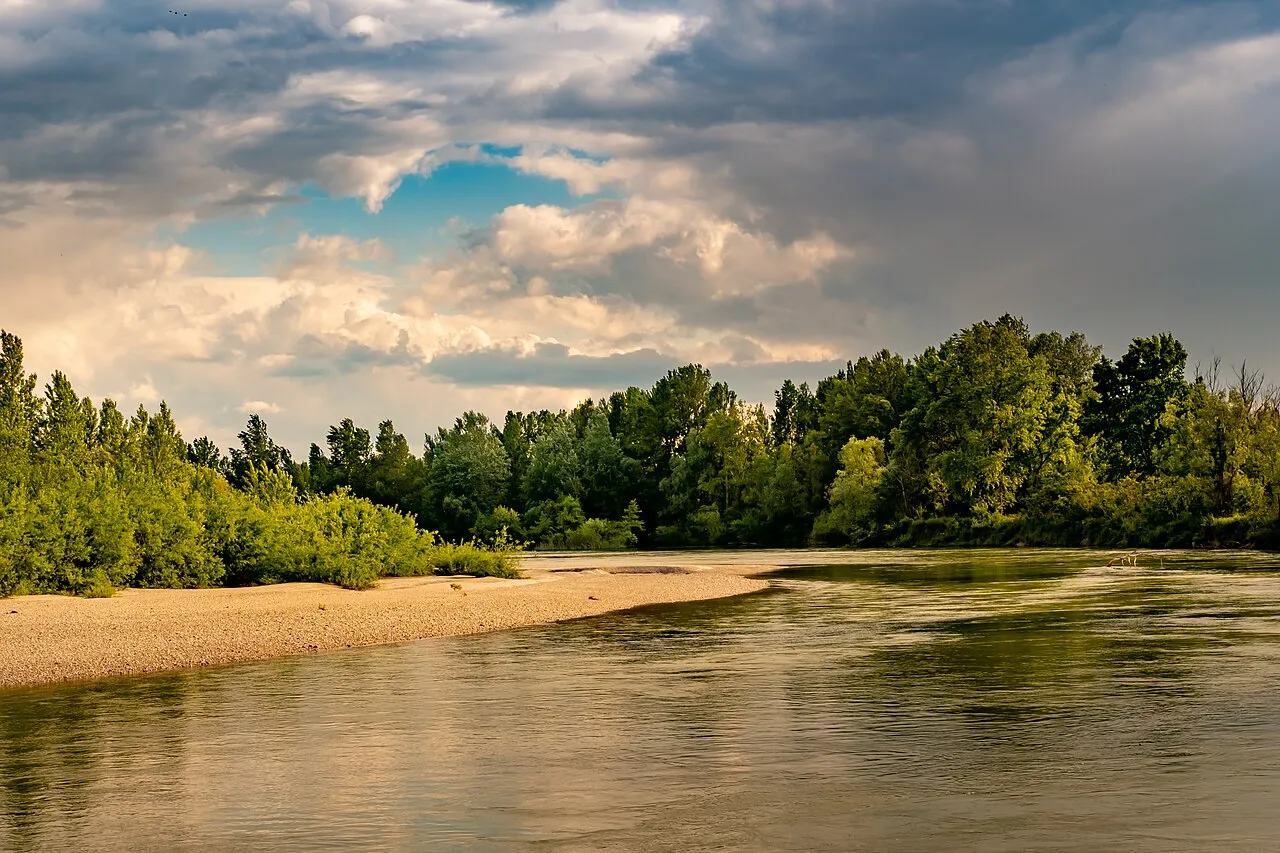
Mur river Jacquesverlaeken · CC BY-SA 3.0 -

Kerka Christian1311 · CC BY-SA 4.0 -
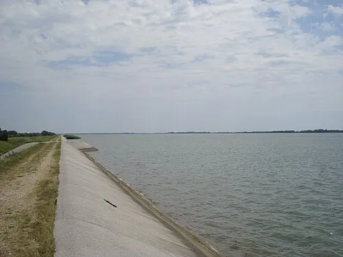
Lake Dubrava Silverije · CC BY-SA 4.0


Climate of Sveta Marija
Best months for sightseeingBest months for sightseeing: May–September.
This month · November
A cold month
Day 9° · Night 2° · Rain 77 mm
- Hottest month
- July (day 27°)
- Coldest month
- January (night -3°)
- Wettest month
- June (87 mm)
- Driest month
- February (38 mm)
Bars: average monthly low and high temperature. Below: precipitation. Monthly averages for 1970–2000 at about 18 km resolution, adjusted for elevation. Highlighted months are mild and relatively dry. Source: WorldClim 2.1 (CC BY 4.0).
Show values as a table
| Month | Jan | Feb | Mar | Apr | May | Jun | Jul | Aug | Sep | Oct | Nov | Dec |
|---|---|---|---|---|---|---|---|---|---|---|---|---|
| Average high (°C) | 3° | 6° | 11° | 16° | 22° | 25° | 27° | 26° | 22° | 16° | 9° | 4° |
| Average low (°C) | -3° | -2° | 1° | 5° | 10° | 13° | 15° | 14° | 10° | 6° | 2° | -2° |
| Precipitation (mm) | 39 | 38 | 47 | 60 | 70 | 87 | 82 | 75 | 73 | 66 | 77 | 56 |
Other places to visit in this season: May June July August September
How to get to Sveta Marija
The nearest airport is Hévíz–Balaton Airport (SOB), 51 km to the northeast as the crow flies. For international flights: Zagreb Franjo Tuđman International Airport (ZAG) (84 km). The nearest large city is Zagreb, 83 km to the southwest.
Airports
- Hévíz–Balaton Airport (SOB) Sármellék 51 kmnortheast
- Maribor Edvard Rusjan Airport (MBX) Maribor 83 kmwest
- Zagreb Franjo Tuđman International Airport (ZAG) Velika Gorica 84 kmsouthwest
Nearby large cities
- Zagreb Population: 663.6K 83 kmsouthwest
- Pécs Population: 145.3K 118 kmeast
- Graz Population: 303.3K 129 kmnorthwest
- Székesfehérvár Population: 101.6K 159 kmnortheast
- Győr Population: 129.3K 165 kmnortheast
Straight-line distances; road distances are longer. Airport data: OurAirports.
Day trips from Sveta Marija
Within 100 km: 45 historic and cultural sites, 125 natural sites, 117 lakes, rivers and coasts.
0–25 km9 places
- Ledava River 19 kmNW
- Plitvica River 3 kmS
- Lake Dubrava Lake 7 kmW
- Vereshegy Mountain 24 kmE
25–60 km19 places
- Ščavnica River 40 kmNW
- Pesnica River 51 kmW
- Kamešnica Potok River 32 kmSW
- Lake Varaždin Lake 27 kmW
60–100 km259 places
- Kašina River 67 kmSW
- Lake Ptuj Lake 65 kmW
- Jezero Pernica Lake 83 kmW
- Boč Mountain 88 kmW
Straight-line distances.
Nearby attractions & nature
Everything nearby-
 Bednja River, Croatia3.6 km S
-
Plitvica River, Croatia2.7 km S
-
 Trnava Murska River, Croatia7.1 km N
-
Lake Dubrava Lake, Croatia7.5 km W
-
Mur river River, Austria11 km E
-
Kerka River, Hungary20 km NW
-
Vereshegy Mountain, Somogy County24 km E
-
Nagykanizsa Ghetto Historic site, Zala County23 km NE
Sources & licences
Data last updated: · 2 independent sources