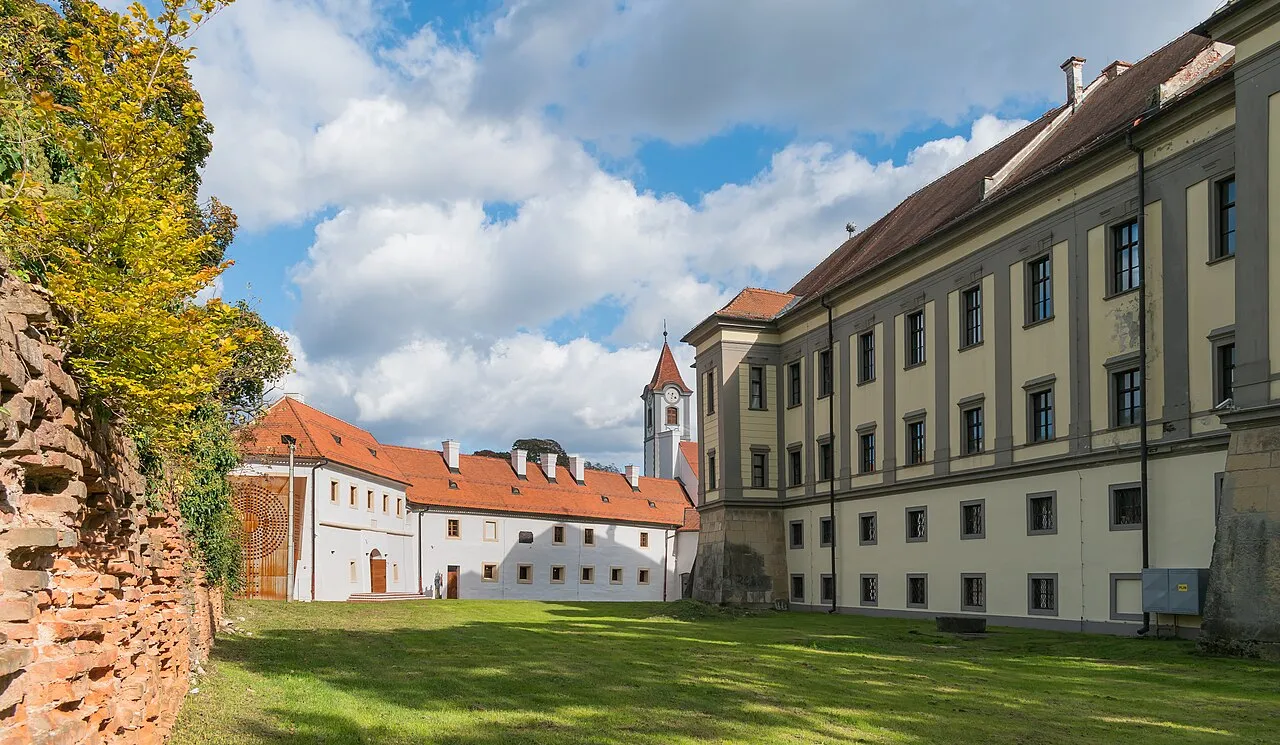
- Population
- 105,250
- 105.2K
- Elevation
- 170 m
- above sea level
- Local time
- UTC+01:00
- Europe/Zagreb · UTC+01:00
- Places inside
- 21
- listed under Međimurje County
- Airports
- SOB Hévíz–Balaton Airport59 km
- MBX Maribor Edvard Rusjan Airport63 km
About Međimurje County
Međimurje County is a region. Location: Croatia. Population: 105,250.
Međimurje County (pronounced [medʑǐmuːrje]; Croatian: Međimurska županija [medʑǐmurskaː ʒupǎnija]; Hungarian: Muraköz megye) is the northernmost county of Croatia, roughly corresponding to the historical and geographical region of Međimurje. It is the smallest Croatian county by size, and the second most densely populated after the City of Zagreb. The county's seat and main urban centre is Čakovec. The county borders Slovenia in the north-west and Hungary in the east.
Read more on Wikipedia Text: Wikipedia contributors · CC BY-SA 4.0 · shortened
Places bordering Međimurje County
- Varaždin County
- Koprivnica-Križevci County
Climate of Međimurje County
Best months for sightseeingBest months for sightseeing: May–September.
Bars: average monthly low and high temperature. Below: precipitation. Monthly averages for 1970–2000 at about 18 km resolution, adjusted for elevation. Highlighted months are mild and relatively dry. Source: WorldClim 2.1 (CC BY 4.0).
Show values as a table
| Month | Jan | Feb | Mar | Apr | May | Jun | Jul | Aug | Sep | Oct | Nov | Dec |
|---|---|---|---|---|---|---|---|---|---|---|---|---|
| Average high (°C) | 3° | 6° | 11° | 16° | 22° | 24° | 26° | 26° | 21° | 16° | 9° | 4° |
| Average low (°C) | -4° | -3° | 1° | 5° | 9° | 13° | 14° | 13° | 10° | 5° | 1° | -2° |
| Precipitation (mm) | 38 | 39 | 49 | 61 | 71 | 88 | 87 | 81 | 76 | 69 | 75 | 53 |
Other places to visit in this season: May June July August September
Airports nearest to Međimurje County
- Hévíz–Balaton Airport (SOB) Sármellék 59 km
- Maribor Edvard Rusjan Airport (MBX) Maribor 63 km
- Zagreb Franjo Tuđman International Airport (ZAG) Velika Gorica 82 km
Straight-line distance; airports with scheduled flights only. Source: OurAirports (public domain).
Places in Međimurje County
21 places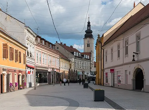
City of Čakovec
Population: 27.1K
Town of Prelog
Population: 7K
Town of Mursko Središće
Population: 5.9K
Municipality of Sveti Juraj na Bregu
Population: 4.9K
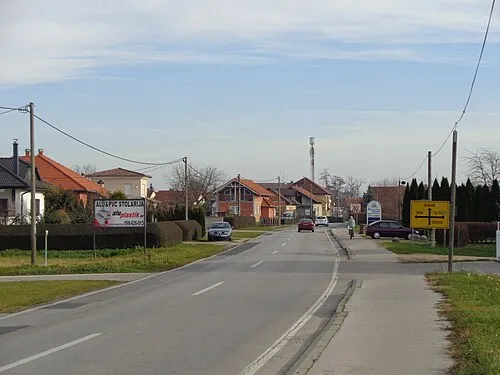
Municipality of Mala Subotica
Population: 4.3K
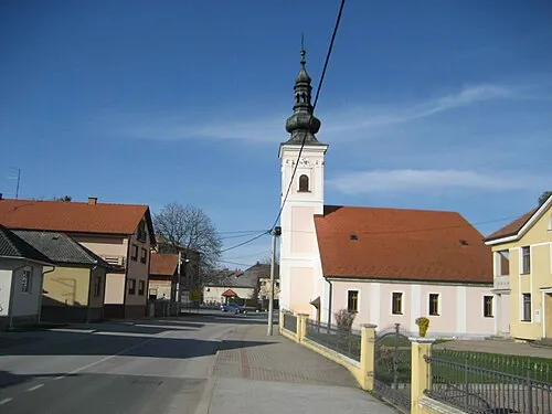
Municipality of Donji Kraljevec
Population: 4K
- 7 Municipality of Podturen 3.5K
- 8 Municipality of Pribislavec 3K
- 9 Municipality of Belica 2.8K
- 10 Municipality of Orehovica 2.7K
- 11 Municipality of Šenkovec 2.7K
- 12 Municipality of Selnica 2.6K
- 13 Municipality of Strahoninec 2.6K
- 14 Municipality of Sveti Martin 2.4K
- 15 Municipality of Goričan 2.3K
- 16 Municipality of Sveta Marija 2K
- 17 Municipality of Domašinec 1.9K
- 18 Municipality of Vratišinec 1.7K
- 19 Municipality of Donja Dubrava 1.7K
- 20 Municipality of Donji Vidovec 1.2K
- 21 Municipality of Dekanovec 739
Bar: population relative to the most populous place in this list.
Largest cities and towns
-
Čakovec City, City of Čakovec15.1K
-
Donji Kraljevec City, Municipality of Donji Kraljevec1.4K
-
 Sveta Marija City, Municipality of Sveta Marija1.4K
-
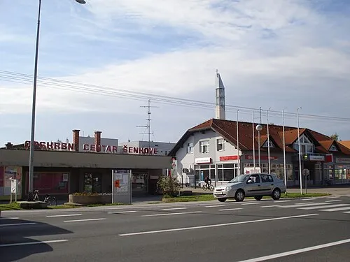 Šenkovec City, Municipality of Šenkovec2.3K
-
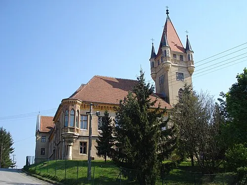 Pribislavec City, Municipality of Pribislavec3K
-
Donji Vidovec City, Municipality of Donji Vidovec1.2K
-
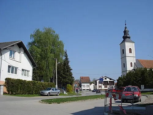 Belica City, Municipality of Belica2K
-
Strahoninec City, Municipality of Strahoninec2.6K
Other regions in Croatia
-
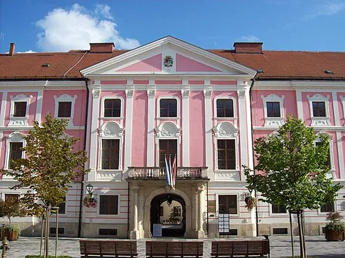 Varaždin County Region, Croatia23 km SW
-
City of Varaždin District, Varaždin County18 km SW
Sources & licences
Data last updated: · 2 independent sources