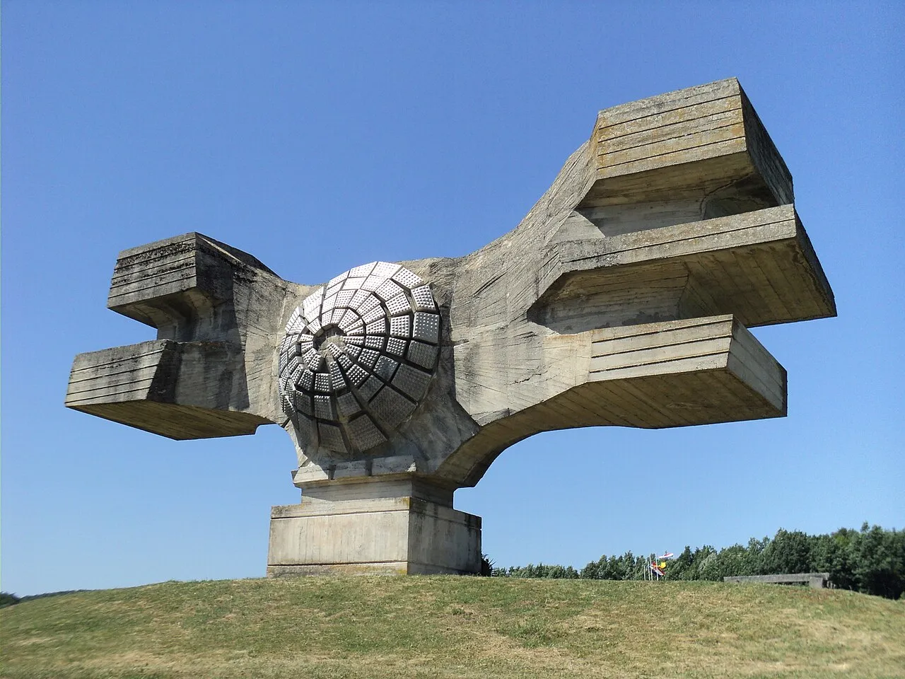
- Population
- 101,879
- 101.9K
- Elevation
- 136 m
- above sea level
- Local time
- UTC+01:00
- Europe/Zagreb · UTC+01:00
- Places inside
- 23
- listed under Bjelovar-Bilogora County
- Airports
- ZAG Zagreb Franjo Tuđman International Airport73 km
- BNX Banja Luka International Airport84 km
About Bjelovar-Bilogora County
Bjelovar-Bilogora County is a region. Location: Croatia. Population: 101,879.
Bjelovar-Bilogora County (pronounced [bjêloʋaːr-bîloɡora]; Croatian: Bjelovarsko-bilogorska županija [bjêloʋaːrsko-bîloɡorskaː ʒupǎnija]) is a county in central Croatia. The central city of Bjelovar was first mentioned in 1413, and it only gained importance when a new fort was built in 1756 to defend against the Ottoman invasions. The town was pronounced a free royal town in 1874. The other part of the county name is for the hill of Bilogora that stretches along the northern edge of the county.
Read more on Wikipedia Text: Wikipedia contributors · CC BY-SA 4.0 · shortened
Places bordering Bjelovar-Bilogora County
- Zagreb County
- Koprivnica-Križevci County
- Virovitica-Podravina County
- Požega-Slavonia County
- Sisak-Moslavina County
Climate of Bjelovar-Bilogora County
Best months for sightseeingBest months for sightseeing: May–June, September.
Bars: average monthly low and high temperature. Below: precipitation. Monthly averages for 1970–2000 at about 18 km resolution, adjusted for elevation. Highlighted months are mild and relatively dry. Source: WorldClim 2.1 (CC BY 4.0).
Show values as a table
| Month | Jan | Feb | Mar | Apr | May | Jun | Jul | Aug | Sep | Oct | Nov | Dec |
|---|---|---|---|---|---|---|---|---|---|---|---|---|
| Average high (°C) | 4° | 7° | 12° | 17° | 23° | 26° | 28° | 27° | 22° | 17° | 10° | 5° |
| Average low (°C) | -2° | -1° | 2° | 7° | 12° | 15° | 16° | 15° | 11° | 7° | 3° | -1° |
| Precipitation (mm) | 51 | 46 | 55 | 67 | 78 | 92 | 79 | 84 | 72 | 72 | 81 | 61 |
Airports nearest to Bjelovar-Bilogora County
- Zagreb Franjo Tuđman International Airport (ZAG) Velika Gorica 73 km
- Banja Luka International Airport (BNX) Mahovljani 84 km
- Pécs-Pogány International Airport (PEV) Pécs 103 km
Straight-line distance; airports with scheduled flights only. Source: OurAirports (public domain).
Places in Bjelovar-Bilogora County
23 places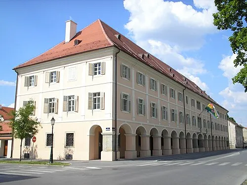
Town of Bjelovar
Population: 36.3K

Town of Daruvar
Population: 10.1K
Town of Garešnica
Population: 8.6K
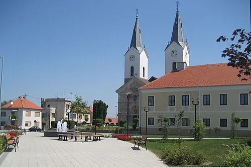
Town of Čazma
Population: 6.9K

Town of Grubišno Polje
Population: 5.4K
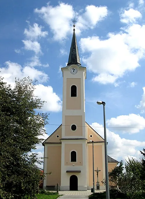
Municipality of Rovišće
Population: 4.1K
- 7 Municipality of Đulovac 2.8K
- 8 Municipality of Nova Rača 2.8K
- 9 Municipality of Veliko Trojstvo 2.4K
- 10 Municipality of Kapela 2.4K
- 11 Municipality of Veliki Grđevac 2.3K
- 12 Municipality of Ivanska 2.3K
- 13 Municipality of Dežanovac 2K
- 14 Municipality of Hercegovac 1.9K
- 15 Municipality of Končanica 1.8K
- 16 Municipality of Sirač 1.8K
- 17 Municipality of Štefanje 1.7K
- 18 Municipality of Šandrovac 1.4K
- 19 Municipality of Velika Pisanica 1.3K
- 20 Municipality of Berek 1.1K
- 21 Municipality of Velika Trnovitica 1.1K
- 22 Municipality of Zrinski Topolovac 747
- 23 Municipality of Severin 702
Bar: population relative to the most populous place in this list.
Largest cities and towns
-
Bjelovar City, Town of Bjelovar24.4K
-
Daruvar City, Town of Daruvar7.4K
-
Čazma City, Town of Čazma2.4K
-
Grubišno Polje City, Town of Grubišno Polje2.6K
-
 Veliki Grđevac City, Municipality of Veliki Grđevac1.1K
-
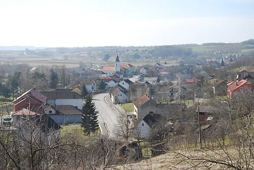 Sirač City, Municipality of Sirač1.2K
-
Rovišće City, Municipality of Rovišće1K
-
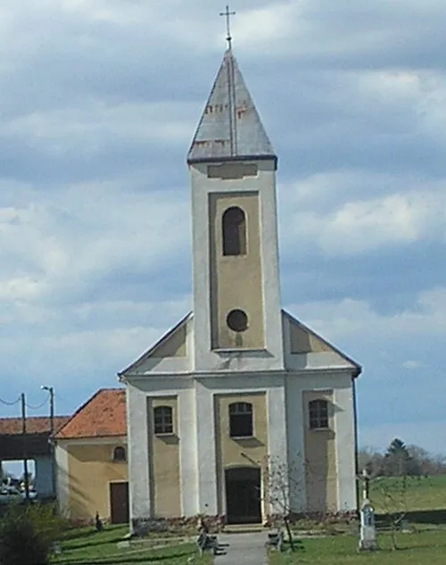 Dežanovac City, Municipality of Dežanovac608
Sources & licences
Data last updated: · 2 independent sources