Otočić Mrčara
Located in Dubrovnik-Neretva County, Croatia Coordinates: 42°46′11″ N 16°47′36″ E

- Elevation
- 11 m
- above sea level
- Local time
- UTC+01:00
- Europe/Zagreb · UTC+01:00
- Airports
- BWK Brač Airport58 km
- SPU Split Saint Jerome Airport94 km
About Otočić Mrčara
Otočić Mrčara is an island. Location: Dubrovnik-Neretva County, Croatia.
Mrčara is a small uninhabited island in the Croatian part of the Adriatic Sea, located west of the islands of Prežba and Lastovo in southern Dalmatia. Its highest peak is 123 m above sea level and its coastline is 7.8 km long. A small jetty on the east coast of the island with a small seasonal restaurant services boat traffic. In July 2011 the island hosted its first paintball game.
Source: Wikipedia · CC BY-SA 4.0
At a glance
- Area
- 1.4 km²
Source: Wikidata
Climate of Otočić Mrčara
Best months for sightseeingBest months for sightseeing: May–June, September–October.
This month · November
Outside the best season
Day 16° · Night 12° · Rain 81 mm
- Hottest month
- July (day 29°)
- Coldest month
- January (night 7°)
- Wettest month
- November (81 mm)
- Driest month
- July (17 mm)
Bars: average monthly low and high temperature. Below: precipitation. Monthly averages for 1970–2000 at about 18 km resolution, adjusted for elevation. Highlighted months are mild and relatively dry. Source: WorldClim 2.1 (CC BY 4.0).
Show values as a table
| Month | Jan | Feb | Mar | Apr | May | Jun | Jul | Aug | Sep | Oct | Nov | Dec |
|---|---|---|---|---|---|---|---|---|---|---|---|---|
| Average high (°C) | 12° | 12° | 14° | 17° | 22° | 26° | 29° | 29° | 25° | 21° | 16° | 13° |
| Average low (°C) | 7° | 7° | 9° | 11° | 16° | 19° | 22° | 22° | 19° | 16° | 12° | 9° |
| Precipitation (mm) | 74 | 61 | 62 | 49 | 38 | 28 | 17 | 35 | 52 | 72 | 81 | 71 |
Other places to visit in this season: May June September October
How to get to Otočić Mrčara
The nearest airport is Brač Airport (BWK), 58 km to the north as the crow flies. For international flights: Split Saint Jerome Airport (SPU) (94 km). The nearest large city is Split, 87 km to the north.
Airports
- Brač Airport (BWK) Gornji Humac 58 kmnorth
- Split Saint Jerome Airport (SPU) Split 94 kmnorthwest
- Mostar International Airport (OMO) Mostar 103 kmnortheast
Nearby large cities
- Split Population: 149.8K 87 kmnorth
- Rijeka Population: 108K 341 kmnorthwest
- Zagreb Population: 663.6K 345 kmnorth
- Pécs Population: 145.3K 385 kmnorth
Straight-line distances; road distances are longer. Airport data: OurAirports.
Nearest towns and villages

Nearby attractions & nature
Everything nearby-
 Otočić Prežba Island, Dubrovnik-Neretva County1.5 km E
-
 Lagosta Island Island, Dubrovnik-Neretva County6.9 km E
-
 Skrivena Luka Natural site, Croatia7.2 km SE
-
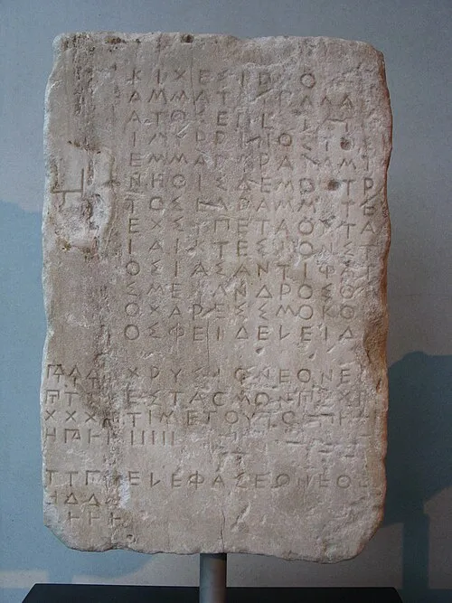 Korčula Island, Dubrovnik-Neretva County22 km NE
-
 Cazza Island Island, Dubrovnik-Neretva County23 km W
More lakes, rivers and coasts in Croatia
-
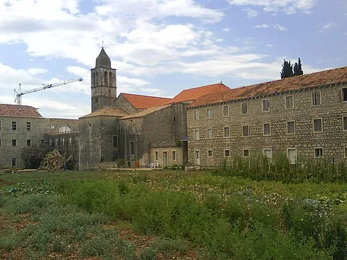 Otok Badija Island, Dubrovnik-Neretva County37 km NE
-
Mišnjak Island, Dubrovnik-Neretva County85 km E
-
Otočić Olipa Island, Dubrovnik-Neretva County80 km E
-
Tajan Island, Dubrovnik-Neretva County82 km E
-
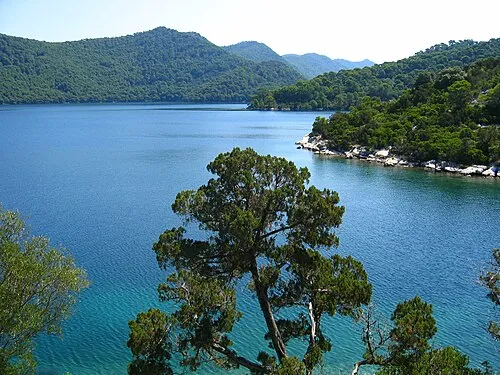 Mljet Island, Dubrovnik-Neretva County61 km E
-
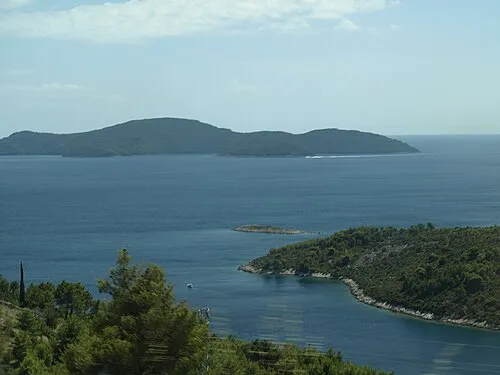 Otok Jakljan Island, Dubrovnik-Neretva County83 km E
Sources & licences
Data last updated: · 2 independent sources