Cazza Island
Located in Dubrovnik-Neretva County, Croatia Coordinates: 42°46′02″ N 16°30′57″ E

- Elevation
- 180 m
- above sea level
- Local time
- UTC+01:00
- Europe/Zagreb · UTC+01:00
- Airports
- BWK Brač Airport59 km
- SPU Split Saint Jerome Airport88 km
About Cazza Island
Cazza Island is an island. Location: Dubrovnik-Neretva County, Croatia.
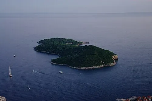
Sušac (Croatian pronunciation: [sǔːʃat͡s]) is a small rocky island in the Adriatic Sea with an area of 4.03 km2, and 16.4 km of coastline southwest of Korčula and Lastovo, on the halfway to the island of Vis, in Croatia. The coast consists of slopes and cliffs over 100 m tall, but the opposite side features a natural harbour. A 19th-century lighthouse is built on top of the island. The island is also known for its little lake, which is connected to the sea through a siphon 15 m deep.
Source: Wikipedia · CC BY-SA 4.0
At a glance
- Heritage designation
- Register of Cultural Goods of Croatia
- Area
- 4 km²
Source: Wikidata
Photos of Cazza Island
-

Argo Navis · CC BY-SA 4.0 -

Argo Navis · CC BY-SA 4.0 -

Argo Navis · CC BY-SA 4.0


Climate of Cazza Island
Best months for sightseeingBest months for sightseeing: May–October.
This month · November
Outside the best season
Day 15° · Night 11° · Rain 75 mm
- Hottest month
- July (day 28°)
- Coldest month
- February (night 7°)
- Wettest month
- November (75 mm)
- Driest month
- July (17 mm)
Bars: average monthly low and high temperature. Below: precipitation. Monthly averages for 1970–2000 at about 18 km resolution, adjusted for elevation. Highlighted months are mild and relatively dry. Source: WorldClim 2.1 (CC BY 4.0).
Show values as a table
| Month | Jan | Feb | Mar | Apr | May | Jun | Jul | Aug | Sep | Oct | Nov | Dec |
|---|---|---|---|---|---|---|---|---|---|---|---|---|
| Average high (°C) | 11° | 11° | 13° | 16° | 21° | 25° | 28° | 28° | 24° | 20° | 15° | 13° |
| Average low (°C) | 7° | 7° | 8° | 10° | 15° | 18° | 21° | 21° | 18° | 15° | 11° | 8° |
| Precipitation (mm) | 62 | 50 | 53 | 42 | 35 | 26 | 17 | 32 | 49 | 64 | 75 | 65 |
Other places to visit in this season: May June July August September October
How to get to Cazza Island
The nearest airport is Brač Airport (BWK), 59 km to the north as the crow flies. For international flights: Split Saint Jerome Airport (SPU) (88 km). The nearest large city is Split, 83 km to the north.
Airports
- Brač Airport (BWK) Gornji Humac 59 kmnorth
- Split Saint Jerome Airport (SPU) Split 88 kmnorth
- Mostar International Airport (OMO) Mostar 123 kmnortheast
Nearby large cities
- Split Population: 149.8K 83 kmnorth
- Rijeka Population: 108K 329 kmnorthwest
- Zagreb Population: 663.6K 341 kmnorth
- New Belgrade Population: 209.8K 388 kmnortheast
- Zemun Population: 155.6K 389 kmnortheast
Straight-line distances; road distances are longer. Airport data: OurAirports.
Day trips from Cazza Island
Within 100 km: 3 historic and cultural sites, 9 natural sites, 29 lakes, rivers and coasts.
0–25 km2 places
- Otočić Prežba Island 24 kmE
- Otočić Mrčara Island 23 kmE
25–60 km11 places
- Lagosta Island Island 29 kmE
- Skrivena Luka Natural site 29 kmE
- Otok Biševo Island 47 kmNW
- Otok Šćedro Island 39 kmNE
60–100 km28 places
- Brač Island 62 kmN
- Šolta Island 71 kmN
- Mljet Island 84 kmE
- Otok Mali Drvenik Island 84 kmNW
Straight-line distances.
Nearest towns and villages
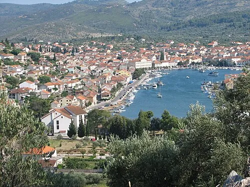
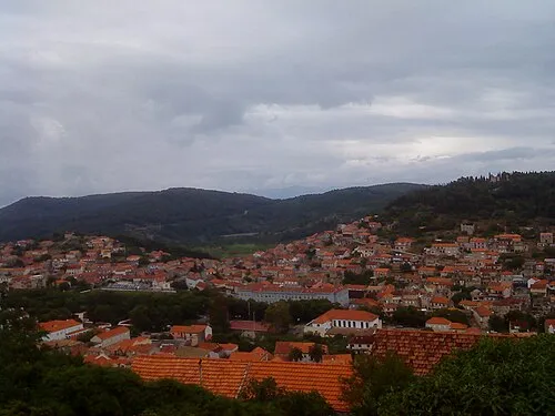

Nearby attractions & nature
Everything nearby-
 Otočić Mrčara Island, Dubrovnik-Neretva County23 km E
-
 Otočić Prežba Island, Dubrovnik-Neretva County24 km E
More lakes, rivers and coasts in Croatia
-
 Lagosta Island Island, Dubrovnik-Neretva County29 km E
-
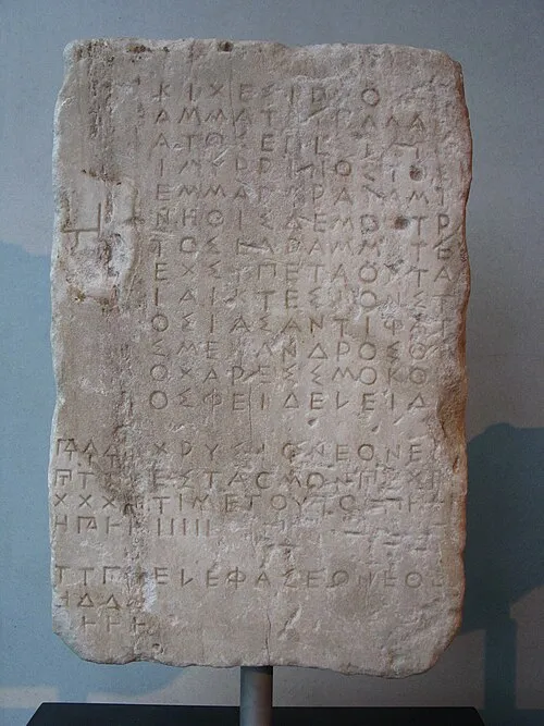 Korčula Island, Dubrovnik-Neretva County39 km NE
-
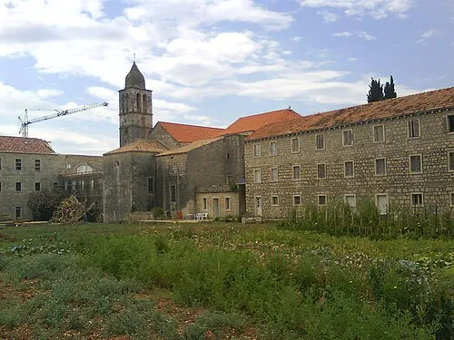 Otok Badija Island, Dubrovnik-Neretva County57 km E
-
Mišnjak Island, Dubrovnik-Neretva County108 km E
-
 Daksa Island, Dubrovnik-Neretva County127 km E
-
 Lacroma Island, Dubrovnik-Neretva County132 km E
Sources & licences
Data last updated: · 2 independent sources