- Elevation
- 113 m
- above sea level
- Local time
- UTC+01:00
- Europe/Zagreb · UTC+01:00
- Airports
- ZAG Zagreb Franjo Tuđman International Airport30 km
- MBX Maribor Edvard Rusjan Airport95 km
About Glogovnica
Glogovnica is a river. Location: Croatia.
Glogovnica is a river in central Croatia, a right tributary of Česma. It is 64.5 kilometres (40.1 mi) long. Glogovnica rises in the southeastern part of Kalnik near the village of Apatovac, and flows towards the south, passing east of the eponymous villages of Donja Glogovnica and Gornja Glogovnica, as well as the city of Križevci, turning slightly to the southwest. It passes near Gradec, where it becomes a series of man-made drainage canals and receives influx from the right tributary of Črnec.
Read more on Wikipedia Text: Wikipedia contributors · CC BY-SA 4.0 · shortened
At a glance
- Length
- 66 km
Source: Wikidata
Climate of Glogovnica
Best months for sightseeingBest months for sightseeing: May–September.
Bars: average monthly low and high temperature. Below: precipitation. Monthly averages for 1970–2000 at about 18 km resolution, adjusted for elevation. Highlighted months are mild and relatively dry. Source: WorldClim 2.1 (CC BY 4.0).
Show values as a table
| Month | Jan | Feb | Mar | Apr | May | Jun | Jul | Aug | Sep | Oct | Nov | Dec |
|---|---|---|---|---|---|---|---|---|---|---|---|---|
| Average high (°C) | 3° | 6° | 12° | 16° | 22° | 25° | 27° | 26° | 22° | 16° | 9° | 4° |
| Average low (°C) | -3° | -2° | 2° | 6° | 10° | 14° | 15° | 14° | 11° | 6° | 2° | -2° |
| Precipitation (mm) | 49 | 47 | 55 | 65 | 75 | 90 | 77 | 81 | 78 | 80 | 84 | 63 |
Other places to visit in this season: May June July August September
Airports nearest to Glogovnica
- Zagreb Franjo Tuđman International Airport (ZAG) Velika Gorica 30 km
- Maribor Edvard Rusjan Airport (MBX) Maribor 95 km
- Hévíz–Balaton Airport (SOB) Sármellék 112 km
Straight-line distance; airports with scheduled flights only. Source: OurAirports (public domain).
Nearest towns and villages
-
Poljanski Lug Village, Town of Vrbovec2.7 km NW
-
Čemernica Lonjska Village, Municipality of Kloštar Ivanić5.1 km SW
-
Prilesje Village, Town of Vrbovec6.1 km N
-
Kloštar Ivanić City, Municipality of Kloštar Ivanić7.6 km S
-
Brčevec Village, Town of Vrbovec7.2 km NW
-
Dubrava City, Municipality of Dubrava7.7 km NE
Nearby attractions & nature
Everything nearby-
Kašina River, Croatia17 km W
-
Glavničica River, Croatia19 km W
-
Lonja River, Croatia24 km S
More lakes, rivers and coasts in Croatia
-
Česma River, Sisak-Moslavina County26 km S
-
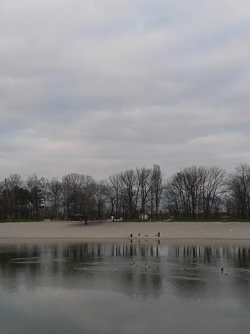 Bundek Lake, Croatia36 km W
-
Kamešnica Potok River, Croatia32 km N
-
 Jezero Jarun Lake, City of Zagreb41 km W
-
Sredska River, Croatia34 km E
-
Odra River, Croatia35 km S
Sources & licences
Data last updated: · 2 independent sources