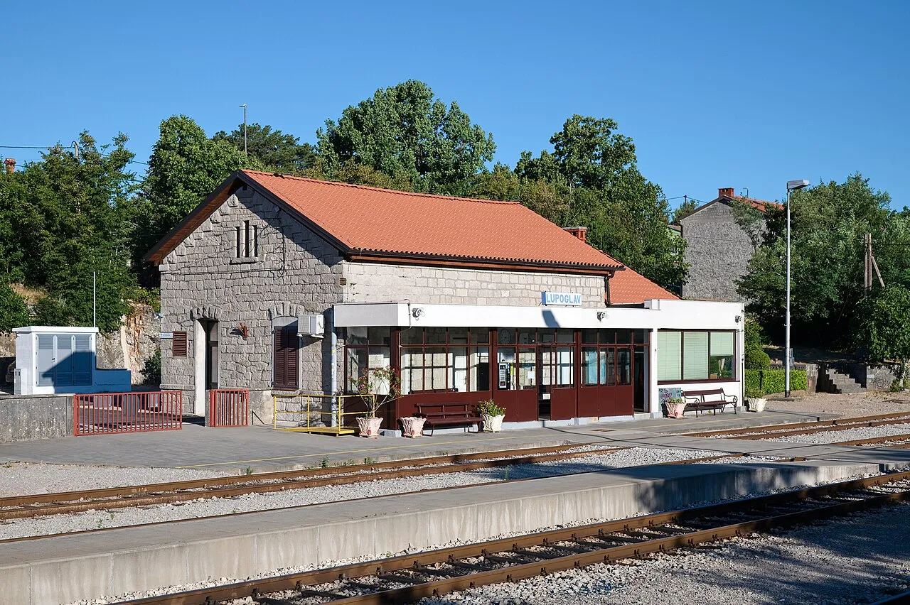
Lupoglav
Located in Municipality of Lupoglav, Istria County Coordinates: 45°21′10″ N 14°06′27″ E
- Population
- 298
- 298
- Elevation
- 400 m
- above sea level
- Local time
- UTC+01:00
- Europe/Zagreb · UTC+01:00
- Airports
- RJK Rijeka Airport39 km
- PUY Pula Airport53 km
About Lupoglav
Lupoglav is a city. Location: Municipality of Lupoglav, Istria County. Population: 298. Elevation: 400 m.
Lupoglav (Italian: Lupogliano) is a municipality and village in Istria, Croatia. The Lupoglav Municipality is situated on the northeast of the Istrian Region. To the east it borders with the Primorsko-Goranska County and with the Istrian municipalities of Lanišće and Cerovlje and the City of Buzet. The municipality is crossed by the arterial roads that connect the Istrian region with the rest of Croatia – the Istrian Y and the tunnel of Učka. The municipality has a surface area of 92.19 km2, i.e.
Source: Wikipedia · CC BY-SA 4.0
Photos of Lupoglav
-

Silverije · CC BY-SA 4.0 -

Frane Lovošević · CC BY-SA 3.0 -

Frane Lovošević · CC BY-SA 3.0 -

Stefan.lefnaer · CC BY-SA 4.0 -

Stefan.lefnaer · CC BY-SA 4.0


Climate of Lupoglav
Best months for sightseeingBest months for sightseeing: June–September.
This month · November
A wet month
Day 11° · Night 5° · Rain 178 mm
- Hottest month
- August (day 26°)
- Coldest month
- January (night 0°)
- Wettest month
- November (178 mm)
- Driest month
- July (90 mm)
Bars: average monthly low and high temperature. Below: precipitation. Monthly averages for 1970–2000 at about 18 km resolution, adjusted for elevation. Highlighted months are mild and relatively dry. Source: WorldClim 2.1 (CC BY 4.0).
Show values as a table
| Month | Jan | Feb | Mar | Apr | May | Jun | Jul | Aug | Sep | Oct | Nov | Dec |
|---|---|---|---|---|---|---|---|---|---|---|---|---|
| Average high (°C) | 6° | 7° | 10° | 13° | 18° | 22° | 25° | 26° | 21° | 17° | 11° | 8° |
| Average low (°C) | 0° | 0° | 2° | 5° | 10° | 13° | 15° | 16° | 12° | 9° | 5° | 1° |
| Precipitation (mm) | 112 | 92 | 113 | 126 | 114 | 132 | 90 | 113 | 128 | 160 | 178 | 147 |
Other places to visit in this season: June July August September
How to get to Lupoglav
The nearest airport is Rijeka Airport (RJK), 39 km to the southeast as the crow flies. The nearest large city is Rijeka, 26 km to the east.
Airports
- Rijeka Airport (RJK) Rijeka(Omišalj) 39 kmsoutheast
- Pula Airport (PUY) Pula 53 kmsouth
- Trieste Airport (TRS) Ronchi dei Legionari/Trieste 73 kmnorthwest
Nearby large cities
- Rijeka Population: 108K 26 kmeast
- Ljubljana Population: 272.2K 84 kmnorth
- Klagenfurt Population: 100.3K 142 kmnorth
- Zagreb Population: 663.6K 155 kmeast
- Graz Population: 303.3K 217 kmnortheast
Straight-line distances; road distances are longer. Airport data: OurAirports.
Day trips from Lupoglav
Within 100 km: 13 historic and cultural sites, 69 natural sites, 63 lakes, rivers and coasts.
0–25 km3 places
- Slavnik Mountain 23 kmNW
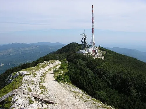
- Učka Mountain 13 kmSE
- Ćićarija Mountain 10 kmN
25–60 km74 places
- Krk Island 51 kmSE
- Uvala Stipanja Natural site 49 kmSE
- Otočić Košljun Island 54 kmSE
- Raša River 54 kmN
60–100 km68 places
- Lošinj Island 88 kmS
- Otočić Srakane Vele Island 87 kmS
- Šmarna gora Mountain 91 kmN
- Porezen Mountain 92 kmN
Straight-line distances.
Nearby attractions & nature
Everything nearby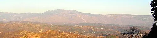
Sources & licences
Data last updated: · 2 independent sources