Krapina
Located in Town of Krapina, Krapina-Zagorje County Coordinates: 46°09′39″ N 15°52′25″ E
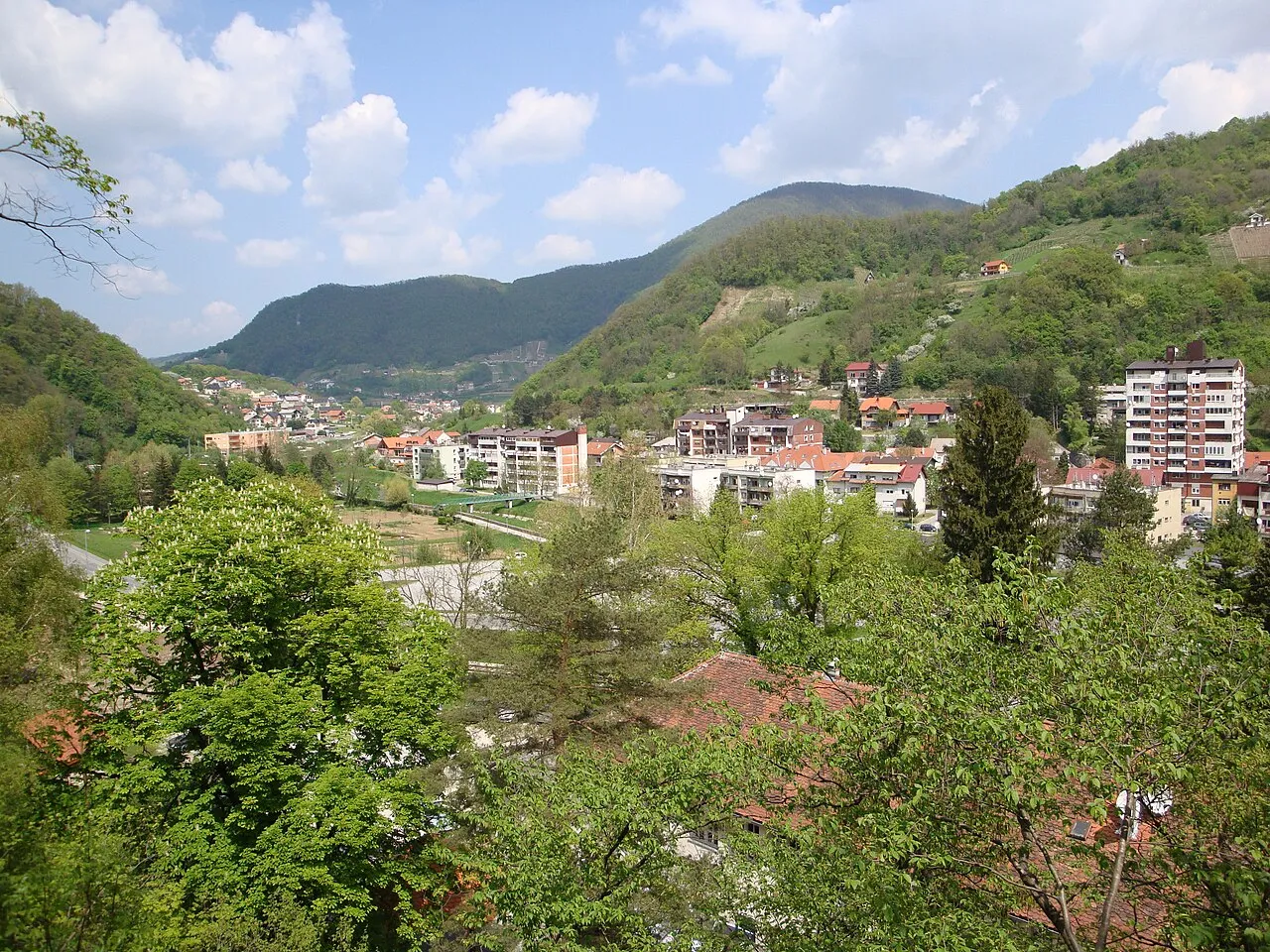
- Population
- 4,201
- 4.2K
- Elevation
- 247 m
- above sea level
- Local time
- UTC+01:00
- Europe/Zagreb · UTC+01:00
- Airports
- MBX Maribor Edvard Rusjan Airport38 km
- ZAG Zagreb Franjo Tuđman International Airport49 km
About Krapina
Krapina is a city. Location: Town of Krapina, Krapina-Zagorje County. Population: 4,201. Elevation: 247 m. The best months to visit are May–September. The nearest airport is Maribor Edvard Rusjan Airport (38 km). Nearby sights include Žutnica and Ivanšćica.
Photos of Krapina
-

Ma ▀ ▄ Ga · CC BY 4.0 -

Sandor Bordas · CC BY-SA 3.0 -

Dorianbezak · CC BY-SA 4.0 -

Zeitblick · CC BY-SA 3.0 -

Zeitblick · CC BY-SA 3.0


Travel notes for Krapina
From Wikivoyage
Krapina is a city in Central Croatia.
Understand+
Krapina is a small town in northern Croatia and also an administrative and cultural centre of Krapinsko-zagorska county. It is administrative centre of Krapinsko-zagorska county located approximately 55 km from Zagreb, Croatia's capital. The city is first mentioned in 1193 but has even longer history.
Get in+
By train – a railway connects Krapina and Zagreb. The train ride takes from 1hr 30 min up to 2 hr depending on the train category, half a dozen trains daily, most requiring a change of train in Zabok. The price is €5.06 (one way)
By bus – the bus leaves from Autobusni kolodvor Zagreb and the ride takes about 1 hr. It will cost you €7.17.
By car – it takes you about 50 minutes if you use an A2 highway (exit Krapina) but it will cost you about €10; other route is on Zagorska magistrala (Zagreb-Zabok-Krapina). It takes longer (about 1hr 15 min) but you don't pay toll.
Source: Wikivoyage · CC BY-SA 4.0 · abridged
Climate of Krapina
Best months for sightseeingBest months for sightseeing: May–September.
This month · November
A cold month
Day 8° · Night 1° · Rain 96 mm
- Hottest month
- July (day 26°)
- Coldest month
- January (night -4°)
- Wettest month
- June (115 mm)
- Driest month
- January (49 mm)
Bars: average monthly low and high temperature. Below: precipitation. Monthly averages for 1970–2000 at about 18 km resolution, adjusted for elevation. Highlighted months are mild and relatively dry. Source: WorldClim 2.1 (CC BY 4.0).
Show values as a table
| Month | Jan | Feb | Mar | Apr | May | Jun | Jul | Aug | Sep | Oct | Nov | Dec |
|---|---|---|---|---|---|---|---|---|---|---|---|---|
| Average high (°C) | 3° | 6° | 11° | 16° | 21° | 24° | 26° | 25° | 21° | 15° | 8° | 4° |
| Average low (°C) | -4° | -3° | 1° | 5° | 9° | 12° | 14° | 14° | 10° | 5° | 1° | -2° |
| Precipitation (mm) | 49 | 52 | 68 | 74 | 86 | 115 | 96 | 98 | 97 | 96 | 96 | 71 |
Other places to visit in this season: May June July August September
How to get to Krapina
The nearest airport is Maribor Edvard Rusjan Airport (MBX), 38 km to the north as the crow flies. For international flights: Zagreb Franjo Tuđman International Airport (ZAG) (49 km). The nearest large city is Zagreb, 39 km to the south.
Airports
- Maribor Edvard Rusjan Airport (MBX) Maribor 38 kmnorth
- Zagreb Franjo Tuđman International Airport (ZAG) Velika Gorica 49 kmsouth
- Graz Airport (GRZ) Feldkirchen bei Graz 98 kmnorth
Nearby large cities
- Zagreb Population: 663.6K 39 kmsouth
- Graz Population: 303.3K 106 kmnorth
- Ljubljana Population: 272.2K 107 kmwest
- Klagenfurt Population: 100.3K 131 kmnorthwest
- Rijeka Population: 108K 145 kmsouthwest
Straight-line distances; road distances are longer. Airport data: OurAirports.
Day trips from Krapina
Within 100 km: 59 historic and cultural sites, 205 natural sites, 211 lakes, rivers and coasts.
0–25 km9 places
- Polskava River 23 kmN
- Ložnica River 24 kmNW
- Dravinja River 24 kmN
- Lake Trakoščan Lake 12 kmNE
25–60 km38 places
- Kašina River 45 kmSE
- Pohorje Mountain 52 kmNW
- Ščavnica River 52 kmNE
- Krka River 36 kmSW
60–100 km428 places
- Ribnica Lake Lake 60 kmNW
- Mala Gora Mountain 98 kmSW
- Ledava River 66 kmNE
- Rača River 97 kmW
Straight-line distances.
Nearby attractions & nature
Everything nearby-
Žutnica River, Croatia2.6 km N
-
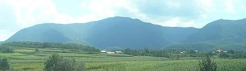 Ivanšćica Mountain, Varaždin County20 km E
-
 Dravinja River, Slovenia24 km N
-
 Polskava River, Slovenia23 km N
-
Lake Trakoščan Lake, Municipality of Bednja12 km NE
-
 Ložnica River, Slovenia24 km NW
-
Brezna River, Croatia19 km W
-
Ivanscica Mountain, Town of Ivanec20 km E
Sources & licences
Data last updated: