Majur
Located in Municipality of Majur, Sisak-Moslavina County Coordinates: 45°15′18″ N 16°31′55″ E
- Population
- 272
- 272
- Elevation
- 163 m
- above sea level
- Local time
- UTC+01:00
- Europe/Zagreb · UTC+01:00
- Airports
- ZAG Zagreb Franjo Tuđman International Airport65 km
- BNX Banja Luka International Airport70 km
About Majur
Majur is a city. Location: Municipality of Majur, Sisak-Moslavina County. Population: 272. Elevation: 163 m.
Majur is a settlement and a municipality in central Croatia in the Sisak-Moslavina County. It has a population of 1,185, 70.04% of whom are Croats (2011 census) and 27.26% are ethnic Serbs. By census 1991 Serbs were a majority 1,381 (54.05%), followed by Croats 1,036 (40.54%), Yugoslavs 72 (2.81%) and others 66 (2.58%). Majur is underdeveloped municipality which is statistically classified as the First Category Area of Special State Concern by the Government of Croatia.
Source: Wikipedia · CC BY-SA 4.0
Climate of Majur
Best months for sightseeingBest months for sightseeing: May–September.
This month · November
A cold month
Day 10° · Night 2° · Rain 97 mm
- Hottest month
- July (day 27°)
- Coldest month
- January (night -3°)
- Wettest month
- November (97 mm)
- Driest month
- February (59 mm)
Bars: average monthly low and high temperature. Below: precipitation. Monthly averages for 1970–2000 at about 18 km resolution, adjusted for elevation. Highlighted months are mild and relatively dry. Source: WorldClim 2.1 (CC BY 4.0).
Show values as a table
| Month | Jan | Feb | Mar | Apr | May | Jun | Jul | Aug | Sep | Oct | Nov | Dec |
|---|---|---|---|---|---|---|---|---|---|---|---|---|
| Average high (°C) | 4° | 7° | 12° | 16° | 21° | 25° | 27° | 27° | 22° | 17° | 10° | 5° |
| Average low (°C) | -3° | -2° | 2° | 6° | 10° | 13° | 15° | 14° | 11° | 7° | 2° | -1° |
| Precipitation (mm) | 62 | 59 | 69 | 82 | 86 | 96 | 88 | 89 | 87 | 90 | 97 | 78 |
Other places to visit in this season: May June July August September
How to get to Majur
The nearest airport is Zagreb Franjo Tuđman International Airport (ZAG), 65 km to the northwest as the crow flies. The nearest large city is Banja Luka, 75 km to the southeast.
Airports
- Zagreb Franjo Tuđman International Airport (ZAG) Velika Gorica 65 kmnorthwest
- Banja Luka International Airport (BNX) Mahovljani 70 kmsoutheast
- Maribor Edvard Rusjan Airport (MBX) Maribor 151 kmnorthwest
Nearby large cities
- Banja Luka Population: 221.1K 75 kmsoutheast
- Zagreb Population: 663.6K 76 kmnorthwest
- Zenica Population: 164.4K 160 kmsoutheast
- Pécs Population: 145.3K 161 kmnortheast
- Rijeka Population: 108K 164 kmwest
Straight-line distances; road distances are longer. Airport data: OurAirports.
Day trips from Majur
Within 100 km: 8 historic and cultural sites, 63 natural sites, 59 lakes, rivers and coasts.
0–25 km4 places
- Kamenik Mountain 12 kmS
- Sunja River 21 kmE
- Lonjsko Polje Nature Park Natural site 24 kmNE
- Ilova River 24 kmNE
25–60 km32 places
- Čot Mountain 43 kmSE
- Tavan Mountain 38 kmS
- Strmac Mountain 38 kmSE
- Mačkovac Mountain 52 kmS
60–100 km94 places
- Kašina River 69 kmN
- Birovača Mountain 87 kmSW
- Oštrelj Mountain 64 kmS
- Klepalo Mountain 93 kmSE
Straight-line distances.
Nearby attractions & nature
Everything nearby-
Sunja River, Sisak-Moslavina County21 km E
-
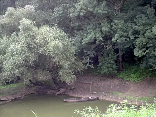 Lonjsko Polje Nature Park Natural site, Croatia24 km NE
-
 Ilova River, Sisak-Moslavina County24 km NE
Sources & licences
Data last updated: · 2 independent sources