
- Elevation
- 18 m
- above sea level
- Local time
- UTC+01:00
- Europe/Zagreb · UTC+01:00
- Airports
- SPU Split Saint Jerome Airport84 km
- BWK Brač Airport101 km
About Otočić Jabuka
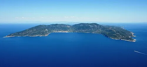
Otočić Jabuka is an island. Location: Split-Dalmatia County, Croatia.
Jabuka (pronounced [jâbuka], which means apple in Croatian) is an uninhabited volcanic island in the Adriatic Sea, west of the island of Vis. It is part of the Dalmatian archipelago. The closest land masses are the small islands of Svetac and Brusnik. Jabuka is the furthest from the nearest land mass out of all Croatian islands.
Read more on Wikipedia Text: Wikipedia contributors · CC BY-SA 4.0 · shortened
At a glance
- Area
- 22 ha
Source: Wikidata
Climate of Otočić Jabuka
Best months for sightseeingBest months for sightseeing: May–July, September–October.
Bars: average monthly low and high temperature. Below: precipitation. Monthly averages for 1970–2000 at about 18 km resolution, adjusted for elevation. Highlighted months are mild and relatively dry. Source: WorldClim 2.1 (CC BY 4.0).
Show values as a table
| Month | Jan | Feb | Mar | Apr | May | Jun | Jul | Aug | Sep | Oct | Nov | Dec |
|---|---|---|---|---|---|---|---|---|---|---|---|---|
| Average high (°C) | 12° | 12° | 14° | 17° | 21° | 26° | 28° | 28° | 25° | 20° | 16° | 14° |
| Average low (°C) | 8° | 7° | 8° | 11° | 15° | 19° | 21° | 21° | 18° | 15° | 11° | 9° |
| Precipitation (mm) | 48 | 40 | 44 | 42 | 33 | 31 | 18 | 32 | 51 | 58 | 67 | 58 |
Other places to visit in this season: May June July September October
Airports nearest to Otočić Jabuka
- Split Saint Jerome Airport (SPU) Split 84 km
- Brač Airport (BWK) Gornji Humac 101 km
- Zadar Airport (ZAD) Zadar 112 km
Straight-line distance; airports with scheduled flights only. Source: OurAirports (public domain).
Nearest towns and villages
More lakes, rivers and coasts in Croatia
-
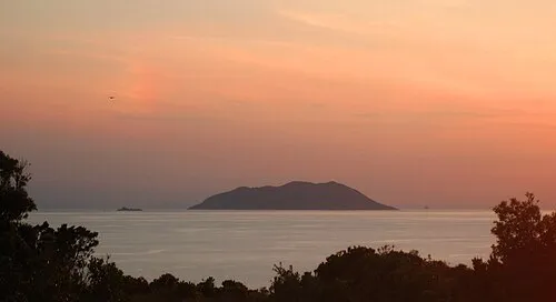 Otok Svetac Island, Split-Dalmatia County25 km E
-
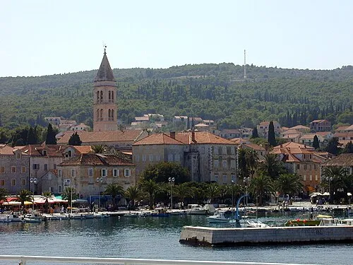 Brač Island, Split-Dalmatia County99 km E
-
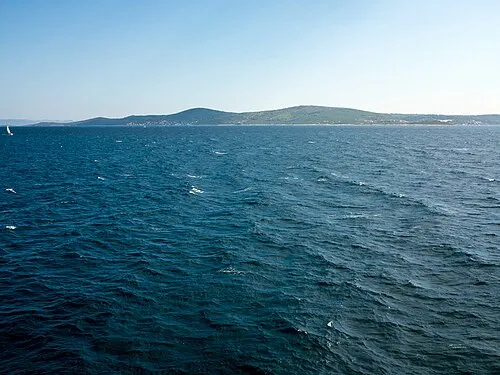 Šolta Island, Split-Dalmatia County75 km NE
-
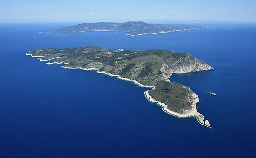 Otok Biševo Island, Split-Dalmatia County47 km E
-
 Vis Island, Split-Dalmatia County57 km E
-
 Otok Mali Drvenik Island, Split-Dalmatia County64 km NE
Sources & licences
Data last updated: · 2 independent sources