Arrondissement of Thonon-les-Bains
Located in Upper Savoy, Auvergne-Rhône-Alpes Coordinates: 46°17′22″ N 6°33′52″ E
- Population
- 159,140
- 159.1K
- Elevation
- 1,170 m
- above sea level
- Local time
- UTC+01:00
- Europe/Paris · UTC+01:00
- Places inside
- 70
- listed under Arrondissement of Thonon-les-Bains
- Airports
- GVA Geneva International Airport36 km
- NCY Annecy Meythet airport54 km
About Arrondissement of Thonon-les-Bains
Arrondissement of Thonon-les-Bains is a municipality. Location: Upper Savoy, Auvergne-Rhône-Alpes. Population: 159,140. Elevation: 1,170 m. The best months to visit are July–August. The nearest airport is Geneva International Airport (36 km). Nearby sights include Torrent le Brévon and Dranse d'Abondance.
Photos of Arrondissement of Thonon-les-Bains
-
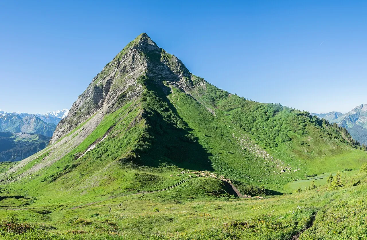
Pointe de Nantaux Krzysztof Golik · CC BY-SA 4.0 -
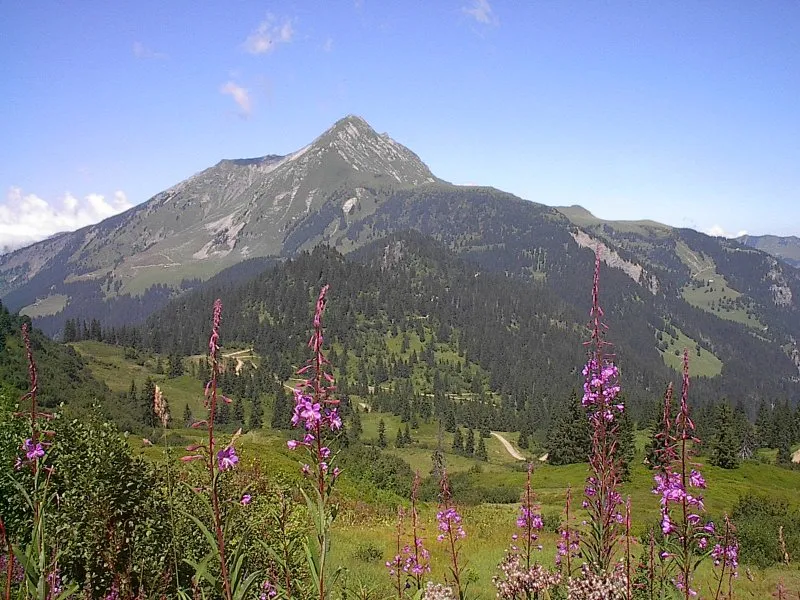
Mont de Grange The original uploader was JJRoland at French Wikipedia · CC BY-SA 2.5 -
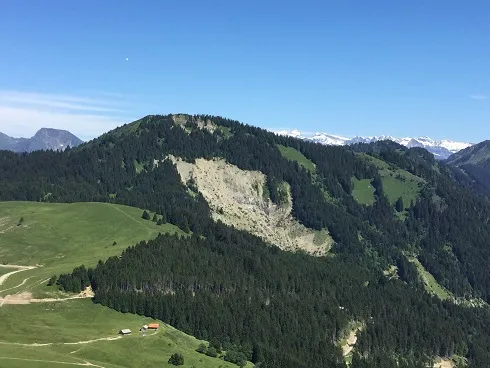
Pointe de la Gay Fachimiar · CC BY-SA 4.0 -
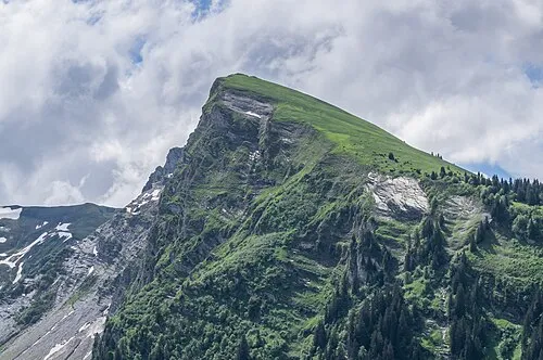
Pointe de Ressachaux Krzysztof Golik · CC BY-SA 4.0 -
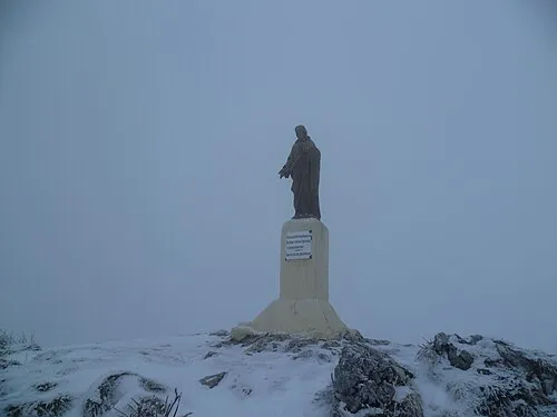
Sur la Pointe Sissssou · CC BY-SA 3.0


Climate of Arrondissement of Thonon-les-Bains
Best months for sightseeingBest months for sightseeing: July–August.
This month · November
A wet month
Day 6° · Night -1° · Rain 135 mm
- Hottest month
- July (day 20°)
- Coldest month
- January (night -4°)
- Wettest month
- December (140 mm)
- Driest month
- April (100 mm)
Bars: average monthly low and high temperature. Below: precipitation. Monthly averages for 1970–2000 at about 18 km resolution, adjusted for elevation. Highlighted months are mild and relatively dry. Source: WorldClim 2.1 (CC BY 4.0).
Show values as a table
| Month | Jan | Feb | Mar | Apr | May | Jun | Jul | Aug | Sep | Oct | Nov | Dec |
|---|---|---|---|---|---|---|---|---|---|---|---|---|
| Average high (°C) | 2° | 3° | 6° | 9° | 14° | 17° | 20° | 20° | 17° | 11° | 6° | 3° |
| Average low (°C) | -4° | -4° | -2° | 0° | 5° | 8° | 10° | 10° | 7° | 4° | -1° | -3° |
| Precipitation (mm) | 125 | 128 | 102 | 100 | 110 | 125 | 106 | 106 | 106 | 120 | 135 | 140 |
How to get to Arrondissement of Thonon-les-Bains
The nearest airport is Geneva International Airport (GVA), 36 km to the west as the crow flies. The nearest large city is Lausanne, 26 km to the north.
Airports
- Geneva International Airport (GVA) Geneva 36 kmwest
- Annecy Meythet airport (NCY) Annecy 54 kmsouthwest
- Chambéry Aix les Bains airport (CMF) Chambéry 90 kmsouthwest
Nearby large cities
- Lausanne Population: 139.1K 26 kmnorth
- Geneva Population: 201.7K 34 kmwest
- Bern Population: 121.6K 100 kmnortheast
- Besançon Population: 128.4K 115 kmnorth
- Grenoble Population: 158.6K 140 kmsouthwest
Straight-line distances; road distances are longer. Airport data: OurAirports.
Day trips from Arrondissement of Thonon-les-Bains
Within 100 km: 154 historic and cultural sites, 2,954 natural sites, 459 lakes, rivers and coasts.
0–25 km197 places
- Lake Leman Lake 18 kmNW
- Lac de Recon Lake 21 kmE
- Lac de Tanay Lake 22 kmE
- Lac de Morgins Lake 22 kmE
25–60 km1,233 places
- Ile de Salagnon Island 30 kmNE
- Lac de Joux Lake 44 kmNW
- Lac de la Gruyère Lake 58 kmNE
- Lac de Fully Lake 43 kmE
60–100 km2,137 places
- Sankt Petersinsel Island 98 kmNE
- Ile d'Ogoz Island 61 kmNE
- Lake Wohlen Lake 95 kmNE
- Lake Thun Lake 99 kmNE
Straight-line distances.
Arrondissement of Thonon-les-Bains and similar cities
Side by side with cities of similar size in the same country: population, elevation and climate.
| Measure | Arrondissement of Thonon-les-Bains | Paris 17 Batignolles-Monceau | Paris 16 Passy | Grenoble |
|---|---|---|---|---|
| Population | 159.1K | 159.2K | 159.4K | 158.6K |
| Elevation | 1,170 m | 61 m | 67 m | 218 m |
| Summer day (hottest month) | 20° | 25° | 25° | 28° |
| Winter night (coldest month) | -4° | 2° | 2° | 1° |
| Annual rainfall | 1,403 mm | 632 mm | 632 mm | 1,129 mm |
| Best months | Jul–Aug | May–Sep | May–Sep | May–Jun, Aug–Sep |
| Distance | — | 430 km | 431 km | 140 km |
Climate values are 1970–2000 monthly averages; straight-line distance.
Places in Arrondissement of Thonon-les-Bains
70 places- 1 Thonon-les-Bains 35.1K
- 2 Évian-les-Bains 9.1K
- 3 Publier 7.1K
- 4 Douvaine 5.9K
- 5 Sciez 5.9K
- 6 Bons-en-Chablais 5.6K
- 7 Allinges 4.4K
- 8 Veigy-Foncenex 3.6K
- 9 Neuvecelle 3K
- 10 Morzine 2.8K
- 11 Chens-sur-Léman 2.7K
- 12 Lugrin 2.4K
- 13 Saint-Paul-en-Chablais 2.4K
- 14 Messery 2.2K
- 15 Anthy-sur-Léman 2.2K
- 16 Margencel 2.1K
- 17 Perrignier 1.8K
- 18 Marin 1.8K
- 19 Boëge 1.7K
- 20 Lyaud 1.7K
- 21 Massongy 1.5K
- 22 Loisin 1.5K
- 23 Ballaison 1.5K
- 24 Habère-Poche 1.4K
- 25 Abondance 1.4K
- 26 Féternes 1.4K
- 27 Larringes 1.4K
- 28 Maxilly-sur-Léman 1.4K
- 29 Saint-Jean-d'Aulps 1.3K
- 30 Bernex 1.3K
- 31 Armoy 1.3K
- 32 Bellevaux 1.3K
- 33 Les Gets 1.2K
- 34 Châtel 1.2K
- 35 Cervens 1.2K
- 36 Excenevex 1.1K
- 37 Bogève 1.1K
- 38 Brenthonne 1K
- 39 Habère-Lullin 984
- 40 Yvoire 981
- 41 Champanges 979
- 42 Orcier 943
- 43 Montriond 907
- 44 Vailly 904
- 45 Fessy 902
- 46 La Chapelle-d'Abondance 901
- 47 Vacheresse 831
- 48 Vinzier 818
- 49 Saint-Gingolph 816
- 50 Draillant 811
- 51 Lullin 806
- 52 Thollon-les-Mémises 776
- 53 Villard 765
- 54 Lully 710
- 55 Burdignin 606
- 56 Chevenoz 579
- 57 Le Biot 570
- 58 Saint-André-de-Boëge 546
- 59 Essert-Romand 516
- 60 Reyvroz 513
Bar: population relative to the most populous place in this list.
Nearby attractions & nature
Everything nearby-
Torrent le Brévon River, Upper Savoy4.3 km NE
-
Dranse d'Abondance River, Upper Savoy4.6 km NE
-
Dranse de Morzine River, Upper Savoy4.7 km NE
-
Chablais Mountain, Upper Savoy6.6 km SW
-
Les Rebelas Mountain, Mégevette9.2 km S
-
Pointe de Fougliats Mountain, Mégevette10 km S
-
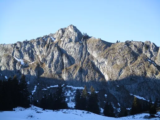 Pointe de Chavannais Mountain, Mieussy12 km S
-
Sur la lanche Crusaz Mountain, Mégevette10 km S
Sources & licences
Data last updated: