
- Population
- 849,583
- 849.6K
- Elevation
- 494 m
- above sea level
- Local time
- UTC+01:00
- Europe/Paris · UTC+01:00
- Places inside
- 66
- listed under Upper Savoy
- Airports
- NCY Annecy Meythet airport31 km
- GVA Geneva International Airport33 km
About Upper Savoy
Upper Savoy is a district. Location: Auvergne-Rhône-Alpes, France. Population: 849,583.
Haute-Savoie (French pronunciation: [ot savwa] ; Upper Savoy) is a department in the Auvergne-Rhône-Alpes region of Southeastern France, bordering both Switzerland and Italy. Its prefecture is Annecy. To the north is Lake Geneva; to the south and southeast are Mont Blanc and the Aravis mountain range. It holds its name from the Savoy historical region, as does the department of Savoie, located south of Haute-Savoie. In 2023, it had a population of 861,158.
Source: Wikipedia · CC BY-SA 4.0
Photos of Upper Savoy
-
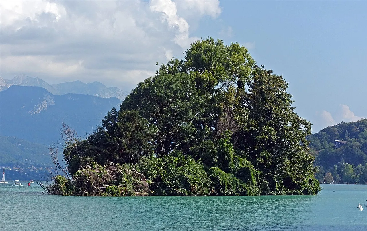
Île des Cygnes Tiia Monto · CC BY-SA 3.0 -
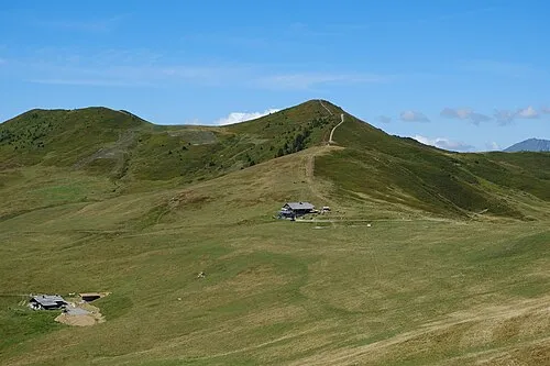
Mont de Vorès Guilhem Vellut from Annecy, France · CC BY 2.0 -
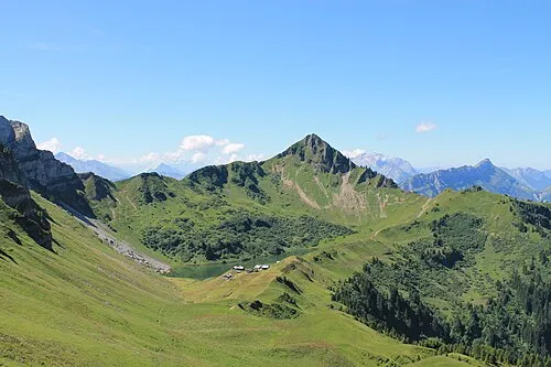
Aiguille Verte B. Brassoud alias B-noa · CC BY-SA 4.0 -
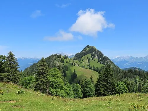
Pointe de Velan Rémih · CC BY-SA 4.0 -
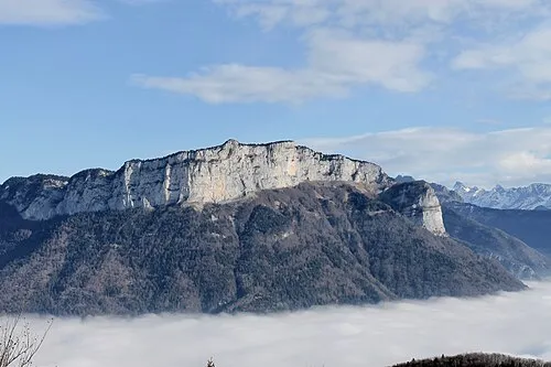
Mont Teret B. Brassoud · CC BY-SA 4.0


Travel notes for Upper Savoy
From Wikivoyage
Haute-Savoie (Upper Savoie) consists of the small nook of France, bordering Switzerland, across Lake Geneva to the north, and Italy to the east. It is a department in Auvergne-Rhône-Alpes.
Understand+
The Haute-Savoie became part of France in the 19th century after a trade off between France and the Piemont noble Family. This is why a lot of local do not consider themselves French but "Savoyard" or even "Savoisiens" (movement for independence from France, not followed widely) in their own right. The locals can be a bit tough to deal with and most regret the old days as this particular region went from very rural to over-flowing with inhabitants during the last 20 years (population tripled, house prices among the highest in France) but overall they are quite nice people.
Many residents of the Haute-Savoie take pride in the culture and lifestyle that can be described as "typiquement Savoyard" (typical Savoyard, a variation of the word Savoie). Not only do many people believe it is one of the most beautiful parts of France, but there is also the cheese and other special dishes to dote on. Taking a chance to talk to the local people about the ways this area is different than the rest of France is sure to be enlightening and would greatly enrich the travel experience.
The Haute-Savoie, particularly the rural areas, can also provide a revealing look at the quiet, small-town life in France. For the tourist who has a tendency to forget the France outside of Paris, this may be especially eye-opening and entertaining.
Get in+
By plane:
The two largest airports near the Haute-Savoie are located in Lyon and Geneva and are serviced by most major international and some discount European airlines, two smaller airport are located in Grenoble and Chambéry and have flights from by a dozen or so European and African cities.
By train:
Haute-Savoie is easily accessible with a 1-hr-30-min ride from Lyon, by high speed train (train à grande vitesse, TGV). The stations at Annecy, Evian and Annemasse, among others, are served by the TGV.
By car:
The drive to Annecy from Lyon is about 2 hours on the autoroute, which is tolled. Savoie can be reached from Italy in 15 min through the tunnel under Mont Blanc, entering France at Chamonix. This is tolled and quite pricy.
Source: Wikivoyage · CC BY-SA 4.0 · abridged
Places bordering Upper Savoy
- Canton of Vaud
- Valais
- Canton of Geneva
- Ain
- Savoy
- Aosta Valley
Population of Upper Savoy over time
| 2015 | 793,938 | |
|---|---|---|
| 2017 | 807,360 | |
| 2018 | 816,699 | |
| 2019 | 826,094 | |
| 2020 | 835,206 | |
| 2021 | 841,482 | |
| 2022 | 849,583 | |
| 2023 | 861,158 |
Censuses and official estimates; source: Wikidata.
Climate of Upper Savoy
Best months for sightseeingBest months for sightseeing: May–September.
This month · November
A wet month
Day 10° · Night 3° · Rain 118 mm
- Hottest month
- July (day 25°)
- Coldest month
- January (night -1°)
- Wettest month
- November (118 mm)
- Driest month
- April (84 mm)
Bars: average monthly low and high temperature. Below: precipitation. Monthly averages for 1970–2000 at about 18 km resolution, adjusted for elevation. Highlighted months are mild and relatively dry. Source: WorldClim 2.1 (CC BY 4.0).
Show values as a table
| Month | Jan | Feb | Mar | Apr | May | Jun | Jul | Aug | Sep | Oct | Nov | Dec |
|---|---|---|---|---|---|---|---|---|---|---|---|---|
| Average high (°C) | 6° | 7° | 11° | 14° | 19° | 22° | 25° | 25° | 21° | 15° | 10° | 6° |
| Average low (°C) | -1° | -1° | 2° | 5° | 9° | 12° | 14° | 14° | 11° | 7° | 3° | 0° |
| Precipitation (mm) | 106 | 108 | 90 | 84 | 96 | 111 | 91 | 90 | 101 | 109 | 118 | 118 |
Other places to visit in this season: May June July August September
How to get to Upper Savoy
The nearest airport is Annecy Meythet airport (NCY), 31 km to the southwest as the crow flies. For international flights: Geneva International Airport (GVA) (33 km). The nearest large city is Geneva, 28 km to the northwest.
Airports
- Annecy Meythet airport (NCY) Annecy 31 kmsouthwest
- Geneva International Airport (GVA) Geneva 33 kmnorthwest
- Chambéry Aix les Bains airport (CMF) Chambéry 65 kmsouthwest
Nearby large cities
- Geneva Population: 201.7K 28 kmnorthwest
- Lausanne Population: 139.1K 52 kmnorth
- Grenoble Population: 158.6K 114 kmsouthwest
- Bern Population: 121.6K 125 kmnortheast
- Villeurbanne Population: 131.4K 126 kmwest
Straight-line distances; road distances are longer. Airport data: OurAirports.
Day trips from Upper Savoy
Within 100 km: 160 historic and cultural sites, 2,738 natural sites, 436 lakes, rivers and coasts.
0–25 km196 places
- La Forêt Historic site 23 kmNW
- Lac d'Anthon Lake 9 kmNE
- Lac de Roy Lake 13 kmNE
- Lac de Morillon Lake 18 kmE
25–60 km1,105 places
- Ile de Salagnon Island 54 kmNE
- Lake Leman Lake 42 kmN
- Lac de Fully Lake 51 kmE
- Lac d'Émosson Lake 35 kmE
60–100 km2,033 places
- Ile d'Ogoz Island 87 kmNE
- Schwarzsee Lake 93 kmNE
- Lac de Joux Lake 66 kmN
- Lac de la Gruyère Lake 83 kmNE
Straight-line distances.
Places in Upper Savoy
66 placesMountains & nature1
- Vallon de Saint-Ruph · Natural site
Lakes, rivers & coasts5
- Torrent le Nom · River
- Torrent le Parmand · River
- Torrent le Risse · River
- Torrent le Viaison · River
- Usses · River
Nature and heritage in Upper Savoy
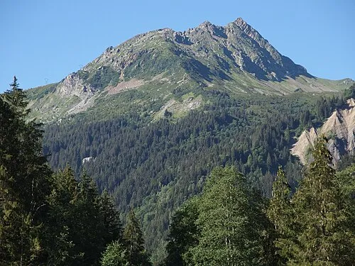
Nearby attractions & nature
Everything nearby-
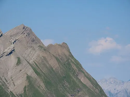 Pointe des Verres Mountain, La Giettaz19 km S
-
Rocher de la Balmaz Mountain, La Giettaz19 km S
-
Tête du Toré Mountain, La Giettaz23 km S
-
La Forêt Historic site, Jussy23 km NW
Other regions in Auvergne-Rhône-Alpes


Sources & licences
Data last updated: · 2 independent sources