Bahnhofsviertel
Located in Frankfurt, Frankfurt am Main Coordinates: 50°06′27″ N 8°39′56″ E

- Population
- 2,159
- 2.2K
- Elevation
- 108 m
- above sea level
- Local time
- UTC+01:00
- Europe/Berlin · UTC+01:00
- Airports
- FRA Frankfurt Main Airport12 km
- MHG Mannheim-City Airport71 km
About Bahnhofsviertel
Bahnhofsviertel is a neighbourhood. Location: Frankfurt, Frankfurt am Main. Population: 2,159.
The Bahnhofsviertel (German pronunciation: [ˈbaːnhoːfsˌfɪʁtl̩] , lit. 'train station quarter') is a quarter of Frankfurt am Main, Germany. It is part of the Ortsbezirk Innenstadt I. The Bahnhofsviertel was developed between 1891 and 1915. Along with the Westend, the Nordend and the Ostend, it is part of Frankfurt's dense inner city districts.
Source: Wikipedia · CC BY-SA 4.0
At a glance
- Area
- 52 ha
Source: Wikidata
Photos of Bahnhofsviertel
-

07 · CC BY-SA 4.0 -

Luisfff2812 · CC BY 4.0 -

More pics than views… · CC BY 3.0 -

Nikolai Karaneschev · CC BY 3.0 -

Christian Alexander Tietgen · CC BY 4.0


Climate of Bahnhofsviertel
Best months for sightseeingBest months for sightseeing: May–September.
This month · November
A cold month
Day 8° · Night 3° · Rain 52 mm
- Hottest month
- July (day 25°)
- Coldest month
- January (night -1°)
- Wettest month
- July (65 mm)
- Driest month
- February (40 mm)
Bars: average monthly low and high temperature. Below: precipitation. Monthly averages for 1970–2000 at about 18 km resolution, adjusted for elevation. Highlighted months are mild and relatively dry. Source: WorldClim 2.1 (CC BY 4.0).
Show values as a table
| Month | Jan | Feb | Mar | Apr | May | Jun | Jul | Aug | Sep | Oct | Nov | Dec |
|---|---|---|---|---|---|---|---|---|---|---|---|---|
| Average high (°C) | 4° | 6° | 10° | 14° | 20° | 23° | 25° | 25° | 20° | 14° | 8° | 5° |
| Average low (°C) | -1° | -1° | 2° | 5° | 9° | 12° | 14° | 14° | 10° | 6° | 3° | 0° |
| Precipitation (mm) | 44 | 40 | 46 | 43 | 58 | 61 | 65 | 50 | 50 | 54 | 52 | 57 |
Other places to visit in this season: May June July August September
How to get to Bahnhofsviertel
The nearest airport is Frankfurt Main Airport (FRA), 12 km to the southwest as the crow flies. The nearest large city is Frankfurt am Main, 2 km to the northeast.
Airports
- Frankfurt Main Airport (FRA) Frankfurt am Main 12 kmsouthwest
- Mannheim-City Airport (MHG) Mannheim 71 kmsouth
- Frankfurt-Hahn Airport (HHN) Frankfurt am Main (Lautzenhausen) 102 kmwest
Nearby large cities
- Frankfurt am Main Population: 650K 2 kmnortheast
- Offenbach Population: 119.2K 7 kmeast
- Darmstadt Population: 167K 26 kmsouth
- Wiesbaden Population: 288.8K 30 kmwest
- Mainz Population: 222.9K 31 kmsouthwest
Straight-line distances; road distances are longer. Airport data: OurAirports.
Day trips from Bahnhofsviertel
Within 100 km: 981 historic and cultural sites, 4,309 natural sites, 790 lakes, rivers and coasts.
0–25 km310 places
- Ernst-Ludwigs-Teich Lake 18 kmS
- Egelswoog Lake 16 kmS
- Zeilsberg Mountain 13 kmW
- Wellenberg Mountain 22 kmN
25–60 km1,727 places
- Modau River 36 kmSW
- Lumda River 60 kmN
- Aar River 55 kmNW
- Rüdesheimer Aue Island 54 kmW
60–100 km4,043 places
- Umpfer River 99 kmSE
- Elsenz River 80 kmS
- Ohe River 76 kmN
- Felda River 71 kmNE
Straight-line distances.
Nearby attractions & nature
Everything nearby-
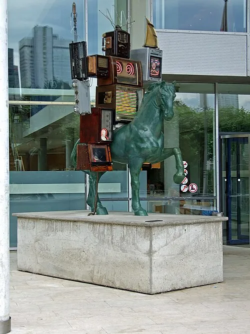 Museum für Kommunikation Frankfurt Museum, Frankfurt0.8 km SE
-
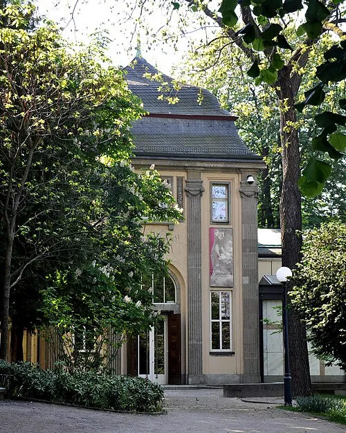 Liebieghaus Museum, Frankfurt0.7 km SE
-
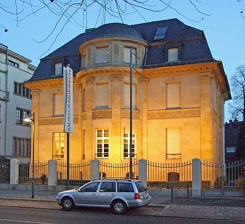 Museum Giersch Museum, Frankfurt0.8 km SE
-
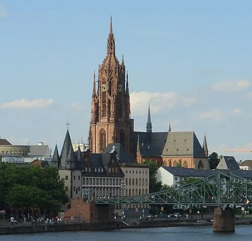 Frankfurt Cathedral Attraction, Frankfurt1.4 km E
-
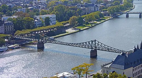 Iron Bridge Landmark, Frankfurt1.2 km E
-
Frankfurt, Weißfrauenkirche Attraction, Frankfurt0.4 km E
Other cities and towns in Frankfurt
-
 Dornbusch Neighbourhood, Frankfurt4.5 km N
-
 Eckenheim Neighbourhood, Frankfurt4.9 km N
-
 Nied Neighbourhood, Frankfurt7.1 km W
-
 Berkersheim Neighbourhood, Frankfurt7 km N
-
Niederrad Neighbourhood, Frankfurt3.8 km SW
-
 Innenstadt Neighbourhood, Frankfurt1.5 km NE
Sources & licences
Data last updated: · 2 independent sources