- Local time
- UTC+01:00
- Europe/Berlin · UTC+01:00
- Elevation
- 94 m
- above sea level
- Airports
- FRA Frankfurt Main Airport20 km
- MHG Mannheim-City Airport61 km
About Iron Tower
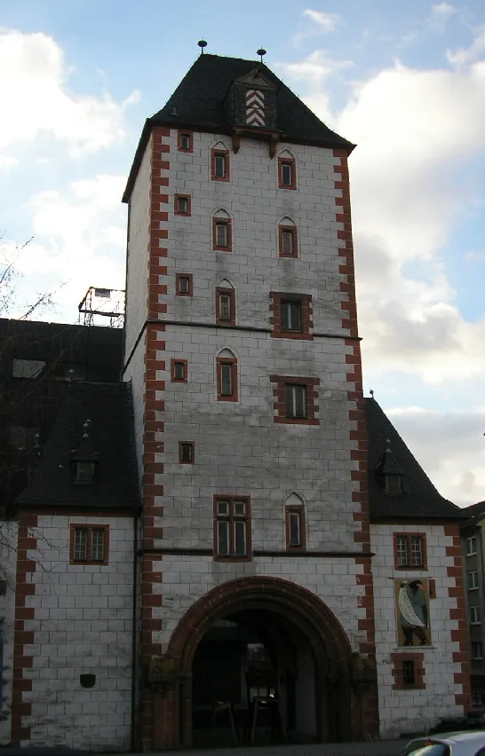
Iron Tower is a landmark. Location: Mainz, Kreisfreie Stadt Mainz.
The Iron Tower (German: Eisenturm) is a mediaeval tower dating to the early 13th century, and modified in the 15th century, which with the Wood Tower and the Alexander Tower is one of three remaining towers from the city walls of Mainz, Germany. Its name derives from the Iron Market (Eisenmarkt), which was held in the immediate vicinity until the 19th century. The Iron Tower served as a watchtower and gate to the city, and later as a gaol. It was badly damaged in World War II and reconstructed in the 1960s.
Source: Wikipedia · CC BY-SA 4.0
At a glance
- Heritage designation
- Kulturdenkmal
Source: Wikidata
Photos of Iron Tower
-

Flocci Nivis · CC BY-SA 4.0 -

Flocci Nivis · CC BY 4.0 -

giggel · CC BY 3.0 -

ManuelB701 · CC0 -

Andrzej Otrębski · CC BY-SA 4.0


Climate of Iron Tower
Best months for sightseeingBest months for sightseeing: May–September.
This month · November
A cold month
Day 8° · Night 3° · Rain 55 mm
- Hottest month
- July (day 25°)
- Coldest month
- February (night 0°)
- Wettest month
- July (68 mm)
- Driest month
- February (43 mm)
Bars: average monthly low and high temperature. Below: precipitation. Monthly averages for 1970–2000 at about 18 km resolution, adjusted for elevation. Highlighted months are mild and relatively dry. Source: WorldClim 2.1 (CC BY 4.0).
Show values as a table
| Month | Jan | Feb | Mar | Apr | May | Jun | Jul | Aug | Sep | Oct | Nov | Dec |
|---|---|---|---|---|---|---|---|---|---|---|---|---|
| Average high (°C) | 4° | 6° | 10° | 14° | 20° | 23° | 25° | 24° | 20° | 14° | 8° | 6° |
| Average low (°C) | 0° | 0° | 3° | 5° | 9° | 13° | 14° | 14° | 11° | 7° | 3° | 1° |
| Precipitation (mm) | 49 | 43 | 49 | 46 | 62 | 64 | 68 | 48 | 52 | 57 | 55 | 60 |
Other places to visit in this season: May June July August September
How to get to Iron Tower
The nearest airport is Frankfurt Main Airport (FRA), 20 km to the east as the crow flies. The nearest large city is Mainz, 2 km to the south.
Airports
- Frankfurt Main Airport (FRA) Frankfurt am Main 20 kmeast
- Mannheim-City Airport (MHG) Mannheim 61 kmsouth
- Frankfurt-Hahn Airport (HHN) Frankfurt am Main (Lautzenhausen) 73 kmwest
Nearby large cities
- Mainz Population: 222.9K 2 kmsouth
- Wiesbaden Population: 288.8K 10 kmnorth
- Darmstadt Population: 167K 31 kmsoutheast
- Frankfurt am Main Population: 650K 32 kmnortheast
- Offenbach Population: 119.2K 37 kmeast
Straight-line distances; road distances are longer. Airport data: OurAirports.
Day trips from Iron Tower
Within 100 km: 941 historic and cultural sites, 4,211 natural sites, 838 lakes, rivers and coasts.
0–25 km332 places
- Modau River 25 kmSE
- Rüdesheimer Aue Island 25 kmW
- Petersaue Island 3 kmNW
- Mariannenaue Island 14 kmW
25–60 km1,682 places
- Aar River 45 kmNW
- Friesenheimer Insel Island 55 kmS
- Hattsteinweiher Lake 42 kmNE
- Große Woog Lake 32 kmSE
60–100 km3,976 places
- Elsenz River 77 kmSE
- Ohe River 93 kmN
- Lumda River 77 kmNE
- Felda River 95 kmNE
Straight-line distances.
Nearby attractions & nature
Everything nearby-
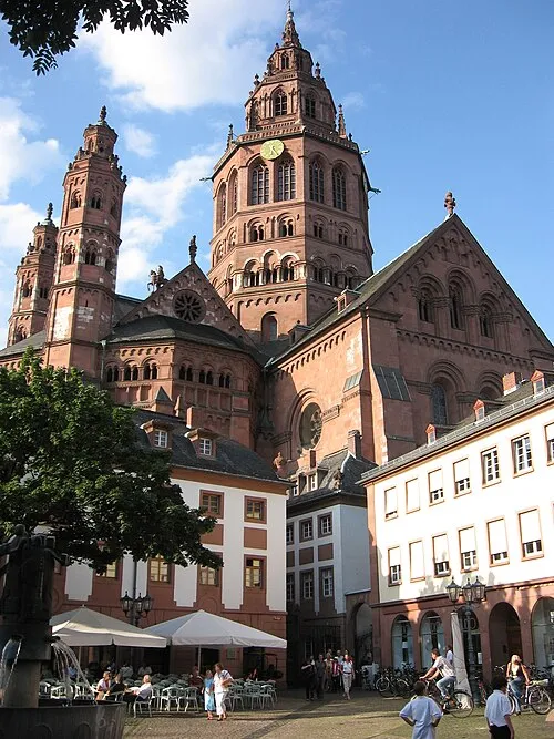 Mainz Cathedral Attraction, Mainz0.3 km SW
-
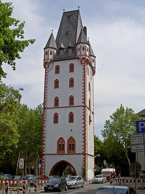 Wood Tower Landmark, Mainz0.5 km SE
-
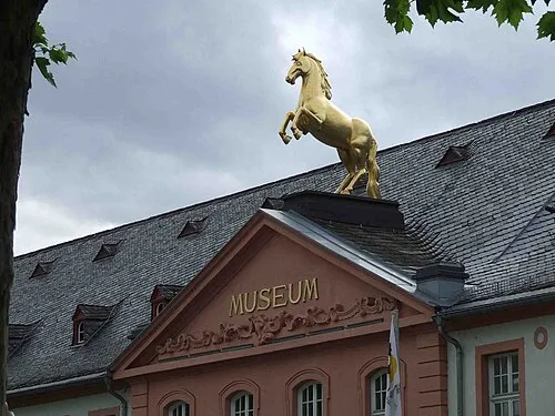 Landesmuseum Mainz Museum, Mainz0.6 km NW
-
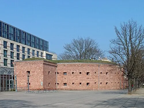 Caponier Malakoff Historic site, Mainz0.7 km SE
-
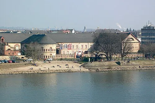 Mainz Reduit Historic site, Wiesbaden0.7 km NE
-
Mainz Dom- und Diözesanmuseum Museum, Mainz0.3 km S
-
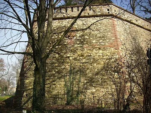 Alexander Bastion Historic site, Mainz1.1 km SW
-
Provisions Depot of Mainz Fortress Historic site, Mainz0.8 km SW
Nearest towns and villages
-
Mainz City, Mainz2.2 km S
-
Kastel Neighbourhood, Wiesbaden1.1 km NE
-
Mombach Neighbourhood, Mainz3.7 km NW
-
 Gonsenheim Neighbourhood, Mainz5.6 km W
Sources & licences
Data last updated: · 2 independent sources