Kazincbarcika
Located in Borsod-Abauj Zemplen county, Hungary Coordinates: 48°15′00″ N 20°38′00″ E
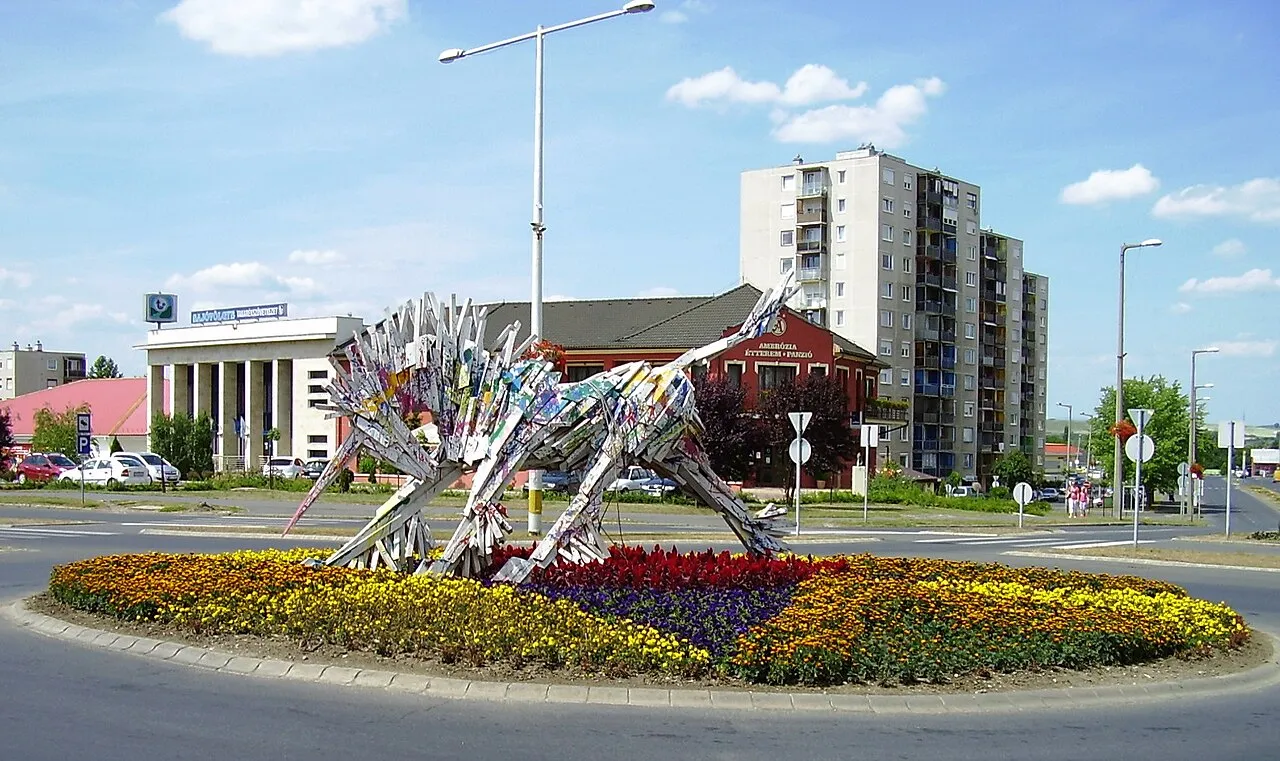
- Population
- 32,396
- 32.4K
- Elevation
- 185 m
- above sea level
- Local time
- UTC+01:00
- Europe/Budapest · UTC+01:00
- Airports
- KSC Košice International Airport64 km
- TAT Poprad-Tatry Airport96 km
About Kazincbarcika
Kazincbarcika is a city. Location: Borsod-Abauj Zemplen county, Hungary. Population: 32,396. Elevation: 185 m.
Kazincbarcika is an industrial town in Borsod–Abaúj–Zemplén county, Northern Hungary. It is the district seat of Kazincbarcika District. It lies in the valley of the Sajó river, 24 kilometres (15 miles) from the county capital, Miskolc.
Source: Wikipedia · CC BY-SA 4.0
Photos of Kazincbarcika
-

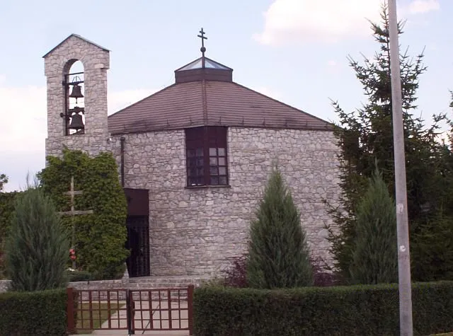
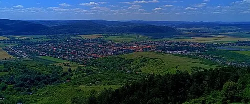
Jávori István · CC BY-SA 4.0 -

Jávori István · CC BY-SA 4.0 -
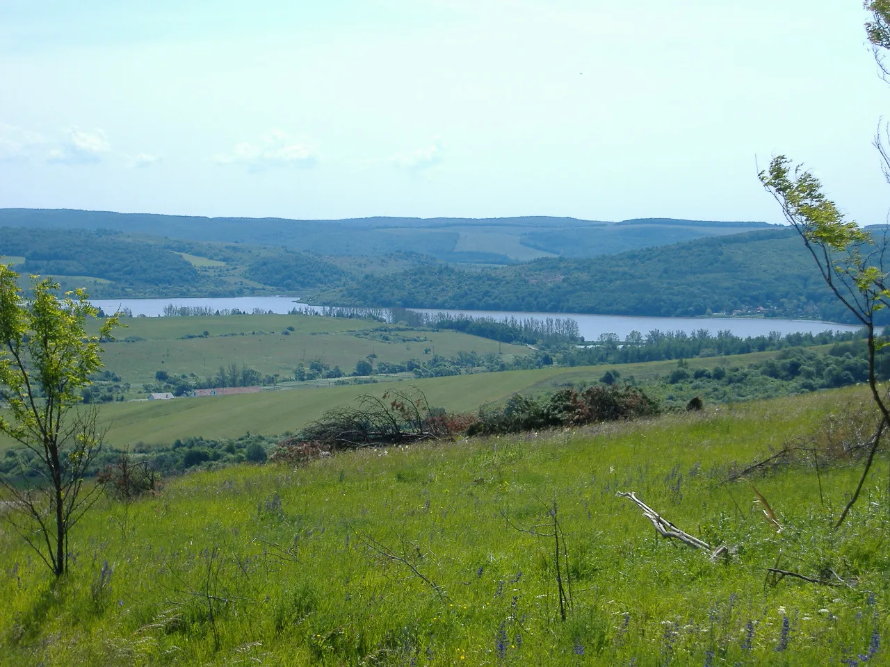
Cserehát Lily15 · CC BY-SA 3.0


Travel notes for Kazincbarcika
From Wikivoyage
Kazincbarcika is an industrial town in Borsod-Abaúj-Zemplén County in Northern Hungary. It lies in the valley of the river Sajó, 20 km (12 mi) away from the county capital, Miskolc.
Nearby towns Sajószentpéter and Rudabánya are also described here.
Understand+
Kazincbarcika was created during the Socialist industrialization, when several villages were unified with the aim of creating an industrial town to provide workers for the newly built Borsodi Vegyi Kombinát (a predecessor of today's BorsodChem).
The village of Sajókazinc was first mentioned in 1240. It was a mainly agricultural village until 1850, when the first coal mine was opened. The village of Barcika came into existence with the unification of two villages, Upper- and Lower-Barcika. Although a mine was opened nearby, agriculture remained the villagers' main occupation until the 1920s, when a large power plant was built.
After World War II, Sajókazinc and Barcika were united under the name Kazincbarcika. In 1954 it was granted town status, and the nearby village of Berente was annexed. The town already had 11,000 residents. BorsodChem, founded in 1949, took an active role in developing the town, and its job opportunities drew people from all over the country.
In the 1970s Kazincbarcika already had 30,000 residents. In the 1980s mining and heavy industry faced a crisis, and the rate of unemployment was high.
Rudabánya's territory was the location of the discovery of a hominid from 12 million years ago, Rudapithecus hungaricus.
1 Tourinform Kazincbarcika, Rákóczi tér 9 (Ifjúmunkás tér 3), ☏ +36 48 311-583, kazincbarcika@tourinform.hu. Jun–Aug: Mon–Fri 09:00–18:00, Sat 09:00–14:00; Sep–May: Mon–Fri 09:00–17:00. Tourist information. (updated Jun 2021)
Get in+
By train:
Trains are available from Miskolc in every two hours. From Budapest you have to transfer in Miskolc. The whole journey from Budapest takes less than 3 hours and costs 3990 Ft. Other direct connections are:
Toward west: Ózd via Putnok in every two hours.
1 Kazincbarcika Train Station, Vasút utca 13 (Vasútállomás 3), ☏ +36 1 349-4949, informacio@mav-start.hu. Ticket office: 04:20–22:20. (updated Jun 2021)
By bus:
Buses are available in every two hours from Budapest-Stadion. The journey takes 3½ hours and costs 3705 Ft.
2 Kazincbarcika Bus Station, Egressy Béni utca 1 (Autóbusz-állomás 3, 4, 9), ☏ +36 48 312-940, info@volanbusz.hu. Ticket office: Mon–Fri 06:00–11:45 12:30–15:30, Sat 07:30–11:00. (updated Jun 2021)
Source: Wikivoyage · CC BY-SA 4.0 · abridged
Twin towns and sister cities of Kazincbarcika
- Revúca· Slovakia
Source: Wikidata. Only places with a page on this site are shown.
Population of Kazincbarcika over time
| 2013 | 28,249 | |
|---|---|---|
| 2014 | 27,892 | |
| 2017 | 26,706 | |
| 2018 | 26,337 | |
| 2022 | 24,371 | |
| 2023 | 24,373 | |
| 2024 | 23,990 | |
| 2025 | 23,608 | |
| 2026 | 23,137 |
Censuses and official estimates; source: Wikidata.
Climate of Kazincbarcika
Best months for sightseeingBest months for sightseeing: May–September.
This month · November
A cold month
Day 7° · Night 0° · Rain 38 mm
- Hottest month
- July (day 26°)
- Coldest month
- January (night -5°)
- Wettest month
- June (77 mm)
- Driest month
- January (22 mm)
Bars: average monthly low and high temperature. Below: precipitation. Monthly averages for 1970–2000 at about 18 km resolution, adjusted for elevation. Highlighted months are mild and relatively dry. Source: WorldClim 2.1 (CC BY 4.0).
Show values as a table
| Month | Jan | Feb | Mar | Apr | May | Jun | Jul | Aug | Sep | Oct | Nov | Dec |
|---|---|---|---|---|---|---|---|---|---|---|---|---|
| Average high (°C) | 1° | 4° | 10° | 16° | 21° | 24° | 26° | 25° | 21° | 14° | 7° | 2° |
| Average low (°C) | -5° | -4° | 0° | 5° | 10° | 13° | 14° | 13° | 10° | 5° | 0° | -3° |
| Precipitation (mm) | 22 | 23 | 24 | 44 | 61 | 77 | 65 | 59 | 45 | 38 | 38 | 29 |
Other places to visit in this season: May June July August September
How to get to Kazincbarcika
The nearest airport is Košice International Airport (KSC), 64 km to the northeast as the crow flies. For international flights: Debrecen International Airport (DEB) (112 km). The nearest large city is Miskolc, 20 km to the southeast.
Airports
- Košice International Airport (KSC) Košice 64 kmnortheast
- Poprad-Tatry Airport (TAT) Poprad 96 kmnorth
- Debrecen International Airport (DEB) Debrecen 112 kmsoutheast
Nearby large cities
- Miskolc Population: 154.5K 20 kmsoutheast
- Košice Population: 225K 69 kmnortheast
- Nyíregyháza Population: 117.7K 87 kmeast
- Debrecen Population: 202.4K 109 kmsoutheast
- Oradea Population: 183.1K 165 kmsoutheast
Straight-line distances; road distances are longer. Airport data: OurAirports.
Day trips from Kazincbarcika
Within 100 km: 31 historic and cultural sites, 41 natural sites, 8 lakes, rivers and coasts.
0–25 km11 places
- Rimava River 24 kmW
- Szána-bérc Mountain 22 kmSW
- Gulicska Mountain 17 kmS
- Avas Mountain 20 kmSE
25–60 km25 places
- Slovenské Rudohorie Mountain 60 kmN
- Ida River 44 kmNE
- Cherekhat Mountain 33 kmNE
- Zabarla Mountain 57 kmE
60–100 km44 places
- Branisko Mountain 95 kmN
- Poľana Mountain 95 kmNW
- Čertovica Mountain 100 kmNW
- Ľubica River 99 kmN
Straight-line distances.
Nearby attractions & nature
Everything nearby-
Sajószentpéter Ghetto Historic site, Borsod-Abauj Zemplen county6.6 km SE
-
Edelény Ghetto Historic site, Borsod-Abauj Zemplen county9.2 km NE
-
Miskolc Ghetto Historic site, Borsod-Abauj Zemplen county20 km SE
-
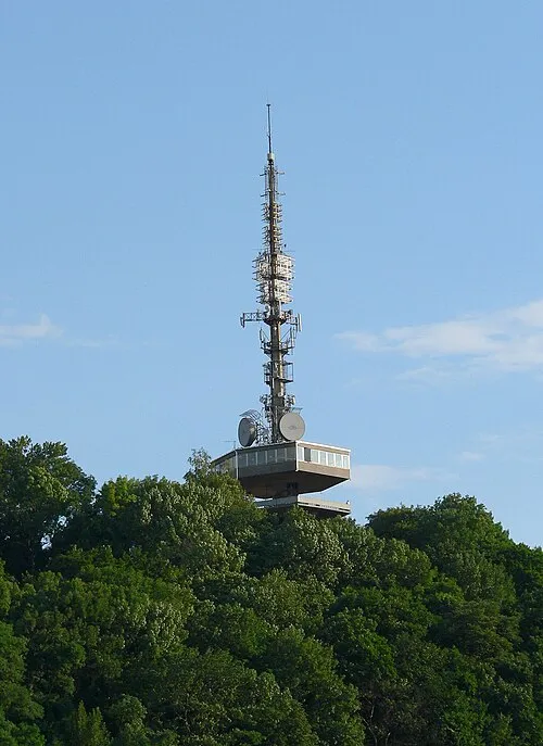 Avas Mountain, Hungary20 km SE
-
Gulicska Mountain, Hungary17 km S
-
Szendrő Ghetto Historic site, Borsod-Abauj Zemplen county18 km NE
-
Putnok Ghetto Historic site, Borsod-Abauj Zemplen county16 km W
-
Diósgyőr Ghetto Historic site, Borsod-Abauj Zemplen county17 km S
Other cities and towns in Borsod-Abauj Zemplen county
-
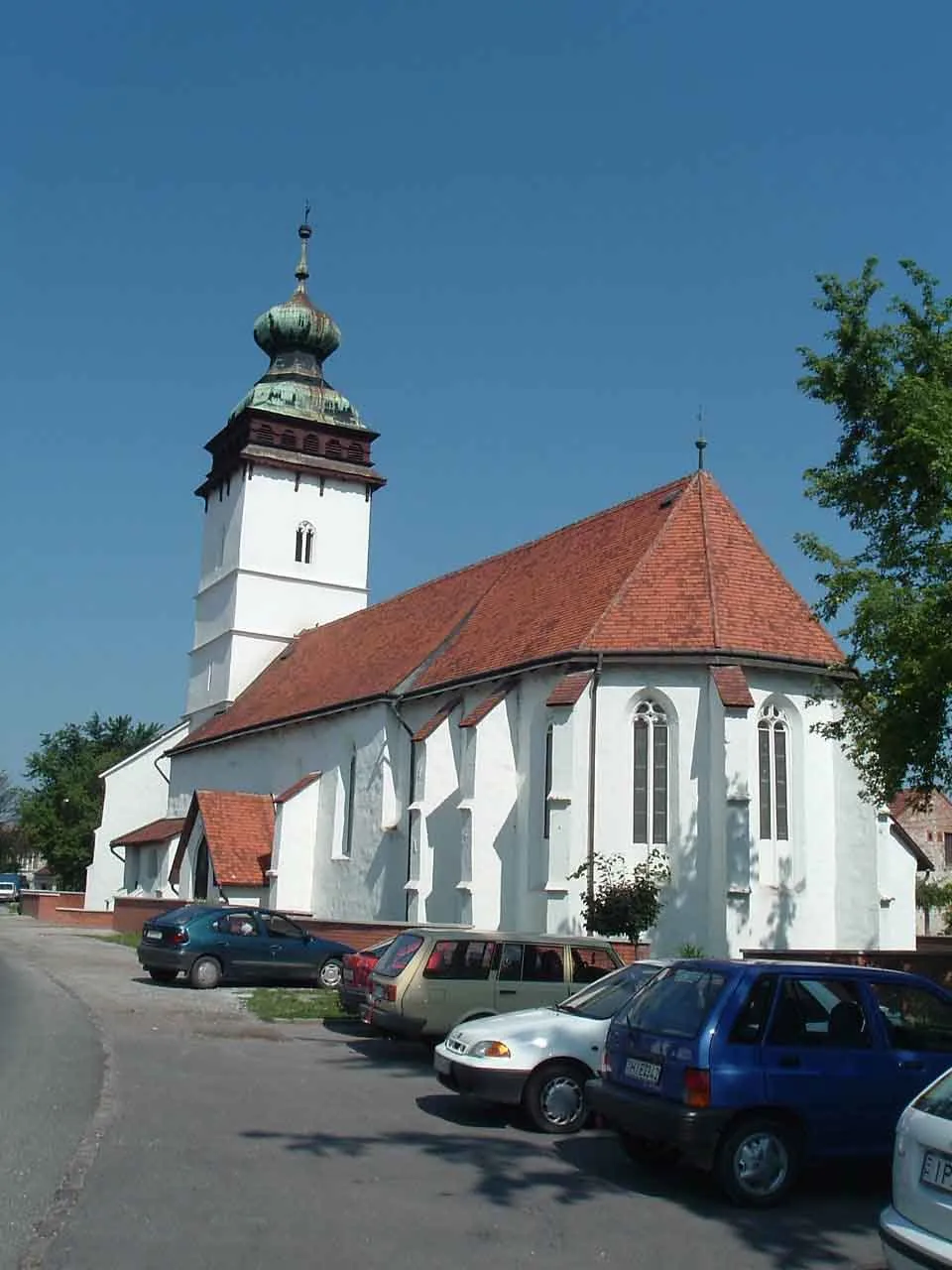 Sajószentpéter Town, Borsod-Abauj Zemplen county7.2 km SE
-
 Edelény City, Borsod-Abauj Zemplen county9.3 km NE
-
Miskolc City, Borsod-Abauj Zemplen county20 km SE
-
 Putnok City, Borsod-Abauj Zemplen county16 km W
-
Martin Kertváros Town, Borsod-Abauj Zemplen county22 km SE
-
Ózd City, Borsod-Abauj Zemplen county25 km W
Sources & licences
Data last updated: · 2 independent sources