Borsod-Abauj Zemplen county
Local name: Borsod-Abaúj-Zemplén megye
Located in Hungary Coordinates: 48°15′00″ N 21°00′00″ E
- Population
- 648,216
- 648.2K
- Elevation
- 118 m
- above sea level
- Local time
- UTC+01:00
- Europe/Budapest · UTC+01:00
- Places inside
- 190
- listed under Borsod-Abauj Zemplen county
- Airports
- KSC Košice International Airport49 km
- DEB Debrecen International Airport96 km
About Borsod-Abauj Zemplen county
Borsod-Abauj Zemplen county is a region. Location: Hungary. Population: 648,216.
Borsod–Abaúj–Zemplén (Hungarian: Borsod-Abaúj-Zemplén megye, pronounced [ˈborʃod ˈɒbɒuːj ˈzɛmpleːn]) is an administrative county (comitatus or megye) in north-eastern Hungary (commonly called "Northern Hungary"), on the border with Slovakia (Košice Region). It shares borders with the Hungarian counties Nógrád, Heves, Hajdú–Bihar and Szabolcs–Szatmár–Bereg. The capital of Borsod–Abaúj–Zemplén county is Miskolc. Of the seven statistical regions of Hungary it belongs to the region Northern Hungary.
Source: Wikipedia · CC BY-SA 4.0
Photos of Borsod-Abauj Zemplen county
-

Oprienko · CC BY-SA 4.0 -

Oprienko · CC BY-SA 4.0 -

andrashann · CC BY-SA 4.0 -

Oprienko · CC0 -

Oprienko · CC0


Travel notes for Borsod-Abauj Zemplen county
From Wikivoyage
Borsod-Abaúj-Zemplén county is in Northern Hungary.
Source: Wikivoyage · CC BY-SA 4.0 · abridged
Places bordering Borsod-Abauj Zemplen county
- Nógrád megye
- Heves County
- Jász-Nagykun-Szolnok
- Hajdú-Bihar
- Szabolcs-Szatmár-Bereg
Climate of Borsod-Abauj Zemplen county
Best months for sightseeingBest months for sightseeing: May–September.
This month · November
A cold month
Day 7° · Night 0° · Rain 43 mm
- Hottest month
- July (day 26°)
- Coldest month
- January (night -5°)
- Wettest month
- June (80 mm)
- Driest month
- January (27 mm)
Bars: average monthly low and high temperature. Below: precipitation. Monthly averages for 1970–2000 at about 18 km resolution, adjusted for elevation. Highlighted months are mild and relatively dry. Source: WorldClim 2.1 (CC BY 4.0).
Show values as a table
| Month | Jan | Feb | Mar | Apr | May | Jun | Jul | Aug | Sep | Oct | Nov | Dec |
|---|---|---|---|---|---|---|---|---|---|---|---|---|
| Average high (°C) | 1° | 4° | 10° | 16° | 22° | 24° | 26° | 26° | 22° | 15° | 7° | 2° |
| Average low (°C) | -5° | -4° | 0° | 5° | 10° | 13° | 14° | 14° | 10° | 5° | 0° | -3° |
| Precipitation (mm) | 27 | 27 | 28 | 42 | 59 | 80 | 73 | 65 | 46 | 40 | 43 | 36 |
Other places to visit in this season: May June July August September
How to get to Borsod-Abauj Zemplen county
The nearest airport is Košice International Airport (KSC), 49 km to the north as the crow flies. For international flights: Debrecen International Airport (DEB) (96 km). The nearest large city is Miskolc, 23 km to the southwest.
Airports
- Košice International Airport (KSC) Košice 49 kmnorth
- Debrecen International Airport (DEB) Debrecen 96 kmsoutheast
- Poprad-Tatry Airport (TAT) Poprad 107 kmnorthwest
Nearby large cities
- Miskolc Population: 154.5K 23 kmsouthwest
- Nyíregyháza Population: 117.7K 63 kmsoutheast
- Debrecen Population: 202.4K 93 kmsoutheast
- Satu Mare Population: 112.5K 148 kmeast
- Oradea Population: 183.1K 151 kmsoutheast
Straight-line distances; road distances are longer. Airport data: OurAirports.
Places in Borsod-Abauj Zemplen county
190 placesCountries & regions1
- Szikszói Járás · District
Cities & villages1
- Sarkadtanya · Neighbourhood
Mountains & nature5
- Remete-hegy · Mountain
- Somos · Mountain
- Szeles · Mountain
- Varnyas · Mountain
- Zabarla · Mountain
Heritage & sights3
- Sajószentpéter Ghetto · Historic site
- Sátoraljaújhely Ghetto · Historic site
- Szendrő Ghetto · Historic site
Largest cities and towns
-
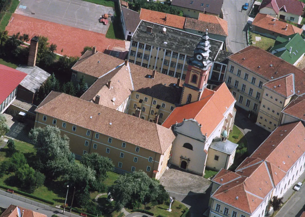 Sátoraljaújhely City, Sátoraljaújhely District18.1K
-
Görömböly Neighbourhood, Miskolci Járás4.2K
-
Diósgyőr Neighbourhood, Miskolci Járás18.1K
-
Szirma Neighbourhood, Miskolci Járás4.2K
-
Harsány Village, Miskolci Járás2.1K
-
Rudabányácska Neighbourhood, Sátoraljaújhely District271
-
Pácin Village, Cigándi Járás1.4K
Other regions in Hungary
-
Miskolci Járás District, Borsod-Abauj Zemplen county25 km SW
-
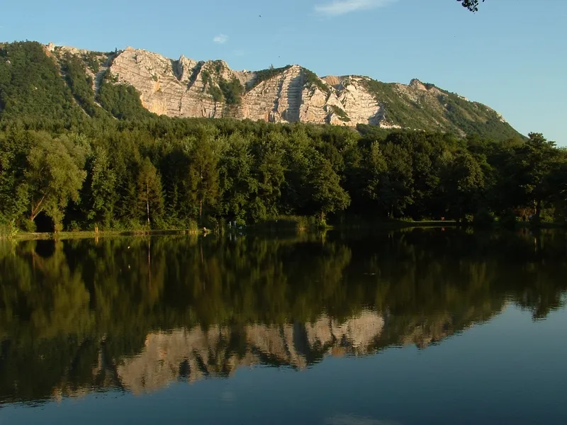 Heves County Region, Hungary73 km SW
-
Encsi Járás District, Borsod-Abauj Zemplen county18 km N
-
Szerencsi Járás District, Borsod-Abauj Zemplen county17 km SE
-
Edelényi Járás District, Borsod-Abauj Zemplen county24 km NW
-
Eger District District, Heves County59 km SW
Sources & licences
Data last updated: · 2 independent sources