Záhony
Located in Szabolcs-Szatmár-Bereg, Hungary Coordinates: 48°24′33″ N 22°10′34″ E
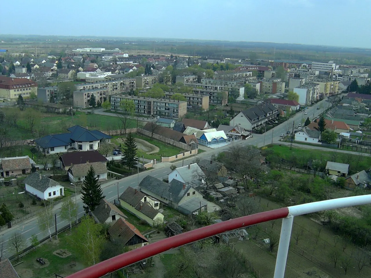
- Population
- 4,807
- 4.8K
- Elevation
- 103 m
- above sea level
- Local time
- UTC+01:00
- Europe/Budapest · UTC+01:00
About Záhony
Záhony is a city. Location: Szabolcs-Szatmár-Bereg, Hungary. Population: 4,807. Elevation: 103 m.
Záhony (Ukrainian: Загонь) is a town in Szabolcs-Szatmár-Bereg county, Northern Great Plain, eastern Hungary. It covers an area of 6.97 km2 (3 sq mi) and has a population of 4675 people (2005). It is near the Ukrainian border (at Chop and Solomonovo) and was part of Ung county before the Treaty of Trianon. Road and railway border crossings into Ukraine are located here. The Ukrainian town across the border is Chop.
Read more on Wikipedia Text: Wikipedia contributors · CC BY-SA 4.0 · shortened
At a glance
- Area
- 6.9 km²
Source: Wikidata
In comparison
- No. 17 of 101 places in Szabolcs-Szatmár-Bereg by population
- Nearest larger town: Kisvárda, 22 km S
Climate of Záhony
Best months for sightseeing: May–September.
| Month | Jan | Feb | Mar | Apr | May | Jun | Jul | Aug | Sep | Oct | Nov | Dec |
|---|---|---|---|---|---|---|---|---|---|---|---|---|
| Average high (°C) | 1° | 4° | 10° | 16° | 21° | 24° | 26° | 26° | 21° | 15° | 8° | 3° |
| Average low (°C) | -5° | -4° | 0° | 5° | 10° | 13° | 14° | 13° | 10° | 5° | 1° | -3° |
| Precipitation (mm) | 45 | 39 | 39 | 48 | 66 | 78 | 79 | 65 | 54 | 46 | 53 | 59 |
Monthly averages for 1970–2000 at about 18 km resolution, adjusted for elevation. Highlighted months are mild and relatively dry. Source: WorldClim 2.1 (CC BY 4.0).
Other places to visit in this season: May · June · July · August · September
Airports nearest to Záhony
- Košice International Airport (KSC) Košice 75 km
- Satu Mare International Airport (SUJ) Satu Mare 95 km
- Debrecen International Airport (DEB) Debrecen 110 km
Straight-line distance; airports with scheduled flights only. Source: OurAirports (public domain).
Other cities and towns in Szabolcs-Szatmár-Bereg
-
Kisvárda City, Szabolcs-Szatmár-Bereg22 km S
-
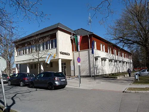 Vásárosnamény City, Szabolcs-Szatmár-Bereg33 km S
-
Ibrány City, Szabolcs-Szatmár-Bereg47 km SW
-
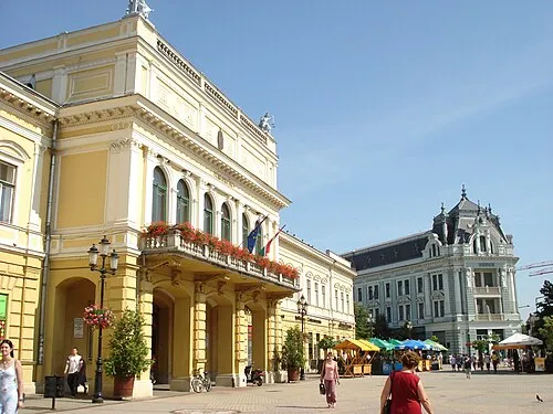 Nyíregyháza City, Szabolcs-Szatmár-Bereg61 km SW
-
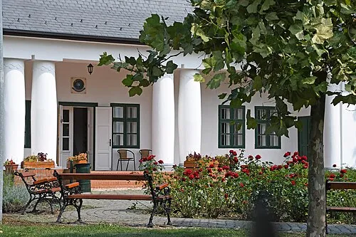 Nagyhalász Town, Szabolcs-Szatmár-Bereg44 km SW
-
 Kemecse City, Szabolcs-Szatmár-Bereg46 km SW
Sources & licences
Data last updated: · 2 independent sources