Dundrum
Local name: Dún Droma
Located in Dún Laoghaire-Rathdown, Leinster Coordinates: 53°17′26″ N 6°15′26″ W

- Population
- 12,152
- 12.2K
- Elevation
- 60 m
- above sea level
- Local time
- UTC+00:00
- Europe/Dublin · UTC+00:00
About Dundrum
Dundrum is a town. Location: Dún Laoghaire-Rathdown, Leinster. Population: 12,152. Elevation: 60 m.
Dundrum (Irish: Dún Droma, meaning 'the ridge fort'), originally a village in its own right, is an outer suburb of Dublin, Ireland. Dundrum is located in the local authority area of Dún Laoghaire–Rathdown County Council and the postal districts of Dublin 14 and Dublin 16. The area is home to the Dundrum Town Centre, the largest shopping centre in Ireland.
Read more on Wikipedia Text: Wikipedia contributors · CC BY-SA 4.0 · shortened
In comparison
- No. 5 of 17 places in Dún Laoghaire-Rathdown by population
- Nearest larger town: Rathfarnham, 2 km NW
- 62 sights and natural places within 10 km Dargle River, Owendoher River
Climate of Dundrum
Best months for sightseeing: June–September.
| Month | Jan | Feb | Mar | Apr | May | Jun | Jul | Aug | Sep | Oct | Nov | Dec |
|---|---|---|---|---|---|---|---|---|---|---|---|---|
| Average high (°C) | 8° | 8° | 10° | 12° | 15° | 18° | 20° | 19° | 17° | 14° | 10° | 9° |
| Average low (°C) | 3° | 3° | 4° | 4° | 7° | 10° | 12° | 12° | 10° | 7° | 4° | 3° |
| Precipitation (mm) | 101 | 78 | 77 | 67 | 69 | 68 | 65 | 85 | 85 | 101 | 95 | 106 |
Monthly averages for 1970–2000 at about 18 km resolution, adjusted for elevation. Highlighted months are mild and relatively dry. Source: WorldClim 2.1 (CC BY 4.0).
Other places to visit in this season: June · July · August · September
Airports nearest to Dundrum
- Dublin Airport (DUB) Dublin 15 km
- Isle of Man Airport (IOM) Castletown, Rushen 139 km
- George Best Belfast City Airport (BHD) Belfast 150 km
Straight-line distance; airports with scheduled flights only. Source: OurAirports (public domain).
Nearby attractions & nature
Everything nearby-
Dargle River River, Leinster2 km S
-
Owendoher River River, Leinster2.4 km NW
-
Donnybrook transmitter Landmark, Dublin City3.5 km NE
-
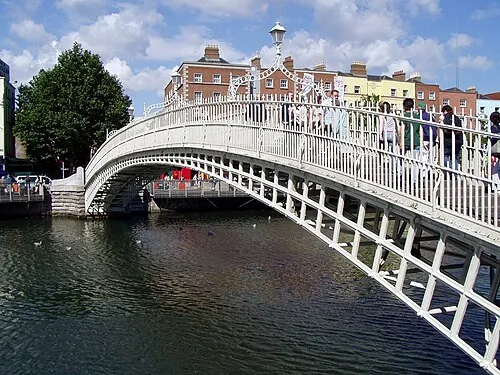 Ha'penny Bridge Landmark, Dublin City6.2 km N
-
Brickfields Park Natural site, Dublin City5.4 km NW
-
Mount Argus Church Attraction, Dublin City4 km NW
-
Kilmashogue Mountain Mountain, Dún Laoghaire-Rathdown4.5 km S
-
Killakee Mountain Mountain, South Dublin7.7 km SW
Other cities and towns in Dún Laoghaire-Rathdown
-
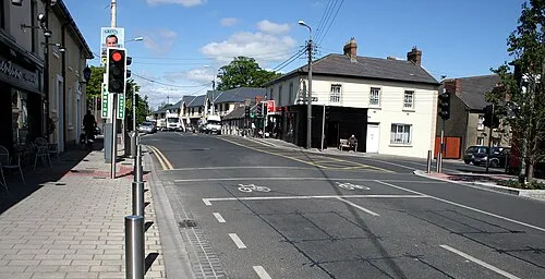 Cabinteely Town, Dún Laoghaire-Rathdown6.8 km E
-
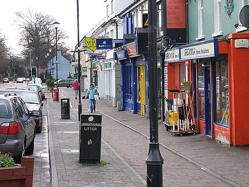 Shankill Town, Dún Laoghaire-Rathdown11 km SE
-
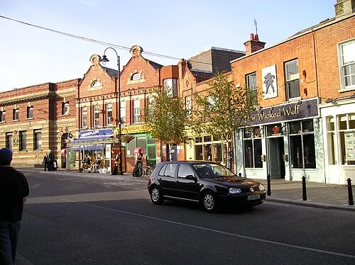 Blackrock Town, Dún Laoghaire-Rathdown5.4 km E
-
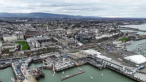 Dún Laoghaire Town, Dún Laoghaire-Rathdown8.1 km E
-
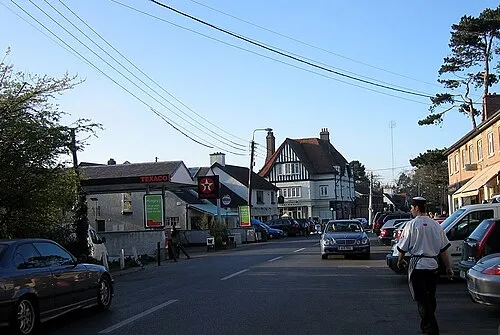 Foxrock Town, Dún Laoghaire-Rathdown6.1 km SE
-
Monkstown Town, Dún Laoghaire-Rathdown6.9 km E
Sources & licences
Data last updated: · 2 independent sources