Guardiagrele
Located in Province of Chieti, Abruzzo Coordinates: 42°11′44″ N 14°13′11″ E
- Population
- 8,881
- 8.9K
- Elevation
- 507 m
- above sea level
- Local time
- UTC+01:00
- Europe/Rome · UTC+01:00
- Places inside
- 24
- listed under Guardiagrele
- Airports
- PSR Abruzzo Airport26 km
- FOG Foggia Gino Lisa Airport138 km
About Guardiagrele
Guardiagrele is a municipality. Location: Province of Chieti, Abruzzo. Population: 8,881. Elevation: 507 m. The best months to visit are May–September. The nearest airport is Abruzzo Airport (26 km). Nearby sights include Castello ducale di Casoli and Museo diocesano di Lanciano.
Photos of Guardiagrele
-
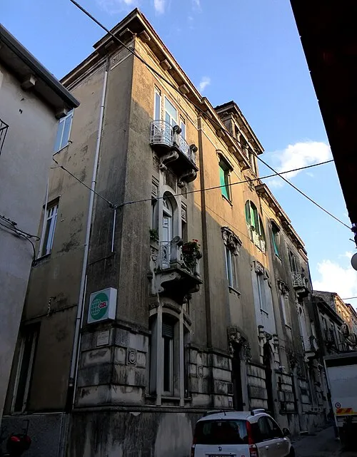
Palazzo Liberatoscioli Zitumassin · CC BY-SA 4.0 -
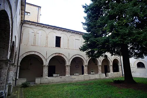
Museo del costume e della tradizione della nostra gente Da flow · CC BY-SA 3.0


Climate of Guardiagrele
Best months for sightseeingBest months for sightseeing: May–September.
This month · November
Outside the best season
Day 13° · Night 4° · Rain 77 mm
- Hottest month
- July (day 27°)
- Coldest month
- January (night 0°)
- Wettest month
- November (77 mm)
- Driest month
- July (39 mm)
Bars: average monthly low and high temperature. Below: precipitation. Monthly averages for 1970–2000 at about 18 km resolution, adjusted for elevation. Highlighted months are mild and relatively dry. Source: WorldClim 2.1 (CC BY 4.0).
Show values as a table
| Month | Jan | Feb | Mar | Apr | May | Jun | Jul | Aug | Sep | Oct | Nov | Dec |
|---|---|---|---|---|---|---|---|---|---|---|---|---|
| Average high (°C) | 8° | 9° | 12° | 15° | 19° | 24° | 27° | 26° | 23° | 18° | 13° | 10° |
| Average low (°C) | 0° | 0° | 2° | 5° | 10° | 13° | 16° | 16° | 13° | 9° | 4° | 1° |
| Precipitation (mm) | 48 | 48 | 52 | 57 | 40 | 51 | 39 | 54 | 65 | 72 | 77 | 65 |
Other places to visit in this season: May June July August September
How to get to Guardiagrele
The nearest airport is Abruzzo Airport (PSR), 26 km to the north as the crow flies. The nearest large city is Split, 233 km to the northeast.
Airports
- Abruzzo Airport (PSR) Pescara 26 kmnorth
- Foggia Gino Lisa Airport (FOG) Foggia (FG) 138 kmsoutheast
- Ciampino–G. B. Pastine International Airport (CIA) Rome 142 kmwest
Nearby large cities
- Split Population: 149.8K 233 kmnortheast
- Rijeka Population: 108K 348 kmnorth
Straight-line distances; road distances are longer. Airport data: OurAirports.
Day trips from Guardiagrele
Within 100 km: 162 historic and cultural sites, 200 natural sites, 34 lakes, rivers and coasts.
0–25 km49 places
- Ripari di Giobbe Beach 24 kmNE
- Spiaggia Postilli Beach 25 kmN
- Spiaggia di Foro Beach 24 kmNE
- Spiaggia di Ghiomera Beach 24 kmNE
25–60 km136 places
- Spiaggia Roseto degli Abruzzi Beach 56 kmN
- La spiaggia del Surabaja Beach 59 kmN
- Pineto Beach Beach 50 kmN
- Spiaggia Salvo Marina Beach 47 kmE
60–100 km211 places
- Vallone Grande Natural site 67 kmSE
- Valle Covatta Natural site 71 kmSE
- Giulianova Beach Beach 67 kmN
- Spiaggia Cupra Marittima Beach 97 kmN
Straight-line distances.
Places in Guardiagrele
24 places- 1 Guardiagrele 4.8K
- 2 San Vincenzo-Cerchiara 483
- 3 Caporosso 421
- 4 Comino 412
- 5 Piano delle Fonti 301
- 6 Bocca di Valle 297
- 7 Colle Barone 248
- 8 San Bartolomeo 231
- 9 San Domenico-Colle 223
- 10 Anello 206
- 11 San Biase 201
- 12 Melone 197
- 13 Santa Lucia 171
- 14 Sciorilli 143
- 15 Colle Luna 141
- 16 San Leonardo 128
- 17 Caprafico 115
- 18 Colle Spedale 84
- 19 Capuani 29
- 20 Pagnotti 19
Bar: population relative to the most populous place in this list.
Heritage & sights4
- Museo del costume e della tradizione della nostra gente · Museum
- Palazzo De Lucia · Historic site
- Palazzo Elisii · Historic site
- Palazzo Liberatoscioli · Historic site
Nearby attractions & nature
Everything nearby-
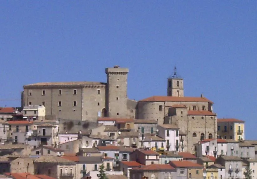 Castello ducale di Casoli Historic site, Casoli10 km SE
-
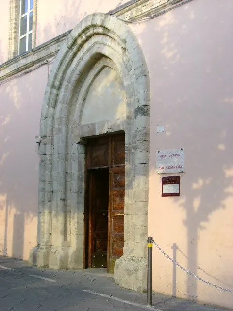 Museo diocesano di Lanciano Museum, Lanciano14 km E
-
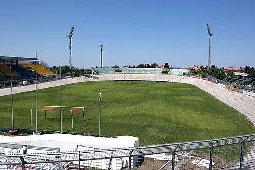 Stadio Guido Biondi Landmark, Lanciano14 km E
-
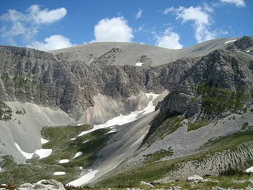 Monte Acquaviva Mountain, Fara San Martino13 km SW
-
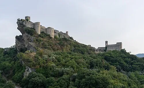 Castello di Roccascalegna Historic site, Roccascalegna16 km SE
-
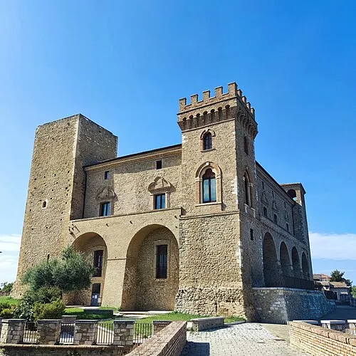 Castello ducale di Crecchio Historic site, Crecchio14 km NE
-
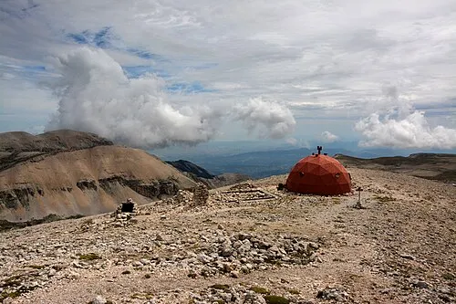 Monte Amaro Mountain, Pacentro16 km SW
-
 Castel Menardo Historic site, Serramonacesca12 km NW
Sources & licences
Data last updated: