Costa Masnaga
Located in Province of Lecco, Lombardy Coordinates: 45°46′01″ N 9°16′40″ E
- Population
- 4,782
- 4.8K
- Elevation
- 301 m
- above sea level
- Local time
- UTC+01:00
- Europe/Rome · UTC+01:00
- Places inside
- 7
- listed under Costa Masnaga
- Airports
- BGY Il Caravaggio International Airport35 km
- LIN Milano Linate Airport36 km
About Costa Masnaga
Costa Masnaga is a municipality. Location: Province of Lecco, Lombardy. Population: 4,782. Elevation: 301 m. The best months to visit are May–September. The nearest airport is Il Caravaggio International Airport (35 km). Nearby sights include Cornizzolo and Monte Rai.
Climate of Costa Masnaga
Best months for sightseeingBest months for sightseeing: May–September.
This month · November
A cold month
Day 11° · Night 3° · Rain 91 mm
- Hottest month
- July (day 27°)
- Coldest month
- January (night -1°)
- Wettest month
- May (138 mm)
- Driest month
- February (54 mm)
Bars: average monthly low and high temperature. Below: precipitation. Monthly averages for 1970–2000 at about 18 km resolution, adjusted for elevation. Highlighted months are mild and relatively dry. Source: WorldClim 2.1 (CC BY 4.0).
Show values as a table
| Month | Jan | Feb | Mar | Apr | May | Jun | Jul | Aug | Sep | Oct | Nov | Dec |
|---|---|---|---|---|---|---|---|---|---|---|---|---|
| Average high (°C) | 6° | 9° | 13° | 16° | 21° | 24° | 27° | 27° | 23° | 17° | 11° | 7° |
| Average low (°C) | -1° | 0° | 3° | 6° | 11° | 14° | 17° | 17° | 13° | 8° | 3° | -1° |
| Precipitation (mm) | 75 | 54 | 81 | 109 | 138 | 121 | 98 | 118 | 129 | 131 | 91 | 64 |
Other places to visit in this season: May June July August September
How to get to Costa Masnaga
The nearest airport is Il Caravaggio International Airport (BGY), 35 km to the east as the crow flies. The nearest large city is Zurich, 186 km to the north.
Airports
- Il Caravaggio International Airport (BGY) Orio al Serio (BG) 35 kmeast
- Milano Linate Airport (LIN) Segrate (MI) 36 kmsouth
- Lugano Airport (LUG) Agno 39 kmnorthwest
Nearby large cities
- Zurich Population: 415.4K 186 kmnorth
- Bern Population: 121.6K 193 kmnorthwest
- Winterthur Population: 111.8K 198 kmnorth
- Lausanne Population: 139.1K 221 kmnorthwest
- Innsbruck Population: 132.5K 232 kmnortheast
Straight-line distances; road distances are longer. Airport data: OurAirports.
Day trips from Costa Masnaga
Within 100 km: 84 historic and cultural sites, 2,254 natural sites, 328 lakes, rivers and coasts.
0–25 km27 places
- Monte Nuvolone Mountain 21 kmN
- Poncione di Cabbio Mountain 23 kmNW
- Parco delle Gole della Breggia Natural site 23 kmNW
- Stadio Comunale di Chiasso Landmark 22 kmW
25–60 km350 places
- Isole di Brissago Island 58 kmNW
- Sant' Apollinare Island 59 kmNW
- San Pancrazio Island 58 kmNW
- Laghetto di Muzzano Lake 37 kmNW
60–100 km2,289 places
- Lago Nero Lake 95 kmNW
- Chaviolas Island 81 kmNE
- Lajets Lake 84 kmN
- Lago Tremorgio Lake 90 kmNW
Straight-line distances.
Places in Costa Masnaga
7 places- 1 Costa Masnaga 3.8K
- 2 Camisasca 665
- 3 Canile 46
- 4 Volpera 35
- 5 Rogolea 34
- 6 Colombaio 28
- 7 Pettana 24
Bar: population relative to the most populous place in this list.
Nearby attractions & nature
Everything nearby-
Cornizzolo Mountain, Valbrona8 km N
-
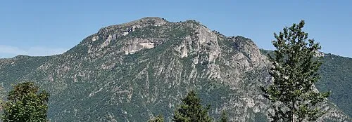 Monte Rai Mountain, Civate9.1 km N
-
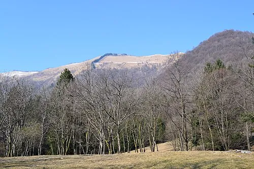 Monte Bolettone Mountain, Faggeto Lario11 km NW
-
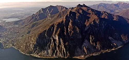 Monte Moregallo Mountain, Valmadrera12 km NE
-
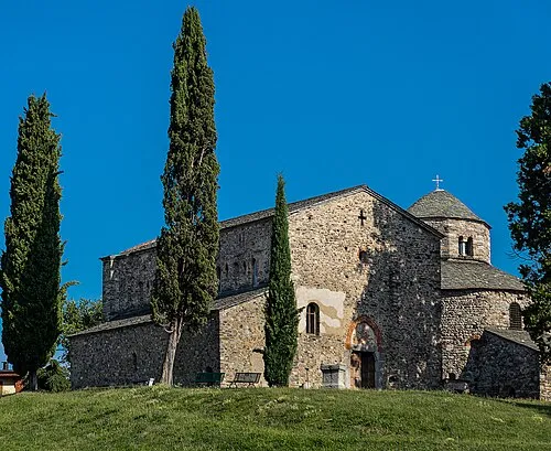 Basilica di San Vincenzo Attraction, Cantù11 km W
-
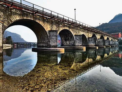 Ponte Azzone Visconti Landmark, Lecco13 km NE
-
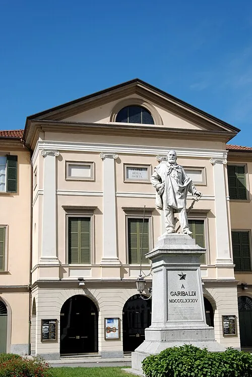 Teatro della Società Attraction, Lecco13 km NE
-
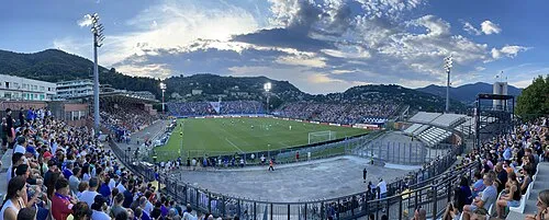 Stadio Giuseppe Sinigaglia Landmark, Como17 km W
Sources & licences
Data last updated: