- Population
- 16,386
- 16.4K
- Elevation
- 529 m
- above sea level
- Local time
- UTC+01:00
- Europe/Rome · UTC+01:00
- Places inside
- 27
- listed under Giaveno
- Airports
- TRN Turin Airport29 km
- CUF Cuneo International Airport60 km
About Giaveno
Giaveno is a municipality. Location: Province of Turin, Piedmont. Population: 16,386. Elevation: 529 m. The best months to visit are June–September. The nearest airport is Turin Airport (29 km). Nearby sights include Sacra di San Michele and Monte Pietraborga.
Photos of Giaveno
-
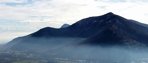
Monte Pietraborga F Ceragioli · CC BY-SA 3.0 -
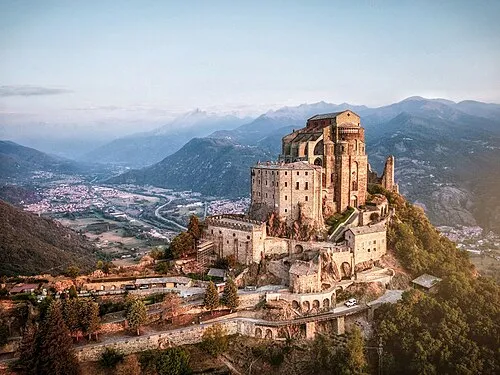
Sacra di San Michele Federico_Milesi · CC BY-SA 4.0


Climate of Giaveno
Best months for sightseeingBest months for sightseeing: June–September.
This month · November
A cold month
Day 10° · Night 2° · Rain 58 mm
- Hottest month
- July (day 26°)
- Coldest month
- January (night -1°)
- Wettest month
- May (111 mm)
- Driest month
- December (45 mm)
Bars: average monthly low and high temperature. Below: precipitation. Monthly averages for 1970–2000 at about 18 km resolution, adjusted for elevation. Highlighted months are mild and relatively dry. Source: WorldClim 2.1 (CC BY 4.0).
Show values as a table
| Month | Jan | Feb | Mar | Apr | May | Jun | Jul | Aug | Sep | Oct | Nov | Dec |
|---|---|---|---|---|---|---|---|---|---|---|---|---|
| Average high (°C) | 7° | 8° | 12° | 15° | 19° | 23° | 26° | 26° | 21° | 16° | 10° | 7° |
| Average low (°C) | -1° | 0° | 3° | 5° | 9° | 13° | 16° | 16° | 13° | 8° | 2° | -1° |
| Precipitation (mm) | 46 | 46 | 54 | 87 | 111 | 86 | 54 | 75 | 75 | 88 | 58 | 45 |
Other places to visit in this season: June July August September
How to get to Giaveno
The nearest airport is Turin Airport (TRN), 29 km to the northeast as the crow flies. The nearest large city is Grenoble, 129 km to the west.
Airports
- Turin Airport (TRN) Caselle Torinese (TO) 29 kmnortheast
- Cuneo International Airport (CUF) Levaldigi (CN) 60 kmsouth
- Milan Malpensa International Airport (MXP) Ferno (VA) 126 kmnortheast
Nearby large cities
- Grenoble Population: 158.6K 129 kmwest
- Nice Population: 342.7K 149 kmsouth
- Geneva Population: 201.7K 159 kmnorthwest
- Lausanne Population: 139.1K 173 kmnorth
- Villeurbanne Population: 131.4K 209 kmnorthwest
Straight-line distances; road distances are longer. Airport data: OurAirports.
Day trips from Giaveno
Within 100 km: 47 historic and cultural sites, 1,165 natural sites, 179 lakes, rivers and coasts.
0–25 km16 places
- Monte Pietraborga Mountain 6 kmSE
- Monte San Giorgio Mountain 9 kmSE
- Monte Robinet Mountain 14 kmW
- Rocciavrè Mountain 15 kmW
25–60 km291 places
- Lac des Vaches Lake 59 kmNW
- Lac Rond Lake 57 kmNW
- Lac du Mont Cenis Lake 39 kmNW
- Lac de Longet Lake 56 kmSW
60–100 km1,084 places
- Grand Lé Lake 95 kmN
- Petit Lé Lake 95 kmN
- Lacs de Fenêtre Lake 94 kmN
- Lacs de Fenêtre Lake 94 kmN
Straight-line distances.
Places in Giaveno
27 places- 1 Giaveno 11.5K
- 2 Pontepietra 815
- 3 Maddalena 236
- 4 Ciausi 133
- 5 Fratelli Piol-Pogolotti 113
- 6 Brossa 65
- 7 Via Caduti sul Lavoro 64
- 8 Roccette 62
- 9 Tetti Via 57
- 10 Mollar dei Franchi 54
- 11 Dalmassi 53
- 12 Tonni 52
- 13 Girella Villa 50
- 14 Rossa 47
- 15 Cascinassa 40
- 16 Verna-Chiarmetta 39
- 17 Coccorda 37
- 18 Barolà Colpastore 36
- 19 Baronera 35
- 20 Via (Case) 30
- 21 Viretta 29
- 22 Pomeri 28
- 23 Levra Sotto 22
- 24 Case Tetti Brandol 21
- 25 Piampaschetto 20
- 26 Brancard 16
- 27 Brancard Monterossino 10
Bar: population relative to the most populous place in this list.
Nearby attractions & nature
Everything nearby-
Sacra di San Michele Attraction, Sant'Ambrogio di Torino5.7 km N
-
Monte Pietraborga Mountain, Trana6.4 km SE
-
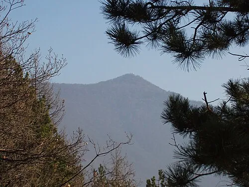 Monte Musinè Mountain, Caselette11 km NE
-
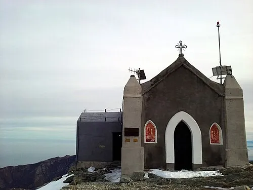 Monte Robinet Mountain, Coazze14 km W
-
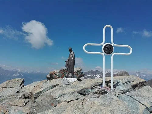 Rocciavrè Mountain, Roure15 km W
-
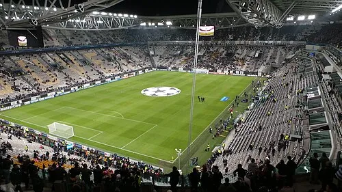 Juventus Stadium Landmark, Borgo Vittoria - Madonna di Campagna - Lucento - Vallette24 km E
-
Monte San Giorgio Mountain, Piossasco9.5 km SE
-
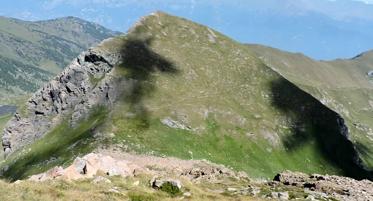 Punta Costabruna Mountain, Coazze14 km W
Sources & licences
Data last updated: