Sant'Ambrogio di Torino
Located in Province of Turin, Piedmont Coordinates: 45°05′58″ N 7°21′44″ E
- Population
- 4,707
- 4.7K
- Elevation
- 355 m
- above sea level
- Local time
- UTC+01:00
- Europe/Rome · UTC+01:00
- Places inside
- 4
- listed under Sant'Ambrogio di Torino
- Airports
- TRN Turin Airport25 km
- CUF Cuneo International Airport65 km
About Sant'Ambrogio di Torino
Sant'Ambrogio di Torino is a municipality. Location: Province of Turin, Piedmont. Population: 4,707. Elevation: 355 m. The best months to visit are May–September. The nearest airport is Turin Airport (25 km). Nearby sights include Monte Musinè and Monte Pietraborga.
Photos of Sant'Ambrogio di Torino
-
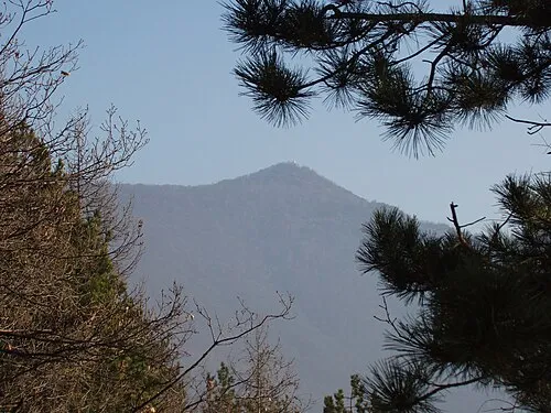
Monte Musinè F Ceragioli · CC BY-SA 3.0 -
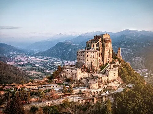
Sacra di San Michele Federico_Milesi · CC BY-SA 4.0


Climate of Sant'Ambrogio di Torino
Best months for sightseeingBest months for sightseeing: May–September.
This month · November
A cold month
Day 11° · Night 3° · Rain 58 mm
- Hottest month
- July (day 27°)
- Coldest month
- January (night 0°)
- Wettest month
- May (111 mm)
- Driest month
- December (45 mm)
Bars: average monthly low and high temperature. Below: precipitation. Monthly averages for 1970–2000 at about 18 km resolution, adjusted for elevation. Highlighted months are mild and relatively dry. Source: WorldClim 2.1 (CC BY 4.0).
Show values as a table
| Month | Jan | Feb | Mar | Apr | May | Jun | Jul | Aug | Sep | Oct | Nov | Dec |
|---|---|---|---|---|---|---|---|---|---|---|---|---|
| Average high (°C) | 8° | 9° | 13° | 16° | 21° | 24° | 27° | 27° | 23° | 17° | 11° | 8° |
| Average low (°C) | 0° | 1° | 4° | 6° | 11° | 15° | 17° | 17° | 14° | 9° | 3° | 0° |
| Precipitation (mm) | 46 | 46 | 54 | 87 | 111 | 86 | 54 | 75 | 75 | 88 | 58 | 45 |
Other places to visit in this season: May June July August September
How to get to Sant'Ambrogio di Torino
The nearest airport is Turin Airport (TRN), 25 km to the northeast as the crow flies. The nearest large city is Grenoble, 130 km to the west.
Airports
- Turin Airport (TRN) Caselle Torinese (TO) 25 kmnortheast
- Cuneo International Airport (CUF) Levaldigi (CN) 65 kmsouth
- Milan Malpensa International Airport (MXP) Ferno (VA) 122 kmnortheast
Nearby large cities
- Grenoble Population: 158.6K 130 kmwest
- Geneva Population: 201.7K 155 kmnorthwest
- Nice Population: 342.7K 155 kmsouth
- Lausanne Population: 139.1K 167 kmnorth
- Bern Population: 121.6K 206 kmnorth
Straight-line distances; road distances are longer. Airport data: OurAirports.
Day trips from Sant'Ambrogio di Torino
Within 100 km: 50 historic and cultural sites, 1,328 natural sites, 181 lakes, rivers and coasts.
0–25 km16 places
- Monte Pietraborga Mountain 10 kmSE
- Monte San Giorgio Mountain 13 kmSE
- Monte Robinet Mountain 17 kmW
- Rocciavrè Mountain 17 kmW
25–60 km287 places
- Lac des Vaches Lake 56 kmNW
- Lac Rond Lake 55 kmNW
- Lac de la Plagne Lake 59 kmNW
- Lac du Mont Cenis Lake 37 kmNW
60–100 km1,256 places
- Lac de Tsofeiret Lake 95 kmN
- Grand Lé Lake 90 kmN
- Petit Lé Lake 89 kmN
- Lacs de Fenêtre Lake 89 kmN
Straight-line distances.
Places in Sant'Ambrogio di Torino
4 placesBar: population relative to the most populous place in this list.
Heritage & sights1
- Sacra di San Michele · Attraction
Nearby attractions & nature
Everything nearby-
Monte Musinè Mountain, Caselette7.4 km E
-
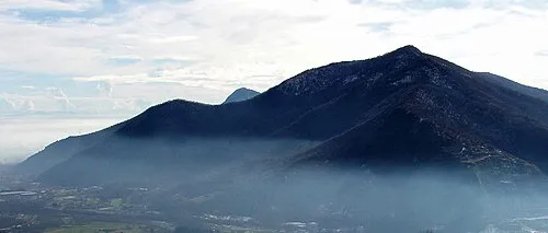 Monte Pietraborga Mountain, Trana9.8 km SE
-
 Juventus Stadium Landmark, Borgo Vittoria - Madonna di Campagna - Lucento - Vallette22 km E
-
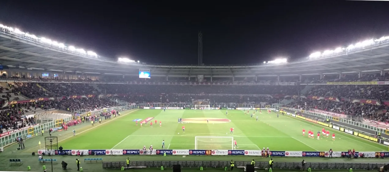 Stadio Olimpico Grande Torino Landmark, Santa Rita - Mirafiori24 km E
-
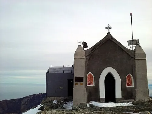 Monte Robinet Mountain, Coazze17 km W
-
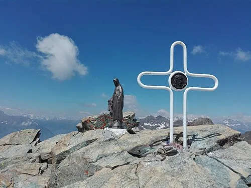 Rocciavrè Mountain, Roure17 km W
-
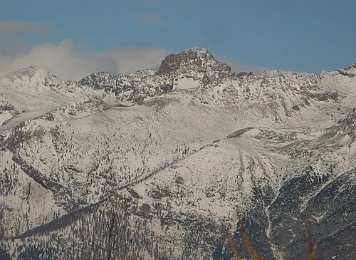 Punta Cristalliera Mountain, San Giorio di Susa18 km W
-
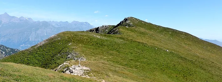 Monte Muretto Mountain, Coazze15 km W
Sources & licences
Data last updated: