Punta Canistreddu
Located in Sassari, Province of Sassari Coordinates: 40°43′00″ N 8°14′00″ E
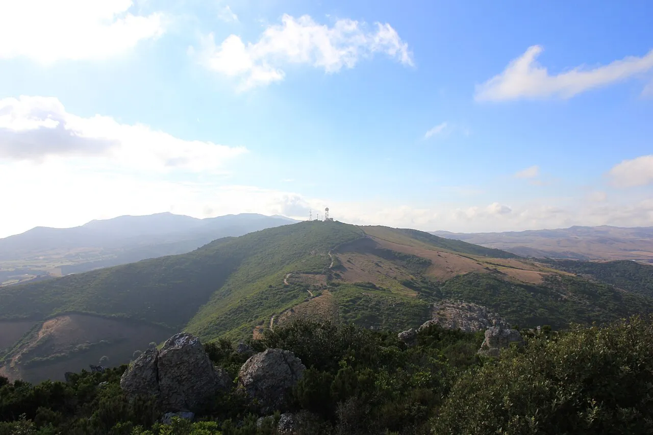
- Elevation
- 130 m
- above sea level
- Local time
- UTC+01:00
- Europe/Rome · UTC+01:00
- Airports
- AHO Alghero-Fertilia Airport11 km
- OLB Olbia Costa Smeralda Airport110 km
About Punta Canistreddu
Punta Canistreddu is a mountain. Location: Sassari, Province of Sassari. Elevation: 130 m. The best months to visit are May–October. The nearest airport is Alghero-Fertilia Airport (11 km). Nearby sights include Monte Giunchi and Monte Forte.
Photos of Punta Canistreddu
-

Gianni Careddu · CC BY-SA 3.0 -
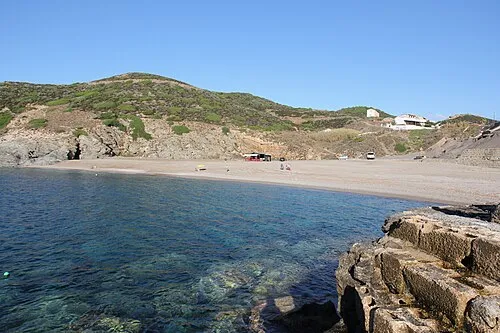
Spiaggia dell'Argentiera Gianni Careddu · CC BY-SA 3.0 -
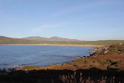
Spiaggia di Porto Ferro Gianni Careddu · CC BY-SA 3.0 -
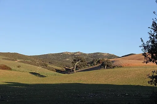
Monte Rosso Gianni Careddu · CC BY-SA 4.0 -
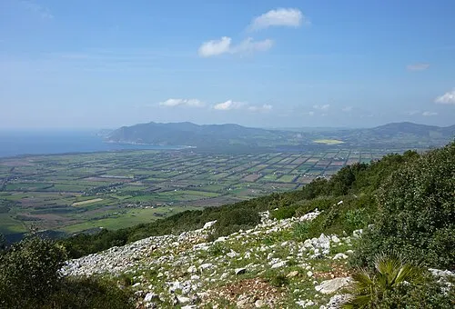
Punta sa Guardiola Gianni Careddu · CC BY-SA 3.0


Climate of Punta Canistreddu
Best months for sightseeingBest months for sightseeing: May–October.
This month · November
A wet month
Day 17° · Night 9° · Rain 101 mm
- Hottest month
- August (day 29°)
- Coldest month
- February (night 6°)
- Wettest month
- November (101 mm)
- Driest month
- July (7 mm)
Bars: average monthly low and high temperature. Below: precipitation. Monthly averages for 1970–2000 at about 18 km resolution, adjusted for elevation. Highlighted months are mild and relatively dry. Source: WorldClim 2.1 (CC BY 4.0).
Show values as a table
| Month | Jan | Feb | Mar | Apr | May | Jun | Jul | Aug | Sep | Oct | Nov | Dec |
|---|---|---|---|---|---|---|---|---|---|---|---|---|
| Average high (°C) | 13° | 13° | 15° | 17° | 21° | 25° | 28° | 29° | 26° | 22° | 17° | 14° |
| Average low (°C) | 6° | 6° | 6° | 8° | 11° | 15° | 17° | 18° | 16° | 13° | 9° | 7° |
| Precipitation (mm) | 93 | 74 | 80 | 62 | 34 | 30 | 7 | 13 | 42 | 88 | 101 | 78 |
Other places to visit in this season: May June July August September October
How to get to Punta Canistreddu
The nearest airport is Alghero-Fertilia Airport (AHO), 11 km to the southeast as the crow flies. For international flights: Olbia Costa Smeralda Airport (OLB) (110 km). The nearest large city is Toulon, 329 km to the northwest.
Airports
- Alghero-Fertilia Airport (AHO) Alghero 11 kmsoutheast
- Olbia Costa Smeralda Airport (OLB) Olbia (SS) 110 kmeast
- Figari Sud-Corse Airport (FSC) Figari 113 kmnortheast
Nearby large cities
- Toulon Population: 168.7K 329 kmnorthwest
- Nice Population: 342.7K 341 kmnorth
- Marseille Population: 877.2K 371 kmnorthwest
- Aix-en-Provence Population: 146.8K 388 kmnorthwest
Straight-line distances; road distances are longer. Airport data: OurAirports.
Day trips from Punta Canistreddu
Within 100 km: 5 historic and cultural sites, 143 natural sites, 42 lakes, rivers and coasts.
0–25 km35 places
- Spiaggia di Scoglio lungo Beach 20 kmNE
- Basilica of San Gavino Attraction 19 kmNE
- Spiaggia dell'Argentiera Beach 8 kmW
- Spiaggia di Mugoni Beach 11 kmS
25–60 km63 places
- Asinara Island 39 kmN
- Spiaggia di Lu Bagnu Beach 44 kmNE
- Spiaggia della Marina di Sorso Beach 30 kmNE
- Punta Cuntrasta Mountain 41 kmNE
60–100 km92 places
- Rena Majori Beach 94 kmNE
- Monte Cuccaro Mountain 67 kmNE
- Rena Bianca Beach 100 kmNE
- Spiaggia La Padda Beach 94 kmNE
Straight-line distances.
Nearest towns and villages
-
Monte Forte Village, Sassari3.4 km NE
-
La Corte Village, Sassari4.4 km NE
-
Palmadula Village, Sassari5.1 km NW
-
 Baratz Village, Sassari5.4 km S
-
 La Lacuna Village, Sassari5.6 km NW
-
 Argentiera Village, Sassari7.5 km W
Nearby attractions & nature
Everything nearby-
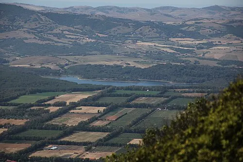 Monte Giunchi Mountain, Sassari1.2 km SW
-
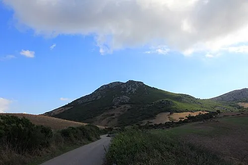 Monte Forte Mountain, Sassari2.2 km E
-
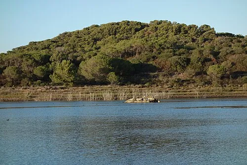 Monte de s'Abe Mountain, Sassari3.4 km S
-
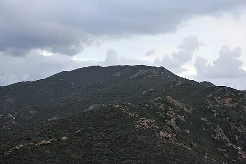 Punta de lu Cornu Mountain, Sassari4.2 km W
-
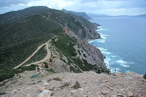 Punta lu Caparoni Mountain, Sassari4.7 km W
-
Spiaggia di Porto Ferro Beach, Sassari4.3 km SW
-
Monte Rosso Mountain, Sassari5.2 km N
-
Punta sa Guardiola Mountain, Alghero5.7 km S
More nature in Italy
-
Monte Leposu Mountain, Sassari5.8 km E
-
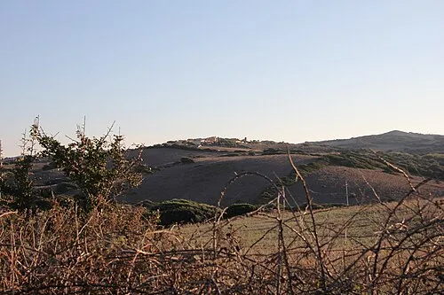 Punta Agliastroni Mountain, Sassari7.9 km NW
-
Punta Ferru Mountain, Sassari7.2 km N
-
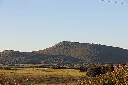 Monte San Giusta Mountain, Sassari10 km N
-
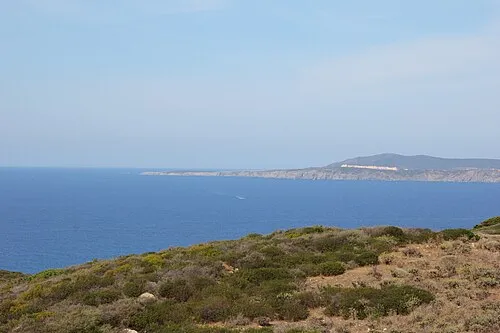 Monte Rugginosu Mountain, Sassari14 km N
-
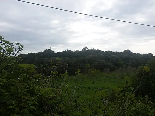 Monte La Corra Mountain, Sassari20 km NE
Sources & licences
Data last updated: · 2 independent sources