Monteriggioni
Located in Province of Siena, Tuscany Coordinates: 43°23′24″ N 11°13′24″ E
- Population
- 10,033
- 10K
- Elevation
- 272 m
- above sea level
- Local time
- UTC+01:00
- Europe/Rome · UTC+01:00
- Places inside
- 37
- listed under Monteriggioni
- Airports
- FLR Florence Airport, Peretola47 km
- PSA Pisa International Airport75 km
About Monteriggioni
Monteriggioni is a municipality. Location: Province of Siena, Tuscany. Population: 10,033. Elevation: 272 m. The best months to visit are May–July, September–October. The nearest airport is Florence Airport, Peretola (47 km). Nearby sights include Teatro dei Varii and Torre del Mangia.
Photos of Monteriggioni
-
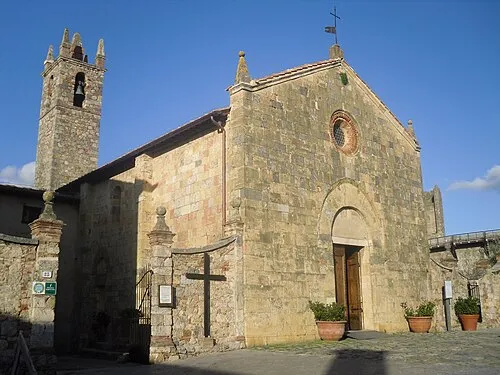
Church of Santa Maria Assunta Alessandro Antonelli · CC BY 3.0

Climate of Monteriggioni
Best months for sightseeingBest months for sightseeing: May–July, September–October.
This month · November
A wet month
Day 14° · Night 7° · Rain 109 mm
- Hottest month
- July (day 29°)
- Coldest month
- January (night 3°)
- Wettest month
- November (109 mm)
- Driest month
- July (34 mm)
Bars: average monthly low and high temperature. Below: precipitation. Monthly averages for 1970–2000 at about 18 km resolution, adjusted for elevation. Highlighted months are mild and relatively dry. Source: WorldClim 2.1 (CC BY 4.0).
Show values as a table
| Month | Jan | Feb | Mar | Apr | May | Jun | Jul | Aug | Sep | Oct | Nov | Dec |
|---|---|---|---|---|---|---|---|---|---|---|---|---|
| Average high (°C) | 10° | 11° | 13° | 17° | 22° | 25° | 29° | 29° | 24° | 19° | 14° | 10° |
| Average low (°C) | 3° | 3° | 5° | 8° | 11° | 15° | 17° | 17° | 14° | 11° | 7° | 3° |
| Precipitation (mm) | 68 | 66 | 68 | 78 | 63 | 53 | 34 | 47 | 75 | 94 | 109 | 85 |
Other places to visit in this season: May June July September October
How to get to Monteriggioni
The nearest airport is Florence Airport, Peretola (FLR), 47 km to the north as the crow flies. The nearest large city is Nice, 322 km to the west.
Airports
- Florence Airport, Peretola (FLR) Firenze (FI) 47 kmnorth
- Pisa International Airport (PSA) Pisa (PI) 75 kmnorthwest
- Marina di Campo Airport (EBA) Campo nell'Elba (LI) 106 kmsouthwest
Nearby large cities
- Nice Population: 342.7K 322 kmwest
- Rijeka Population: 108K 335 kmnortheast
- Ljubljana Population: 272.2K 394 kmnortheast
Straight-line distances; road distances are longer. Airport data: OurAirports.
Day trips from Monteriggioni
Within 100 km: 145 historic and cultural sites, 220 natural sites, 45 lakes, rivers and coasts.
0–25 km23 places
- Monte Vasone Mountain 9 kmSW
- Le Masse di Siena Mountain 13 kmSE
- Poggio di Ricavo Mountain 11 kmNE
- Montagnola Mountain 12 kmS
25–60 km53 places
- Cormorano Beach 59 kmW
- Poggio le Soline Mountain 34 kmS
- Sassoforte Mountain 41 kmS
- Monte Morello Mountain 55 kmN
60–100 km334 places
- Poggio di Iavello Mountain 65 kmN
- Poggio Mosconcino Mountain 64 kmS
- Parco della Rimembranza Natural site 70 kmS
- Parco di Villa Pizzetti Natural site 71 kmS
Straight-line distances.
Places in Monteriggioni
37 places
Castellina Scalo
Population: 2.4K

Belverde
Population: 1.2K

Badesse
Population: 512

Uopini
Population: 471

Tognazza
Population: 417

Abbadia Isola
Population: 136
- 7 Colombaio-Via Regioni 115
- 8 Lornano 87
- 9 Strove 84
- 10 Carpineta 82
- 11 Bivio Santo Stefano 74
- 12 La Ripa 69
- 13 Vignaglia 65
- 14 Santa Lucia 61
- 15 Monteriggioni 60
- 16 Corpo Santo 53
- 17 Basciano 49
- 18 La Villa 49
- 19 Villa Parigini 49
- 20 La Colonna 42
- 21 Acquaviva 41
- 22 Monteresi 40
- 23 Casone 32
- 24 Santa Colomba 32
- 25 Poggiolo 27
- 26 Cannuccio 26
- 27 Case Operaie 26
- 28 Campo di Fiori 25
- 29 Rigoni 25
- 30 Santo Stefano 21
- 31 Sensano 20
- 32 Casa Nuova 18
- 33 Santa Barbara-Miniera 17
- 34 Bracciano 16
- 35 Gabbricce 11
- 36 Colle Ciupi 10
Bar: population relative to the most populous place in this list.
Heritage & sights1
- Church of Santa Maria Assunta · Attraction
Nearby attractions & nature
Everything nearby-
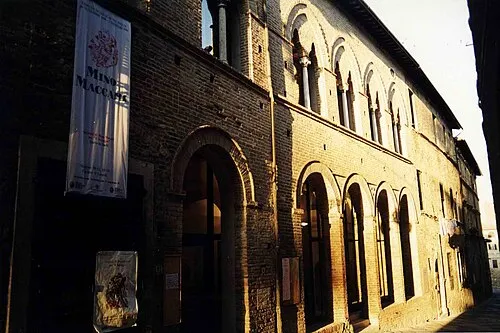 Teatro dei Varii Attraction, Colle di Val d'Elsa9 km NW
-
 Torre del Mangia Landmark, Siena12 km SE
-
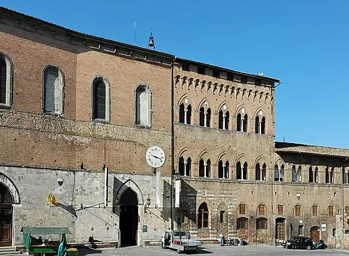 Santa Maria della Scala Museum, Siena12 km SE
-
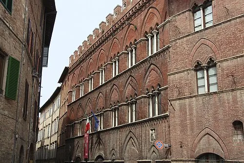 Pinacoteca Nazionale Museum, Siena12 km SE
-
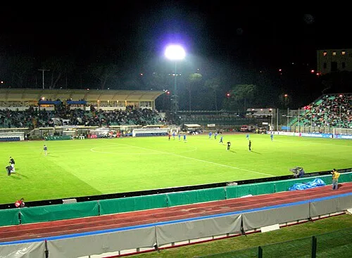 Stadio Comunale "Artemio Franchi" Landmark, Siena11 km SE
-
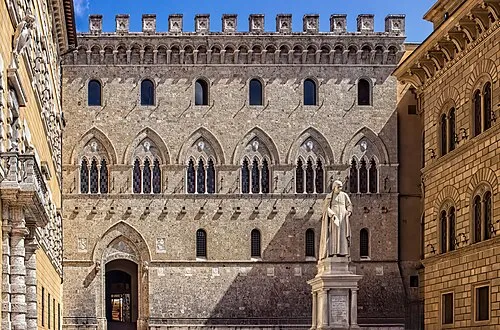 Palazzo Salimbeni Historic site, Siena12 km SE
-
Monte Vasone Mountain, Casole d'Elsa9.3 km SW
-
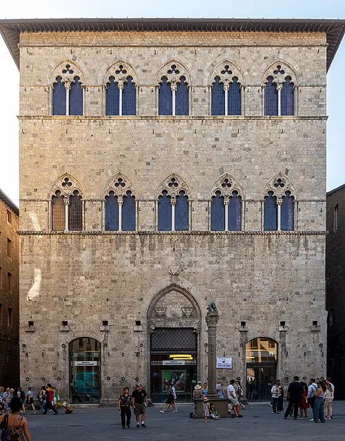 Palazzo Tolomei Historic site, Siena12 km SE
Sources & licences
Data last updated: