Sant'Andrea A Montecchio
Located in Siena, Province of Siena Coordinates: 43°17′00″ N 11°18′00″ E
- Population
- 791
- 791
- Elevation
- 254 m
- above sea level
- Local time
- UTC+01:00
- Europe/Rome · UTC+01:00
- Airports
- FLR Florence Airport, Peretola59 km
- PSA Pisa International Airport86 km
About Sant'Andrea A Montecchio
Sant'Andrea A Montecchio is a village. Location: Siena, Province of Siena. Population: 791. Elevation: 254 m. The best months to visit are May–October. The nearest airport is Florence Airport, Peretola (59 km). Nearby sights include Pinacoteca Nazionale and Santa Maria della Scala.
Photos of Sant'Andrea A Montecchio
-
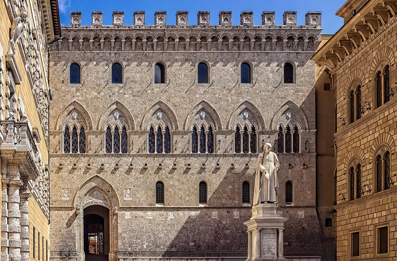
Palazzo Salimbeni Ray in Manila · CC BY 2.0 -
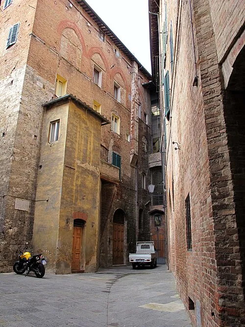
Castellare degli Ugurgieri Sailko · CC BY-SA 3.0 -
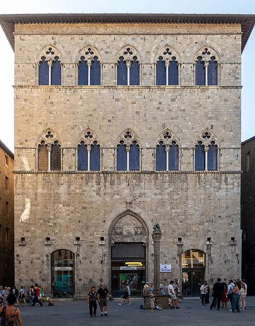
Palazzo Tolomei Rhododendrites · CC BY-SA 4.0 -
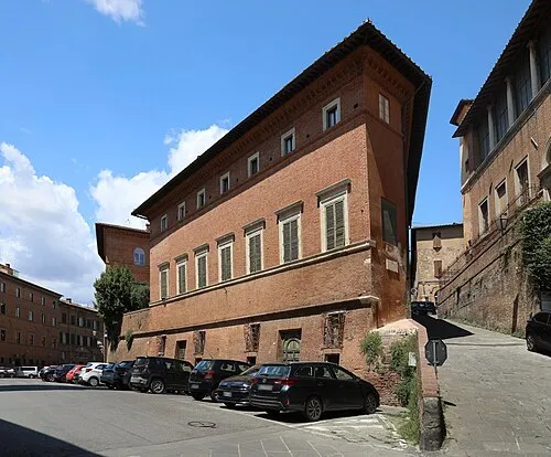
Palazzo Celsi Pollini Francesco Bini · CC BY-SA 4.0 -
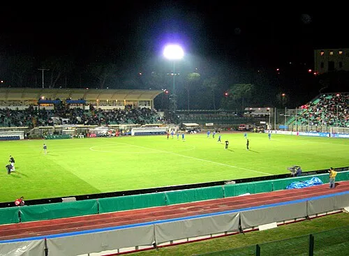
Stadio Comunale "Artemio Franchi" Angelo.romano · CC BY-SA 3.0


Climate of Sant'Andrea A Montecchio
Best months for sightseeingBest months for sightseeing: May–October.
This month · November
Outside the best season
Day 14° · Night 7° · Rain 94 mm
- Hottest month
- July (day 28°)
- Coldest month
- January (night 3°)
- Wettest month
- November (94 mm)
- Driest month
- July (28 mm)
Bars: average monthly low and high temperature. Below: precipitation. Monthly averages for 1970–2000 at about 18 km resolution, adjusted for elevation. Highlighted months are mild and relatively dry. Source: WorldClim 2.1 (CC BY 4.0).
Show values as a table
| Month | Jan | Feb | Mar | Apr | May | Jun | Jul | Aug | Sep | Oct | Nov | Dec |
|---|---|---|---|---|---|---|---|---|---|---|---|---|
| Average high (°C) | 10° | 11° | 13° | 17° | 21° | 25° | 28° | 28° | 24° | 19° | 14° | 10° |
| Average low (°C) | 3° | 3° | 5° | 8° | 11° | 15° | 17° | 17° | 14° | 11° | 7° | 4° |
| Precipitation (mm) | 59 | 58 | 59 | 66 | 55 | 44 | 28 | 40 | 67 | 81 | 94 | 72 |
Other places to visit in this season: May June July August September October
How to get to Sant'Andrea A Montecchio
The nearest airport is Florence Airport, Peretola (FLR), 59 km to the north as the crow flies. The nearest large city is Nice, 330 km to the west.
Airports
- Florence Airport, Peretola (FLR) Firenze (FI) 59 kmnorth
- Pisa International Airport (PSA) Pisa (PI) 86 kmnorthwest
- Perugia San Francesco d'Assisi – Umbria International Airport (PEG) Perugia (PG) 101 kmeast
Nearby large cities
- Nice Population: 342.7K 330 kmwest
- Rijeka Population: 108K 338 kmnortheast
- Ljubljana Population: 272.2K 399 kmnortheast
Straight-line distances; road distances are longer. Airport data: OurAirports.
Day trips from Sant'Andrea A Montecchio
Within 100 km: 146 historic and cultural sites, 223 natural sites, 51 lakes, rivers and coasts.
0–25 km20 places
- Monte Vasone Mountain 15 kmNW
- Le Masse di Siena Mountain 3 kmNE
- Poggio di Ricavo Mountain 22 kmN
- Montagnola Mountain 9 kmW
25–60 km104 places
- Poggio Mosconcino Mountain 53 kmS
- Parco della Rimembranza Natural site 60 kmS
- Poggio le Soline Mountain 27 kmSW
- Sassoforte Mountain 32 kmSW
60–100 km296 places
- Poggio di Iavello Mountain 78 kmN
- Parco di Villa Pizzetti Natural site 61 kmS
- Parco del fiume Ombrone Silvano Signori Natural site 60 kmS
- Riva del Marchese Beach 100 kmS
Straight-line distances.
Nearby attractions & nature
Everything nearby-
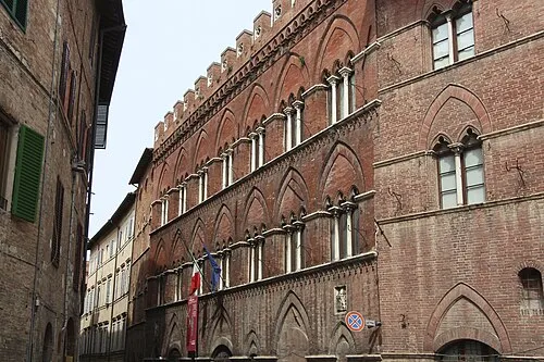 Pinacoteca Nazionale Museum, Siena4.4 km NE
-
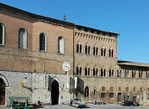 Santa Maria della Scala Museum, Siena4.4 km NE
-
 Torre del Mangia Landmark, Siena4.7 km NE
-
Palazzo Celsi Pollini Historic site, Siena4.1 km NE
-
Stadio Comunale "Artemio Franchi" Landmark, Siena4.8 km NE
-
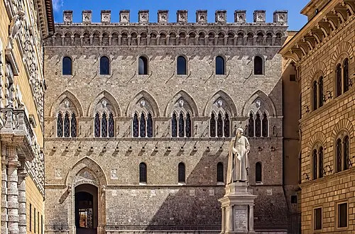 Palazzo Salimbeni Historic site, Siena4.9 km NE
Other cities and towns in Siena
-
 Agostoli Village, Siena2.9 km N
-
Leccio Village, Siena1.5 km NW
-
Doglia Village, Siena2.1 km E
-
Poggio alle Rose Village, Siena1.8 km NE
-
Ferratore Village, Siena2.5 km NW
-
 Taverne D'Arbia Village, Siena7.8 km E
Sources & licences
Data last updated: