- Population
- 22,075
- 22.1K
- Elevation
- 9 m
- above sea level
- Local time
- UTC+09:00
- Asia/Tokyo · UTC+09:00
- Airports
- NRT Narita International Airport16 km
- IBR Ibaraki Airport59 km
About Yokoshiba
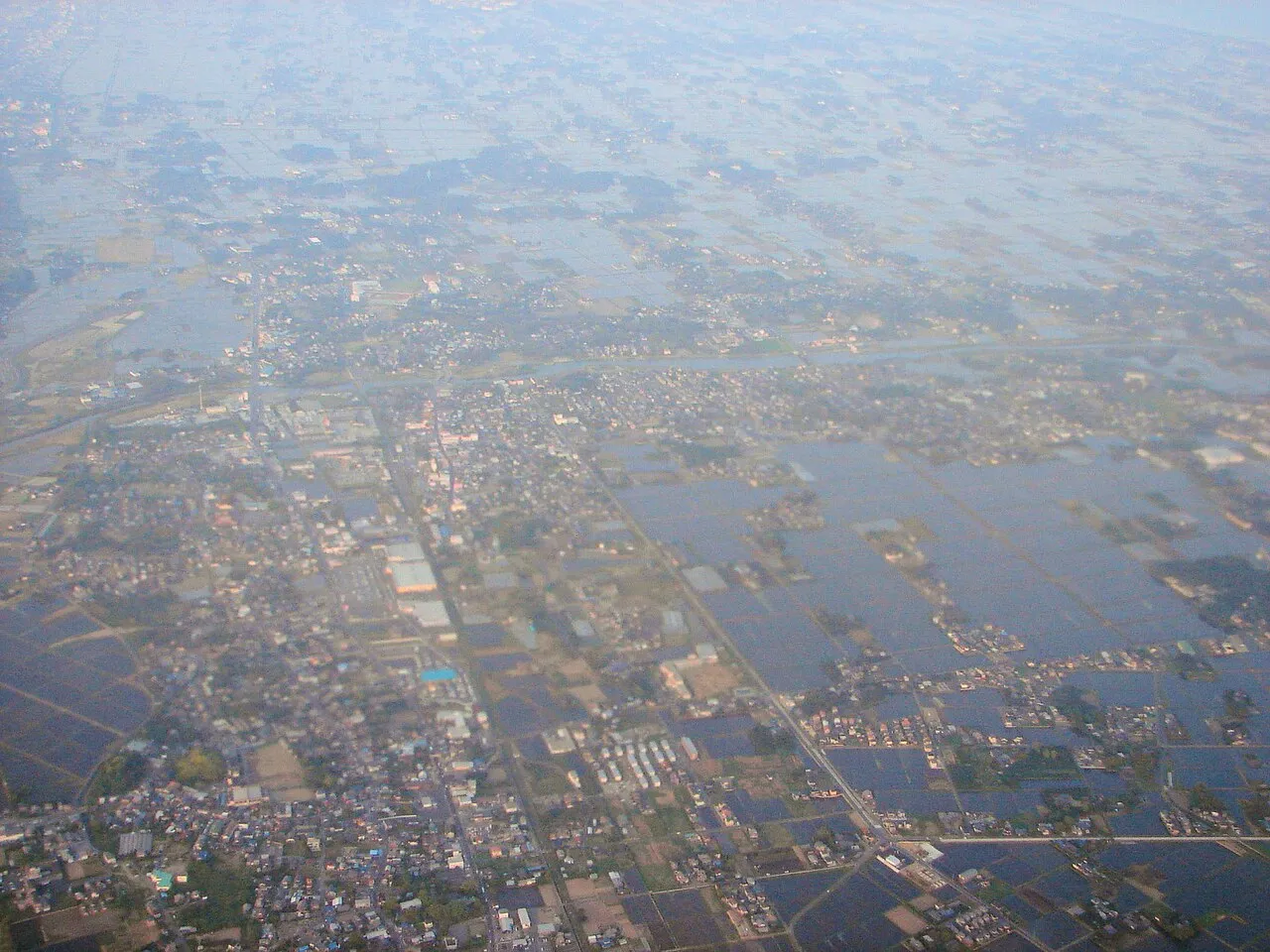
Yokoshiba is a town. Location: Yokoshibahikari Machi, Sambu-gun. Population: 22,075. Elevation: 9 m.
Yokoshiba (横芝町, Yokoshiba-machi) was a town located in Sanbu District, Chiba Prefecture, Japan. Asahi Village was established on April 1, 1889, within Musha District. It changed its name to Yokoshiba on December 28, 1892. Musha District became part of Sanbu District from April 1, 1897. On May 10, 1897, Yokoshiba was elevated to town status. It expanded through the annexation of the neighboring villages of Ōfusa and Kamisakae on July 1, 1955.
Source: Wikipedia · CC BY-SA 4.0
At a glance
- Built
- 1889
- Area
- 33.6 km²
Source: Wikidata
Climate of Yokoshiba
Best months for sightseeingBest months for sightseeing: May–July, September–October.
This month · November
A wet month
Day 17° · Night 8° · Rain 107 mm
Better nearby cities in November
- Isehara · 110 km west18°
- Odawara · 128 km west19°
- Mishima · 154 km west18°
- Hottest month
- August (day 29°)
- Coldest month
- January (night 0°)
- Wettest month
- September (200 mm)
- Driest month
- January (57 mm)
Bars: average monthly low and high temperature. Below: precipitation. Monthly averages for 1970–2000 at about 18 km resolution, adjusted for elevation. Highlighted months are mild and relatively dry. Source: WorldClim 2.1 (CC BY 4.0).
Show values as a table
| Month | Jan | Feb | Mar | Apr | May | Jun | Jul | Aug | Sep | Oct | Nov | Dec |
|---|---|---|---|---|---|---|---|---|---|---|---|---|
| Average high (°C) | 10° | 10° | 13° | 18° | 22° | 24° | 27° | 29° | 26° | 22° | 17° | 12° |
| Average low (°C) | 0° | 1° | 4° | 10° | 14° | 18° | 21° | 23° | 20° | 14° | 8° | 2° |
| Precipitation (mm) | 57 | 78 | 117 | 123 | 125 | 168 | 122 | 129 | 200 | 192 | 107 | 57 |
Other places to visit in this season: May June July September October
How to get to Yokoshiba
The nearest airport is Narita International Airport (NRT), 16 km to the northwest as the crow flies. The nearest large city is Narita, 21 km to the northwest.
Airports
- Narita International Airport (NRT) Narita 16 kmnorthwest
- Ibaraki Airport (IBR) Omitama 59 kmnorth
- Tokyo Haneda International Airport (HND) Tokyo 64 kmwest
Nearby large cities
- Narita Population: 132.9K 21 kmnorthwest
- Sakura Population: 173.7K 24 kmwest
- Yachiyo Population: 199.5K 34 kmwest
- Inzai Population: 105.5K 35 kmnorthwest
- Ichihara Population: 283.5K 39 kmwest
Straight-line distances; road distances are longer. Airport data: OurAirports.
Day trips from Yokoshiba
Within 100 km: 49 historic and cultural sites, 20 natural sites, 34 lakes, rivers and coasts.
0–25 km1 place
- Kuriyama River River 7 kmSE
25–60 km17 places
- Obitsu River River 59 kmSW
- Tōkyō Gate Bridge Landmark 60 kmW
- Yumenoshima Park Natural site 60 kmW
- Arakawa Drainage Canal River 58 kmW
60–100 km85 places
- Jōga Shima Island 97 kmSW
- Enoshima Island 99 kmSW
- Ai River River 73 kmSW
- Mount Atago Mountain 75 kmSW
Straight-line distances.
Sources & licences
Data last updated: · 2 independent sources