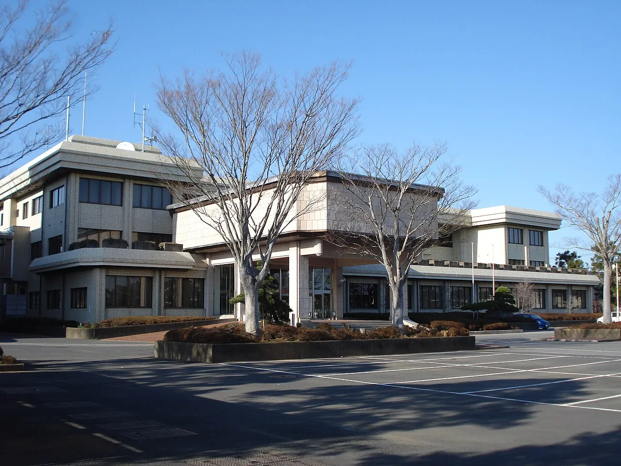
- Population
- 48,444
- 48.4K
- Elevation
- 52 m
- above sea level
- Local time
- UTC+09:00
- Asia/Tokyo · UTC+09:00
- Airports
- NRT Narita International Airport16 km
- HND Tokyo Haneda International Airport58 km
About Sanmu
Sanmu is a city. Location: Sanmu Shi, Chiba. Population: 48,444. Elevation: 52 m.
Sanmu (山武市, Sanmu-shi) is a city located in Chiba Prefecture, Japan. As of 1 November 2020, the city had an estimated population of 50,321 in 22,397 households and a population density of 340 inhabitants per square kilometre (880/sq mi). The total area of the city is 146.38 square kilometres (56.52 sq mi).
Source: Wikipedia · CC BY-SA 4.0
Photos of Sanmu
-

小石川人晃 · CC BY-SA 4.0 -

ShukuSen · CC BY-SA 4.0 -

小石川人晃 · CC BY-SA 4.0 -

小石川人晃 · CC BY-SA 4.0 -

小石川人晃 · CC BY-SA 4.0


Travel notes for Sanmu
From Wikivoyage
This article refers to the Naruto in Chiba Prefecture. For the Naruto in Tokushima Prefecture, click here.
Sanmu (山武) is a city in Chiba, Japan.
Understand+
Tourist information site:
The local tourist association has a Japanese-only guide site. with integrated Google Translate.
Get in+
By train:
From Tokyo station, Naruto can be reached by the JR Sobu Line.
Infrequent Shiosai limited express trains leave once every 2-3 hours, generally at 40 past the hour. This will get you to Naruto in as little as one hour for ¥2490.
The cheaper, more frequent alternative is to use a JR Sobu line train at a cost of ¥1280, changing at Chiba; this will take you about 1 3/4 hours.
Sobu Line trains from Chiba generally leave every 30 minutes, reaching Naruto in 45 minutes (¥650). Reserved Shiosai trains take a half hour and cost ¥1460.
These trains are free to use with a Japan Rail Pass or JR East Rail Pass.
By bus:
Highway buses from Hamamatsucho Busterminal in Tokyo and Chiba station.
Source: Wikivoyage · CC BY-SA 4.0 · abridged
Places bordering Sanmu
- Tōgane
- Yachimata
- Tomisato-shi
- Kujūkuri Machi
- Shibayama Machi
- Yokoshibahikari Machi
Population of Sanmu over time
| 2010 | 56,089 | |
|---|---|---|
| 2015 | 52,222 | |
| 2021 | 48,196 |
Censuses and official estimates; source: Wikidata.
Climate of Sanmu
Best months for sightseeingBest months for sightseeing: May–July, September–October.
This month · November
A wet month
Day 17° · Night 8° · Rain 107 mm
Better nearby cities in November
- Isehara · 103 km west18°
- Odawara · 121 km west19°
- Mishima · 147 km west18°
- Hottest month
- August (day 29°)
- Coldest month
- January (night 0°)
- Wettest month
- September (200 mm)
- Driest month
- January (57 mm)
Bars: average monthly low and high temperature. Below: precipitation. Monthly averages for 1970–2000 at about 18 km resolution, adjusted for elevation. Highlighted months are mild and relatively dry. Source: WorldClim 2.1 (CC BY 4.0).
Show values as a table
| Month | Jan | Feb | Mar | Apr | May | Jun | Jul | Aug | Sep | Oct | Nov | Dec |
|---|---|---|---|---|---|---|---|---|---|---|---|---|
| Average high (°C) | 9° | 10° | 13° | 18° | 21° | 24° | 27° | 29° | 26° | 21° | 17° | 12° |
| Average low (°C) | 0° | 0° | 4° | 9° | 14° | 17° | 21° | 23° | 20° | 14° | 8° | 2° |
| Precipitation (mm) | 57 | 78 | 117 | 123 | 125 | 168 | 122 | 129 | 200 | 192 | 107 | 57 |
Other places to visit in this season: May June July September October
How to get to Sanmu
The nearest airport is Narita International Airport (NRT), 16 km to the north as the crow flies. The nearest large city is Sakura, 19 km to the northwest.
Airports
- Narita International Airport (NRT) Narita 16 kmnorth
- Tokyo Haneda International Airport (HND) Tokyo 58 kmwest
- Ibaraki Airport (IBR) Omitama 61 kmnorth
Nearby large cities
- Sakura Population: 173.7K 19 kmnorthwest
- Narita Population: 132.9K 20 kmnorthwest
- Yachiyo Population: 199.5K 29 kmnorthwest
- Inzai Population: 105.5K 33 kmnorthwest
- Ichihara Population: 283.5K 33 kmwest
Straight-line distances; road distances are longer. Airport data: OurAirports.
Day trips from Sanmu
Within 100 km: 49 historic and cultural sites, 20 natural sites, 34 lakes, rivers and coasts.
0–25 km1 place
- Kuriyama River River 11 kmE
25–60 km36 places
- Obitsu River River 53 kmSW
- Koito River River 60 kmSW
- Tōkyō Gate Bridge Landmark 54 kmW
- Yumenoshima Park Natural site 54 kmW
60–100 km66 places
- Jōga Shima Island 91 kmSW
- Enoshima Island 92 kmSW
- Ai River River 67 kmSW
- Mount Atago Mountain 69 kmSW
Straight-line distances.
Sources & licences
Data last updated: · 2 independent sources